
Certified guide requirement
Bhutan's Department of Tourism states that visitors are required to be accompanied by a certified guide; guides are also required for monument and dzong entry.
Western Bhutan destination guide for Thimphu, Paro, Punakha, Wangdue Phodrang, Gangtey and Phobjikha, and Haa, shaped to help travellers compare valleys, choose a realistic route, and understand access-aware visitor guidance.
Bhutan's Department of Tourism states that visitors are required to be accompanied by a certified guide; guides are also required for monument and dzong entry.
Monument fees apply at every monument. Site schedules, religious events and official functions take priority, so fees and opening hours should remain editable and be verified before each season.
Smart clothing covering shoulders and knees is appropriate. Visitors should not touch sacred objects or photograph people without permission.
All treks require accredited guiding support. Day hikes should be adjusted for weather, altitude and trail conditions. Drone use requires advance permission, and interior photography may be restricted.
Bhutan's capital: living culture, sacred landmarks, art and accessible mountain hikes
Thimphu is Bhutan's political and cultural capital, but it remains unusually intimate for a national capital. Government offices, monasteries, markets, museums, art schools and forest trails occupy the same narrow valley. The destination is best understood through living Buddhist practice, national institutions, traditional crafts, contemporary city life and immediate access to the surrounding mountains.
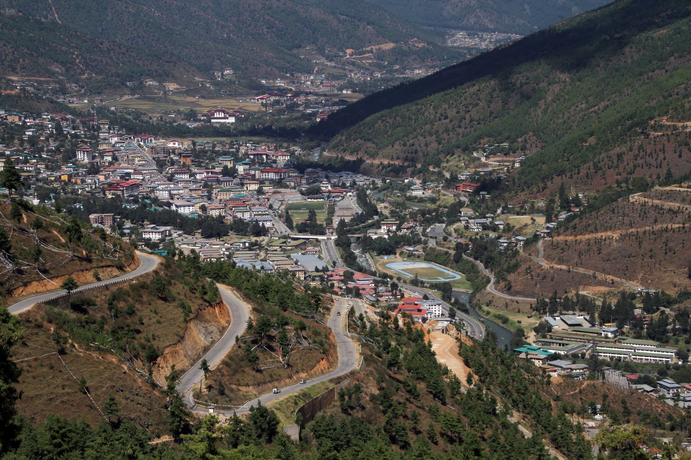
Each experience includes imagery, location, tags, recommended time, difficulty, priority, summary, and visitor notes for practical route planning.
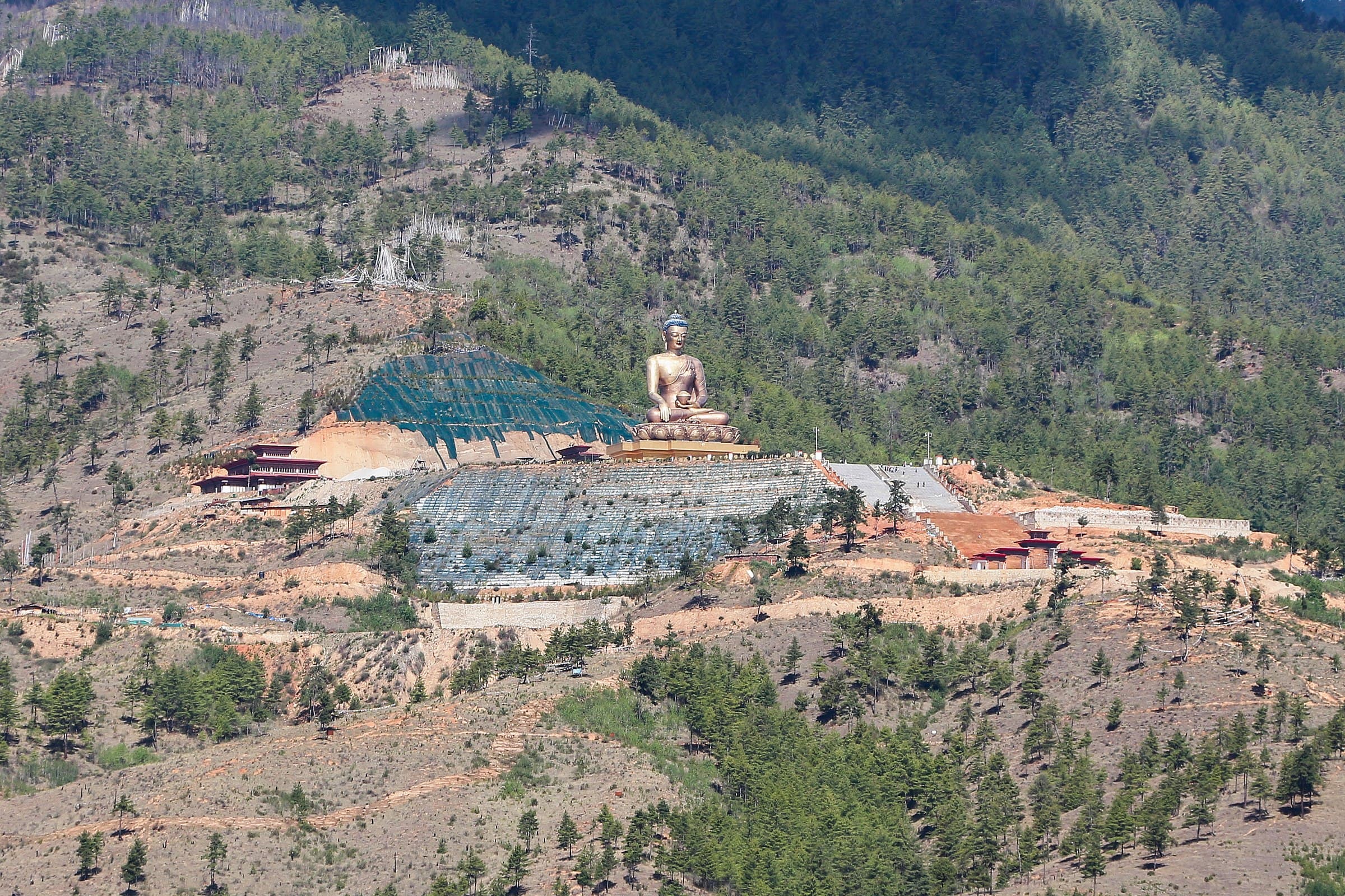 01Place
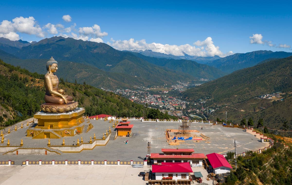
The monumental 54-metre Buddha Dordenma overlooks Thimphu from Kuenselphodrang Nature Park. The statue contains more than 125,000 smaller Buddha images and combines a major sacred site with one of the capital's broadest valley panoramas.
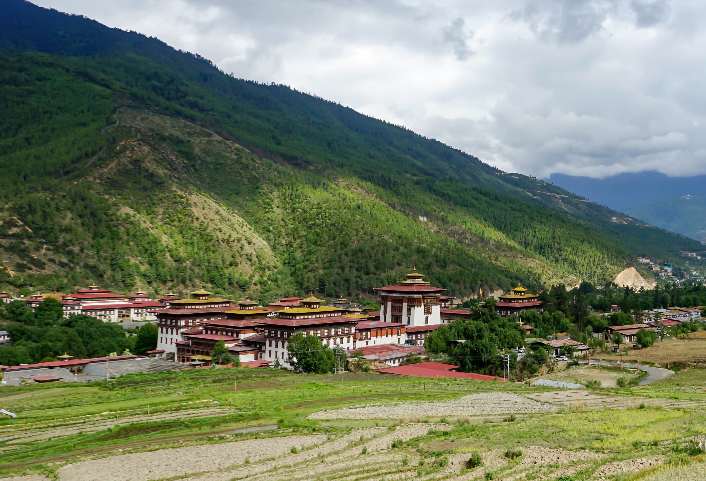 02Place
Thimphu's great riverside fortress houses important government offices and major monastic institutions. Its huge white walls, golden roofs, ceremonial courtyards and painted timberwork make it one of the capital's defining architectural experiences.
 03Place
Built in 1974 in memory of Bhutan's Third King, the chorten is one of the best places to observe Buddhism as part of everyday urban life. Local residents circumambulate, spin prayer wheels and make offerings throughout the day.
 04Place
A forested preserve above the city where visitors can see the takin, Bhutan's unusual national animal, in a semi-natural hillside setting. It works particularly well for families and travellers interested in wildlife.
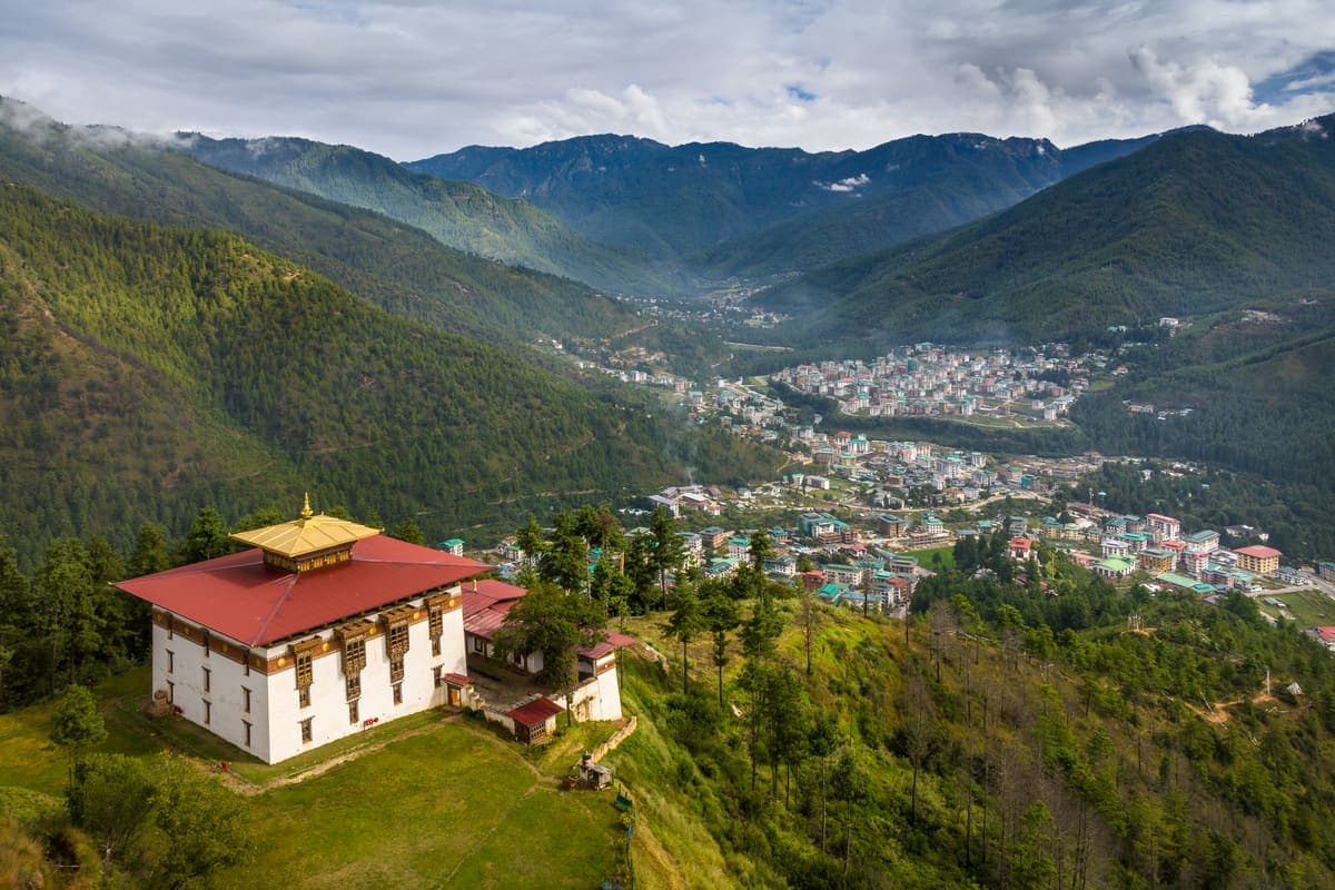 05Place
An old temple on a ridge above central Thimphu, traditionally associated with blessings and auspicious names for newborn children. The location also provides attractive views across the city.
 06Place
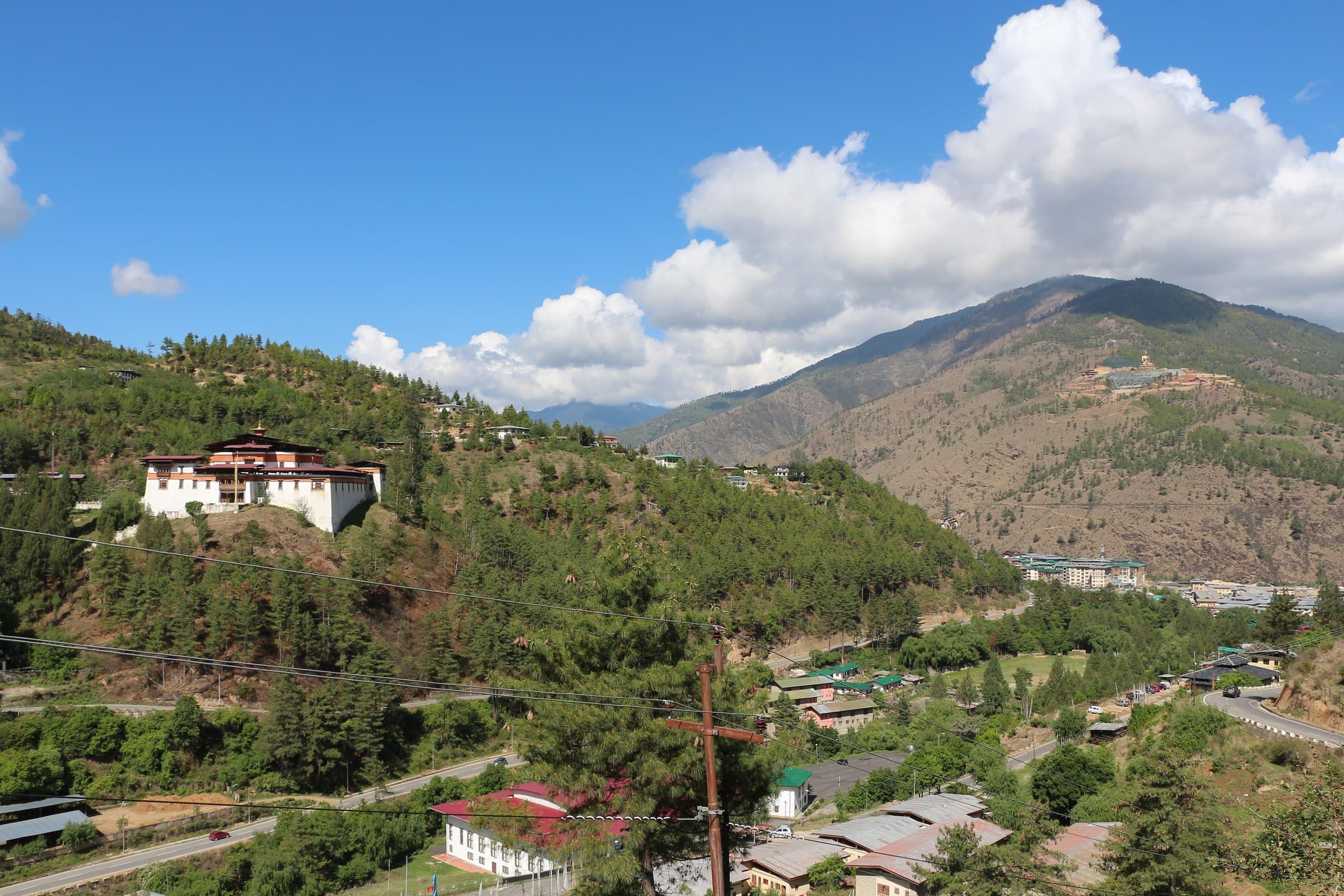
Dating to 1629, Simtokha is regarded as Bhutan's oldest surviving dzong and is closely associated with Zhabdrung Ngawang Namgyal. It is useful for visitors who want deeper context before seeing larger fortress-monasteries elsewhere.
 07Place
A strong introduction to Bhutan's sophisticated weaving traditions, ceremonial textiles, regional techniques and the craftsmanship behind the gho and kira.
 08Place
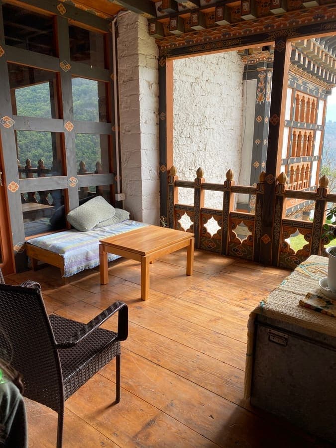
A restored traditional-house museum interpreting domestic architecture, household tools, agriculture, foodways and rural life. It helps urban-based visitors understand the context behind Bhutanese village culture.
 09Place
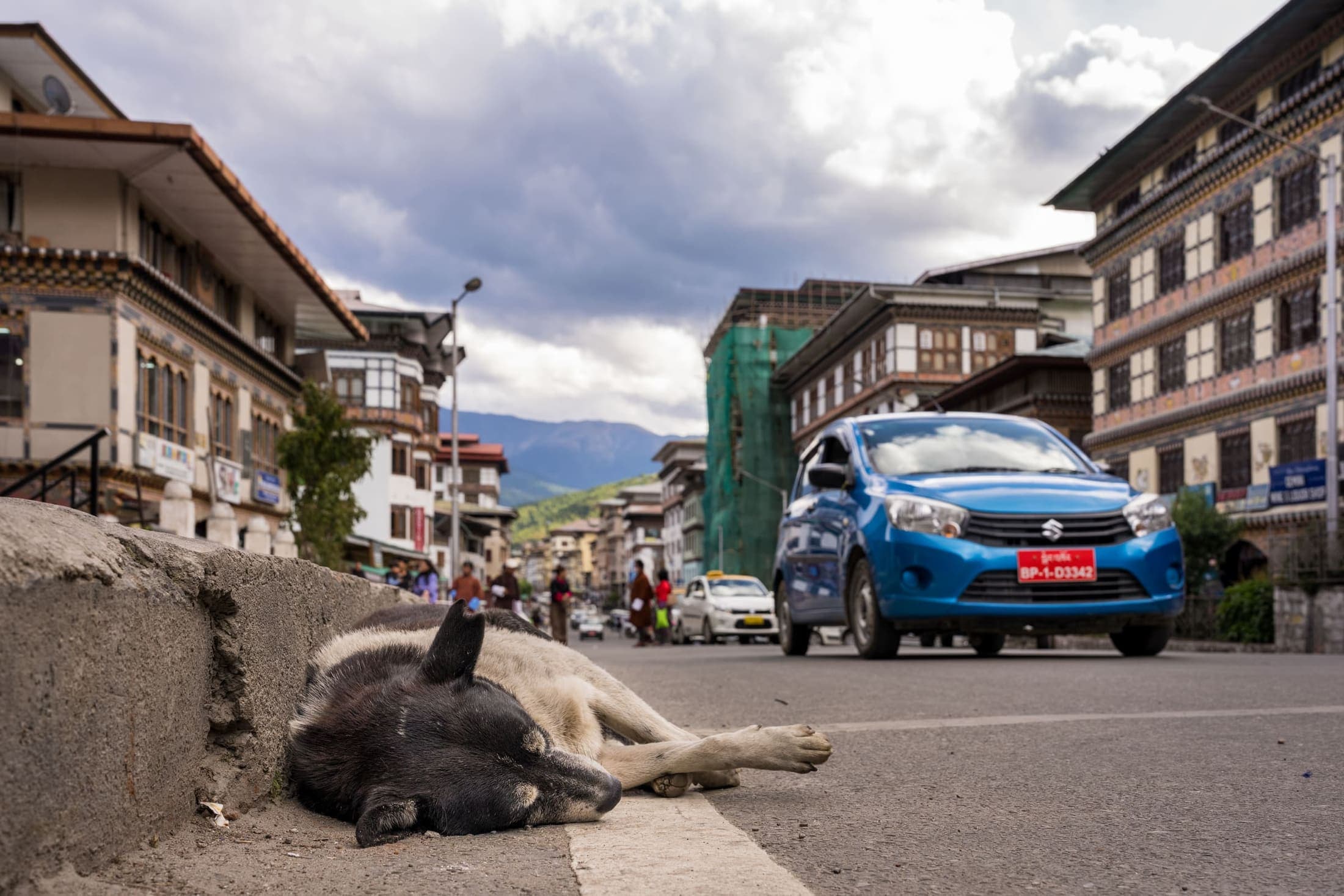
An unusual museum exploring Bhutan's postal history and inventive stamp designs. Personalised photo-stamp services are often available and make this one of Thimphu's most distinctive souvenir experiences.
 10Place
See traditional Deh-sho paper produced from plant fibres and browse locally made notebooks, cards and decorative paper. This works well as a living-craft stop rather than a conventional museum.
 11Place
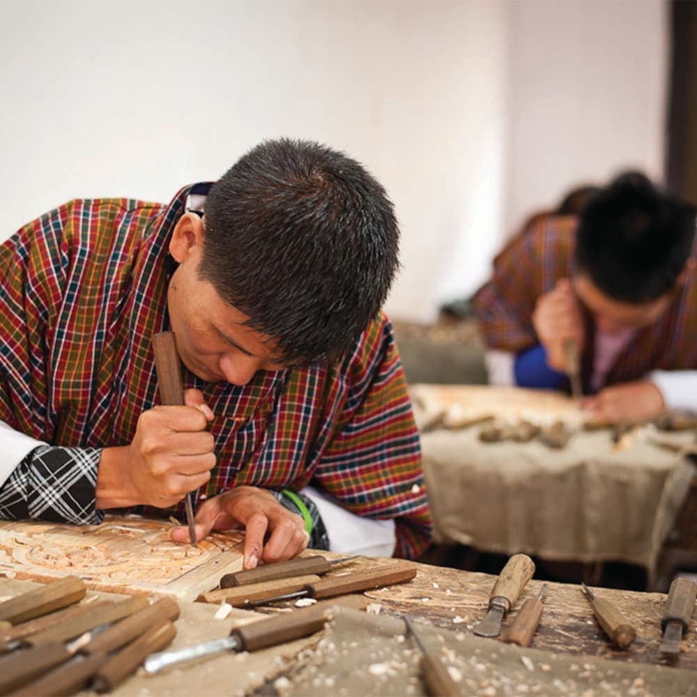
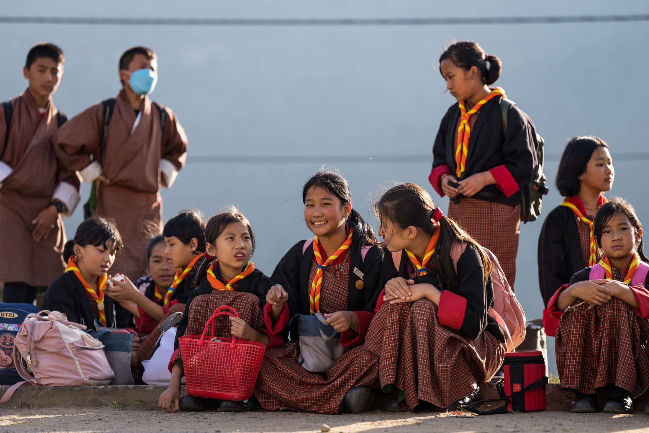
A working institute where students train in Bhutan's traditional arts including painting, carving, sculpture, embroidery, tailoring and weaving.
 12Place
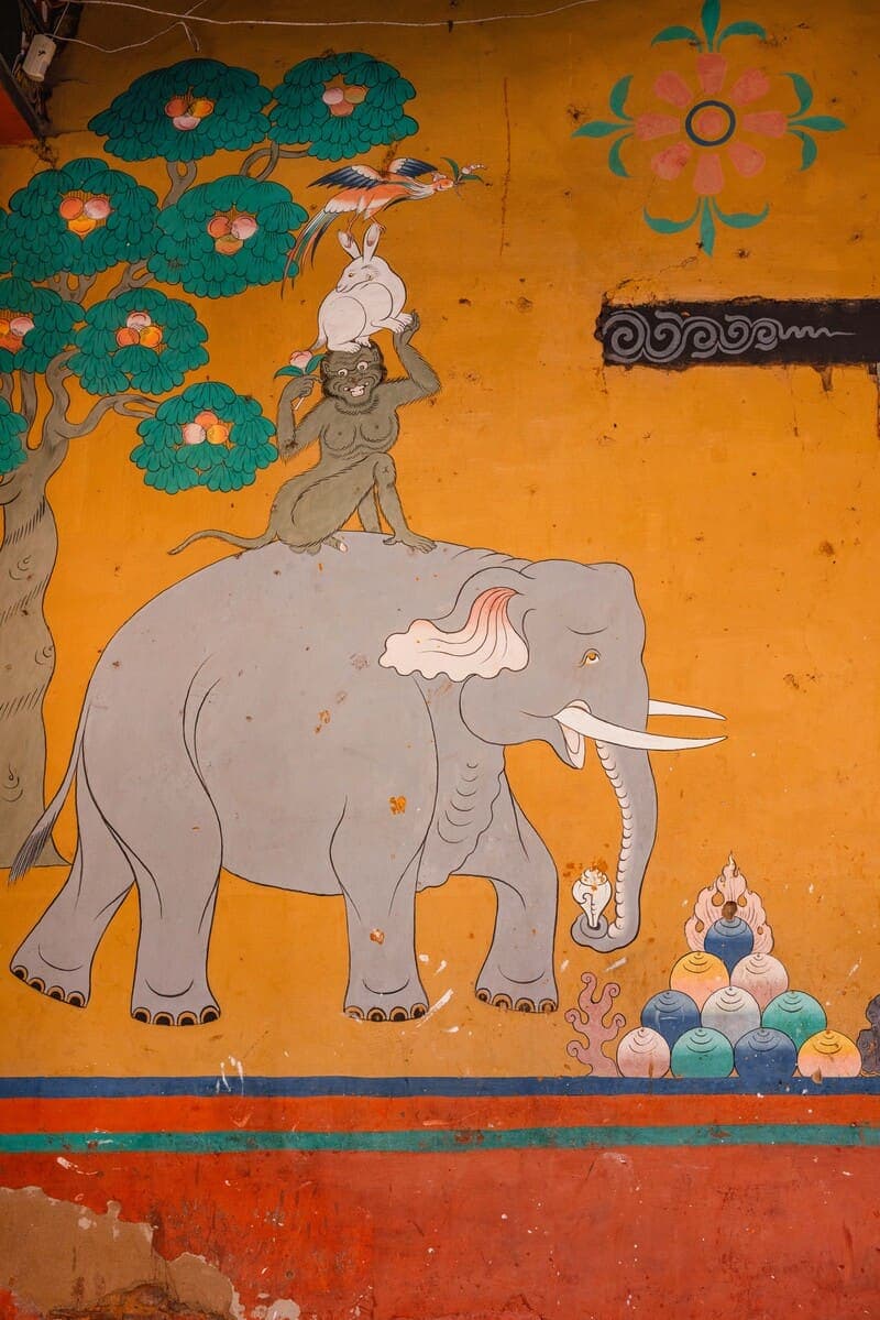
A community-oriented art school north of the city where traditional craft education can be experienced with advance arrangement.
 13Place
A useful counterpoint to heritage sightseeing, showing how Bhutanese artists engage with modern identity, social change and traditional visual language.
 14Place
A national repository for Buddhist texts, manuscripts, woodblock traditions, books, photographs and Bhutan's documentary heritage.
 15Place
A curated visitor experience introducing architecture, archery, food, crafts and cultural traditions in an accessible format.
 16Place
A central pedestrian square surrounded by cafes, shops, restaurants and everyday city life. It is particularly useful for free time in the late afternoon or evening.
 17Place
A long row of traditional-style stalls selling textiles, wooden crafts, jewellery, artwork and souvenirs.
 18Place
A lively riverside market area for vegetables, chillies, cheese, grains, fruit and other ingredients used in Bhutanese cooking.
 19Place
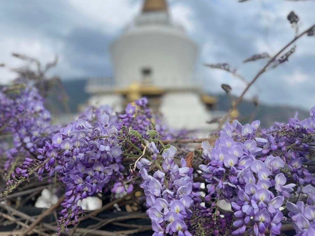
A chance to see Bhutan's national sport in a real competition or practice environment when archery is taking place.
 20Place
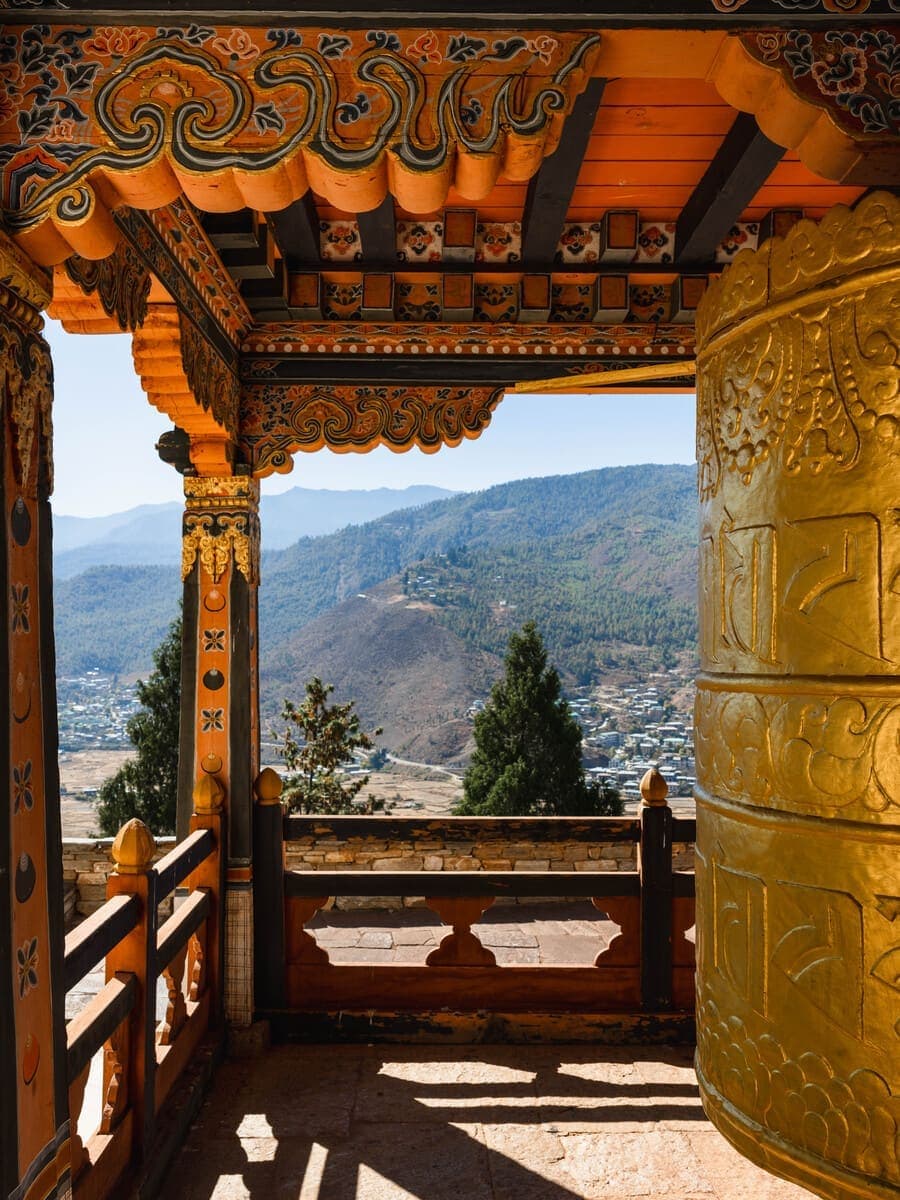
A relaxed riverside green space for walking, family time or a break between structured sightseeing stops.
 21Place
A quieter monastic complex associated with Bhutanese astrology, calendar traditions and religious scholarship.
 22Place
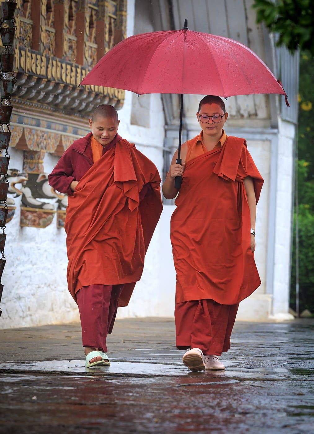
An active nunnery above the city offering a respectful introduction to women's monastic life.
 23Place
A historic monastic school north of Thimphu, best suited to visitors interested in Buddhist education and religious institutions.
 24Place
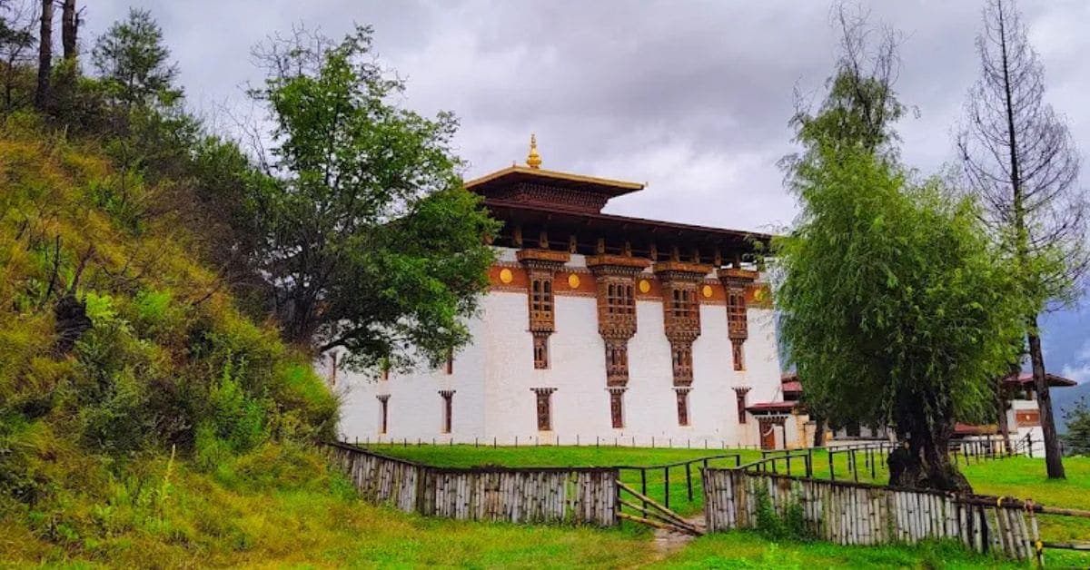
A convenient ridge walk above Thimphu through forest to Wangditse Lhakhang, with views toward the valley and Tashichho Dzong.
 25Place
A short cross-valley trail that turns the Buddha Dordenma visit into a walking experience rather than a simple drive-up stop.
 26Place
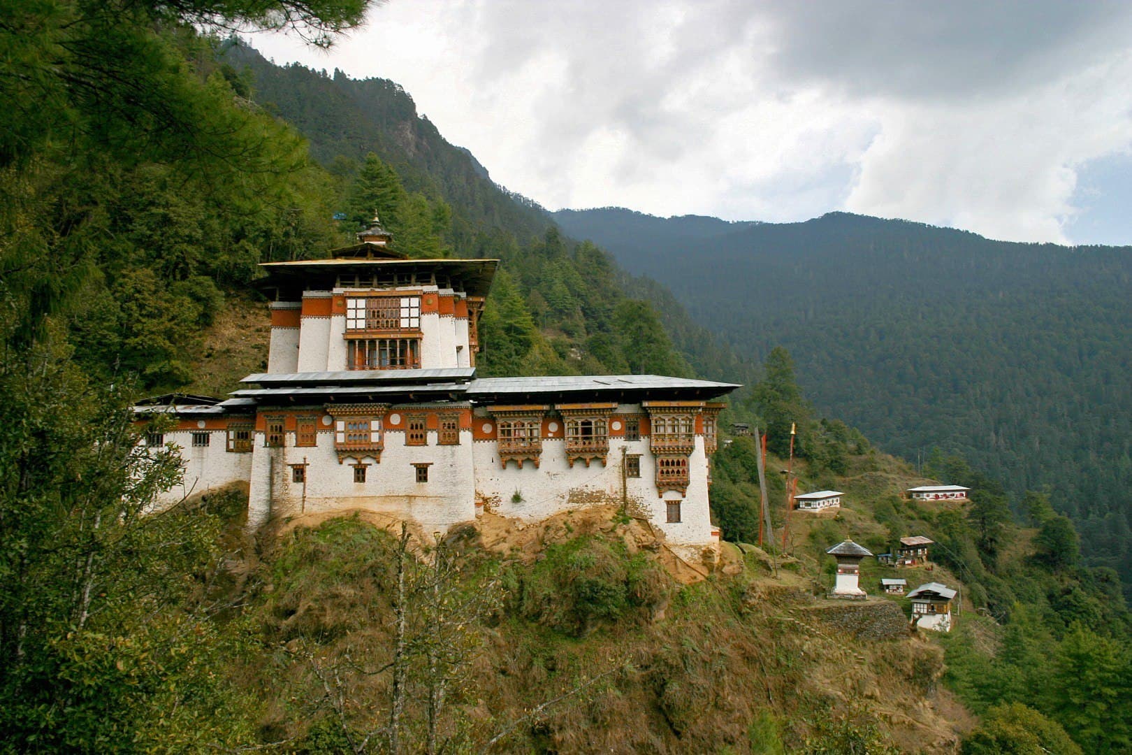
A steady forest climb to one of the important monastic centres north of Thimphu, combining exercise, nature and religious atmosphere.
 27Place
A rewarding climb near Dodena to a monastery established in the early 17th century by Zhabdrung Ngawang Namgyal.
 28Place
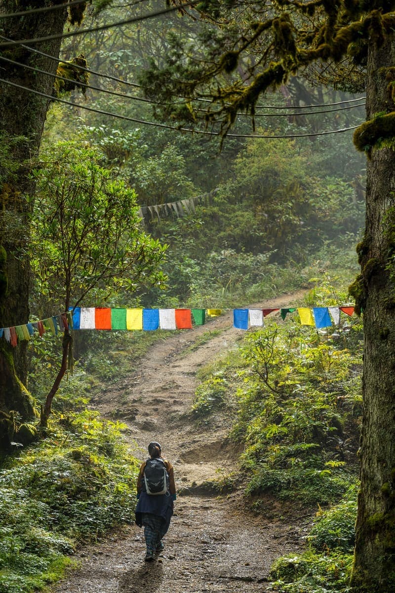
A quieter forest hike promoted locally as an off-the-beaten-path option above the capital.
 29Place
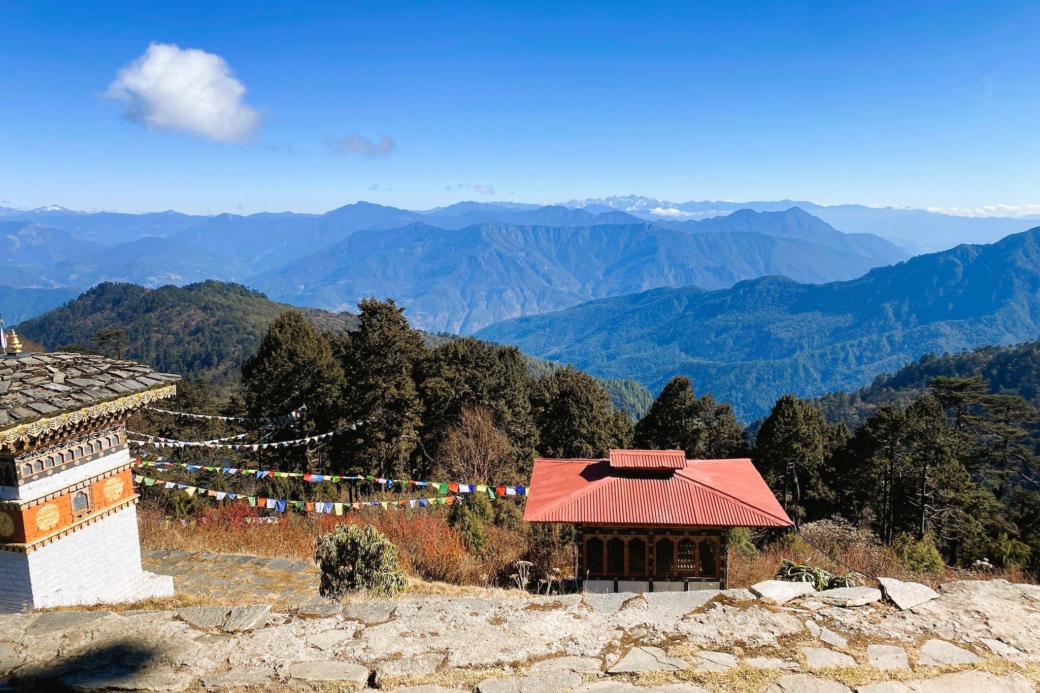
A substantial climb to a monastic landscape around 3,600 metres, with broad views above the capital.
 30Place
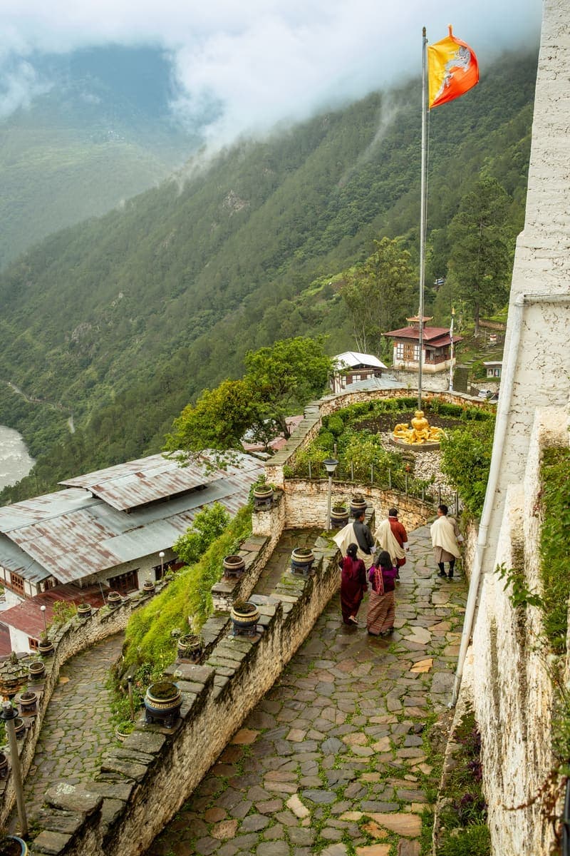
A quieter spiritual hike through forest to an active monastic community above Thimphu.
 31Place
A high pass between Thimphu and Punakha with 108 chortens, prayer flags and, on clear days, expansive Himalayan panoramas.
 32Place
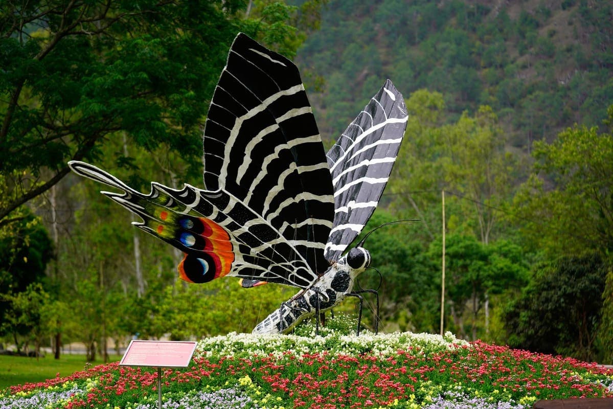
A forest and botanical stop near Dochula, especially attractive for birding, short walks and seasonal rhododendrons.
Spring and autumn are excellent for comfortable sightseeing and hiking. Winter often brings clearer mountain views and crisp evenings. Summer is lush and atmospheric but can bring rain, cloud and occasional road disruption.
Two nights covers the major highlights; three nights allows a monastery hike and slower city experiences.
Central Thimphu is walkable, but major sights are spread across hillsides and the valley, so a vehicle is useful.
Bhutan's Department of Tourism states that visitors are required to be accompanied by a certified guide, and guides are required for monument and dzong entry.
Sangaygang-Wangditse is gentle; Tango or Cheri provide a stronger half-day experience; Phajoding is significantly harder.
Sacred cliffs, ancient temples, fortress architecture and Bhutan's most iconic hike
Paro combines Bhutan's international gateway with one of the country's most culturally significant valleys. Tiger's Nest is the headline attraction, but Paro also supports several days of travel through ancient temples, dzongs, museum collections, villages, farmhouses, high mountain passes and lesser-known sacred hikes.
Each experience includes imagery, location, tags, recommended time, difficulty, priority, summary, and visitor notes for practical route planning.
 01Place
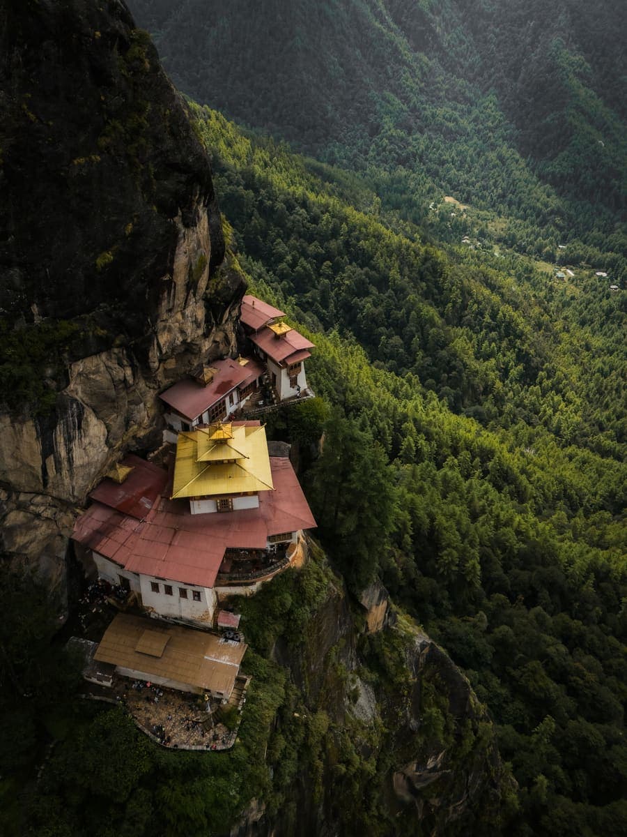
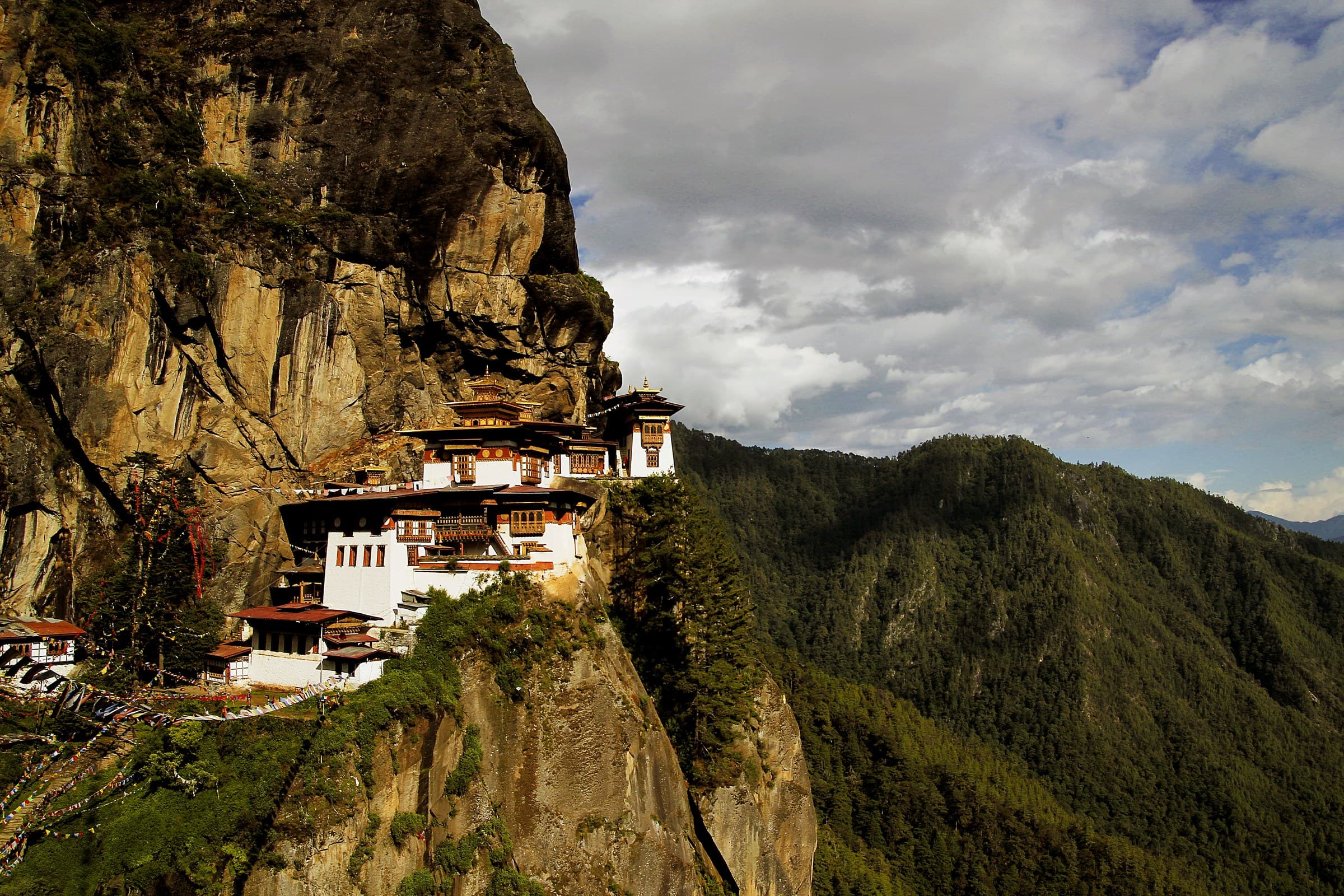
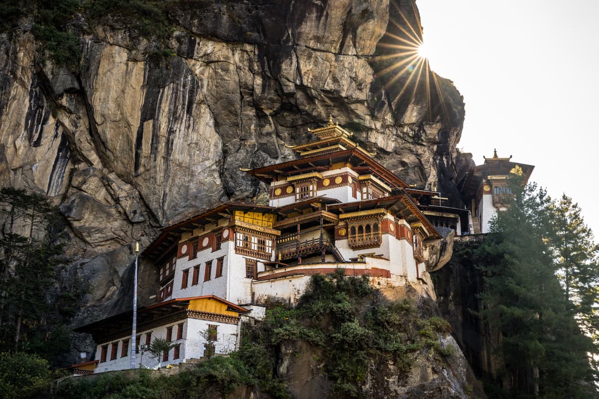
Bhutan's most recognisable sacred site, dramatically built into a cliff above the upper Paro Valley. The hike itself is part of the experience, climbing through forest to classic viewpoints before the final approach to the monastery.
 02Place
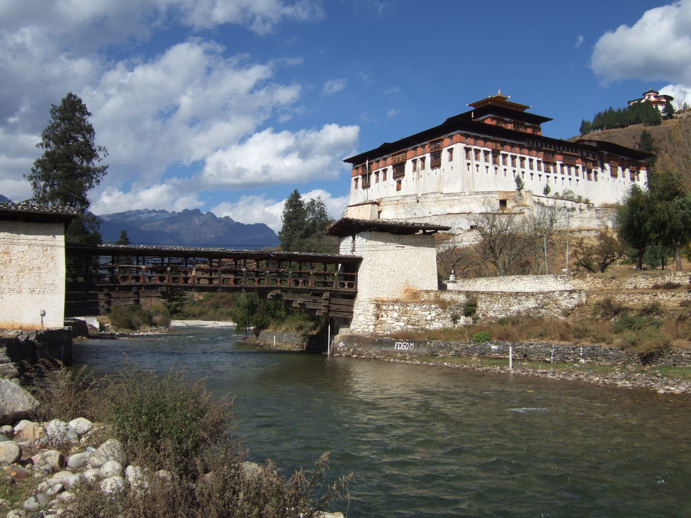
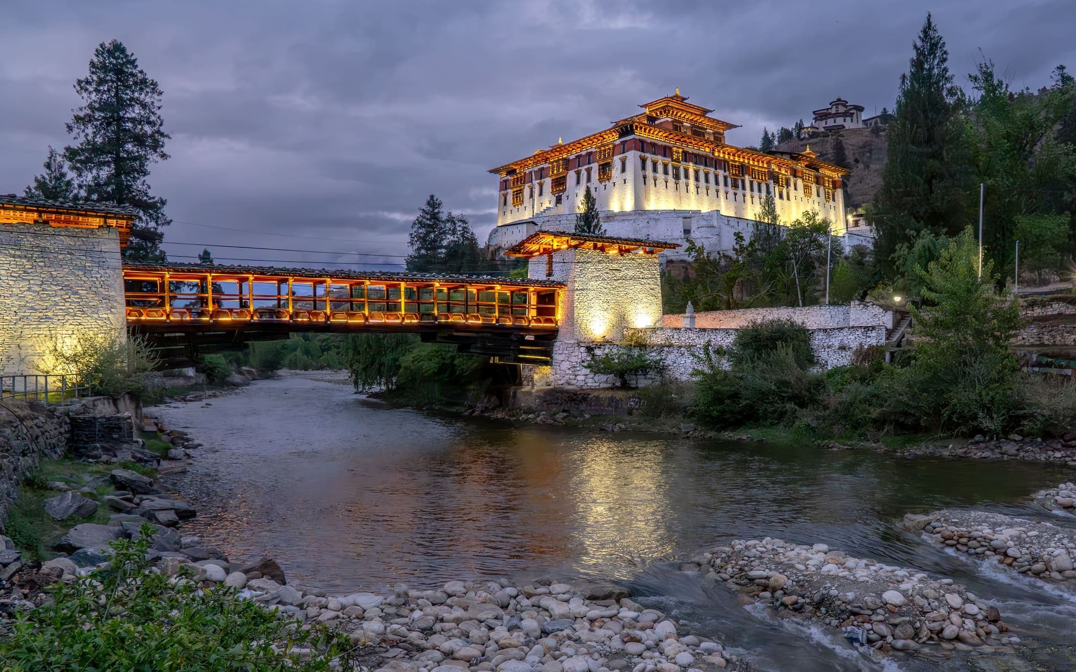
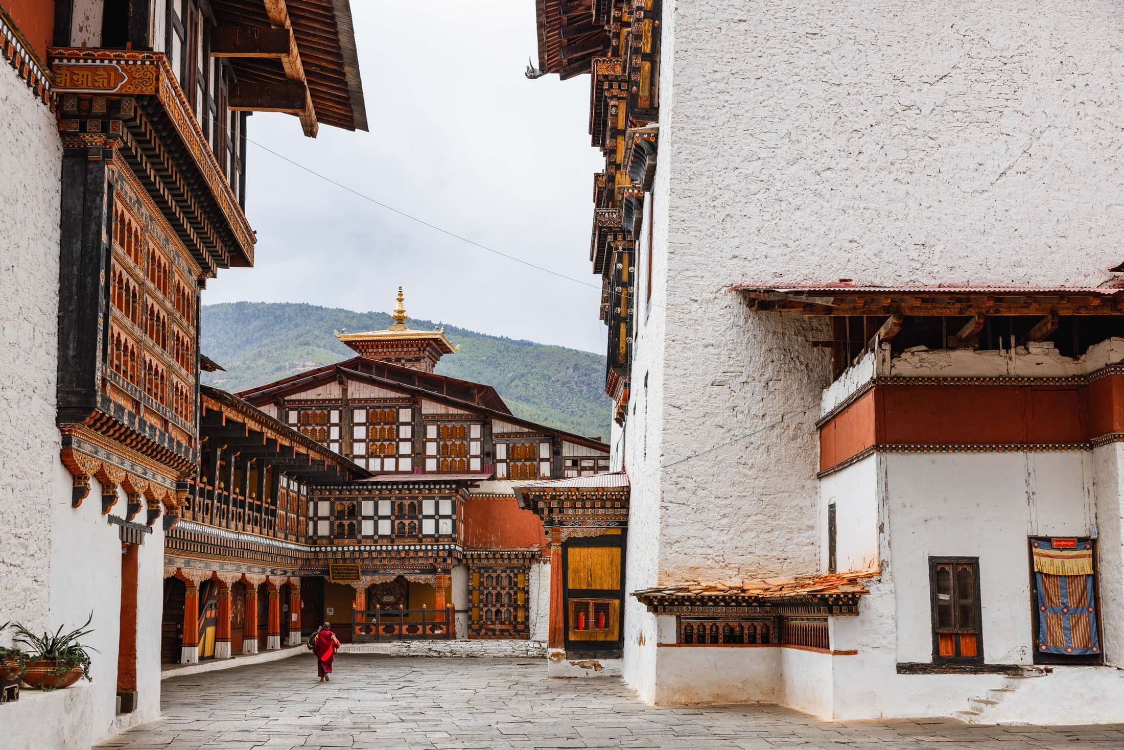
A major fortress-monastery above the Paro Chhu and one of Bhutan's finest dzong ensembles. Its courtyards, timberwork and dramatic approach via the river create strong historical context.
 03Place
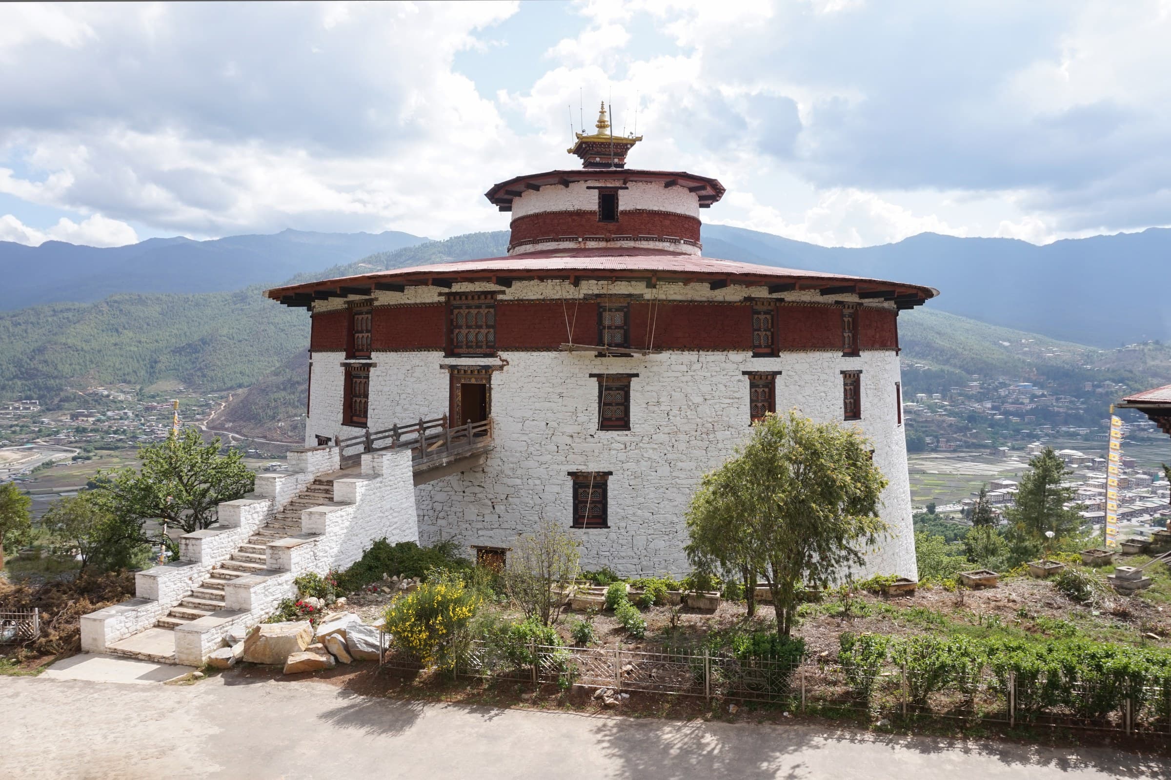
Bhutan's national museum, located above Rinpung Dzong in the historic watchtower complex. Collections cover religion, history, art, natural heritage and material culture.
 04Place
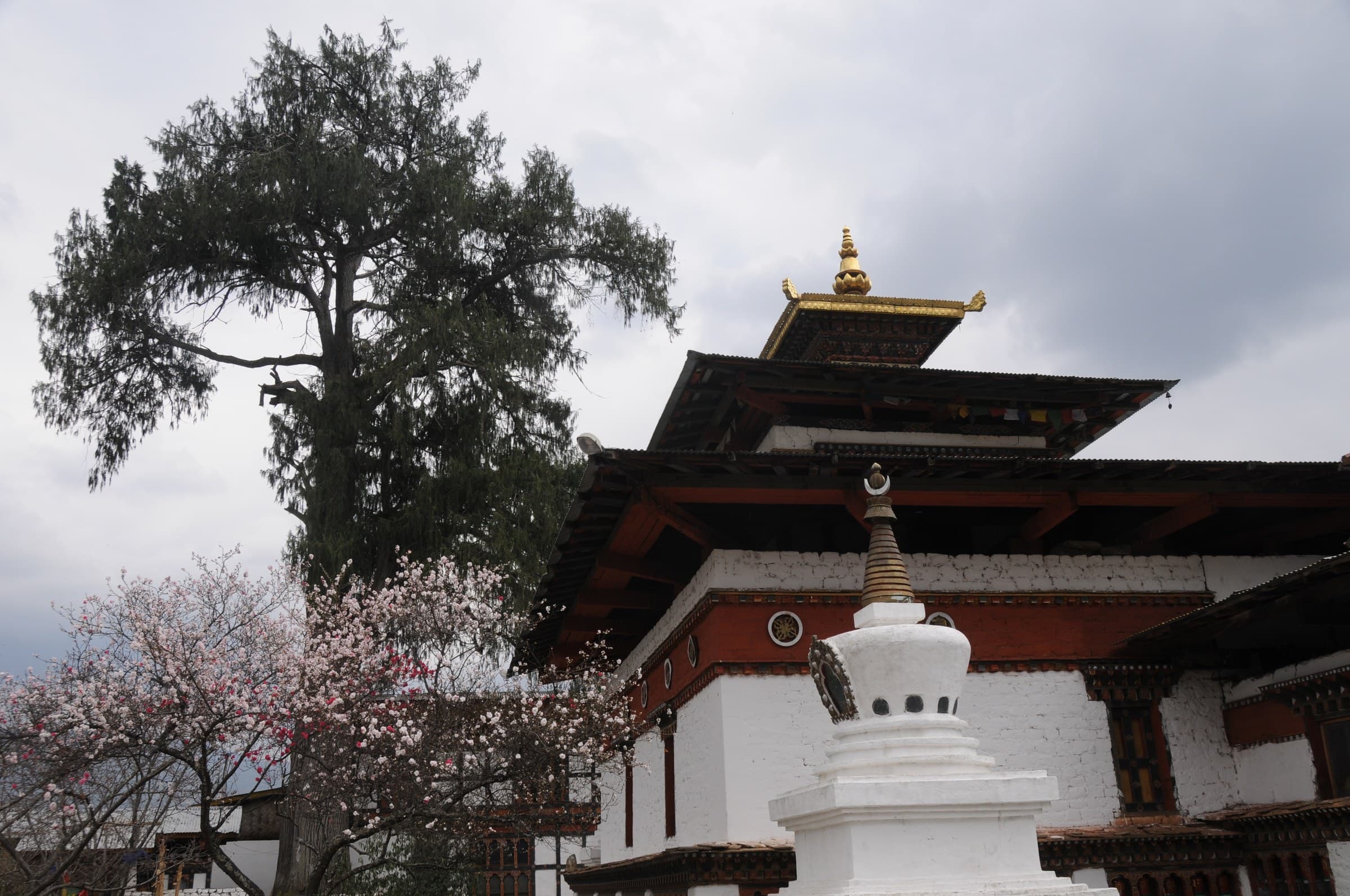
One of Bhutan's oldest and most revered temples, traditionally linked to the 7th-century Tibetan king Songtsen Gampo. Its age and living religious importance make it essential for understanding early Buddhism in Bhutan.
 05Place
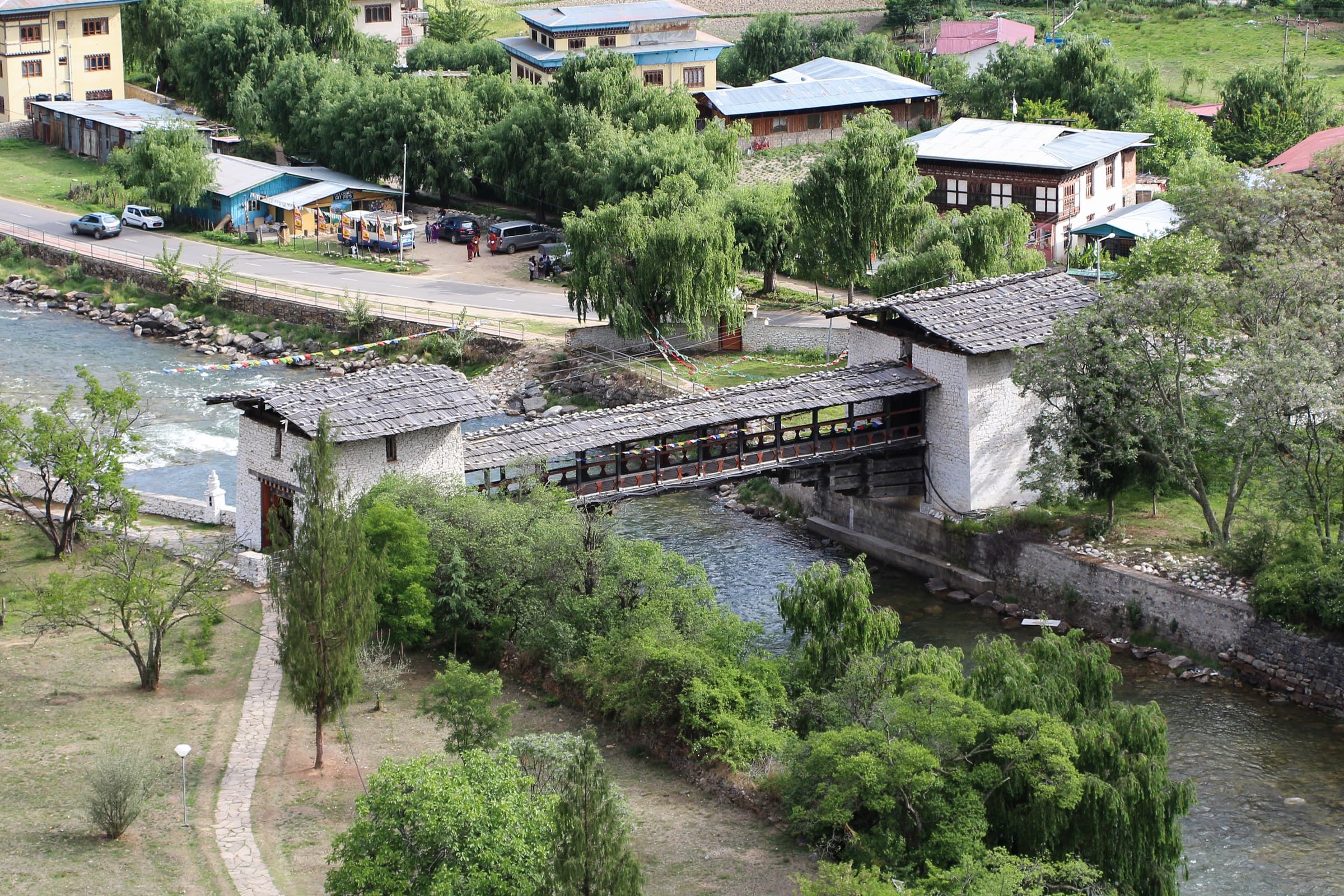
The traditional covered bridge below Rinpung Dzong, creating one of Paro's most photogenic approaches and an excellent transition between the town and fortress.
 06Place
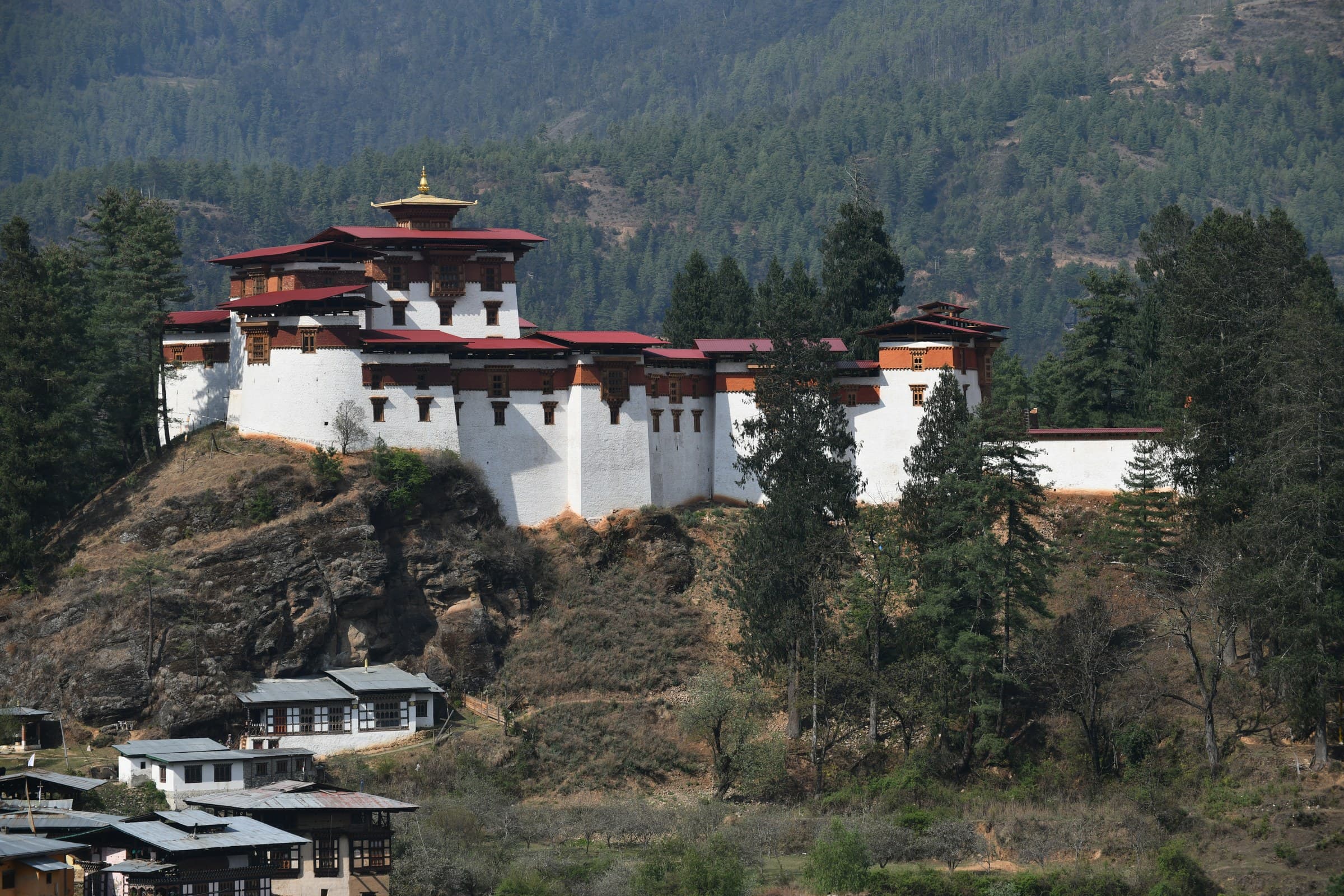
A strategic upper-valley fortress restored after the 1951 fire, with strong historic associations and mountain scenery.
 07Place
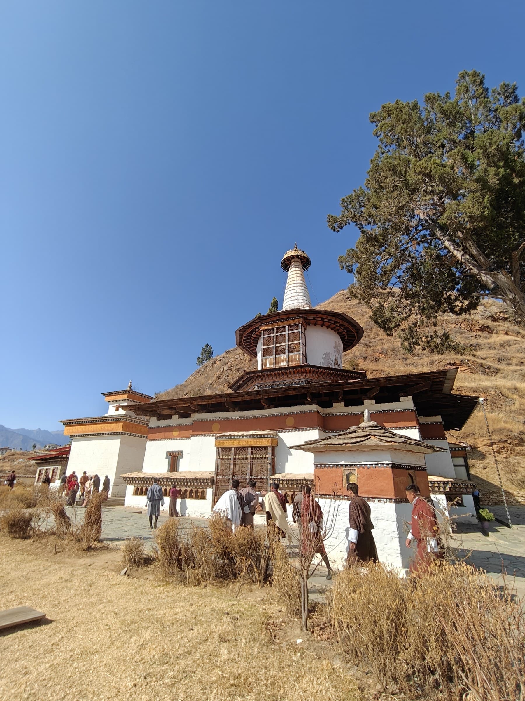
A distinctive chorten-shaped temple linked to Thangtong Gyalpo and known for important religious murals.
 08Place
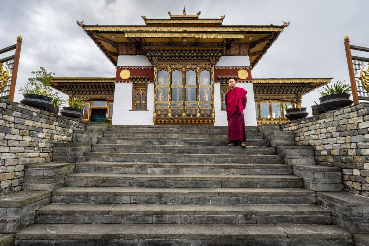
A historic temple near Paro town that adds depth for travellers spending more than one sightseeing day in the valley.
 09Place
A smaller sacred site near the Rinpung Dzong area, suited to visitors exploring Paro's less prominent religious heritage.
 10Place
A graceful private palace compound inspired by Zangto Pelri, the celestial paradise associated with Guru Rinpoche.
 11Place
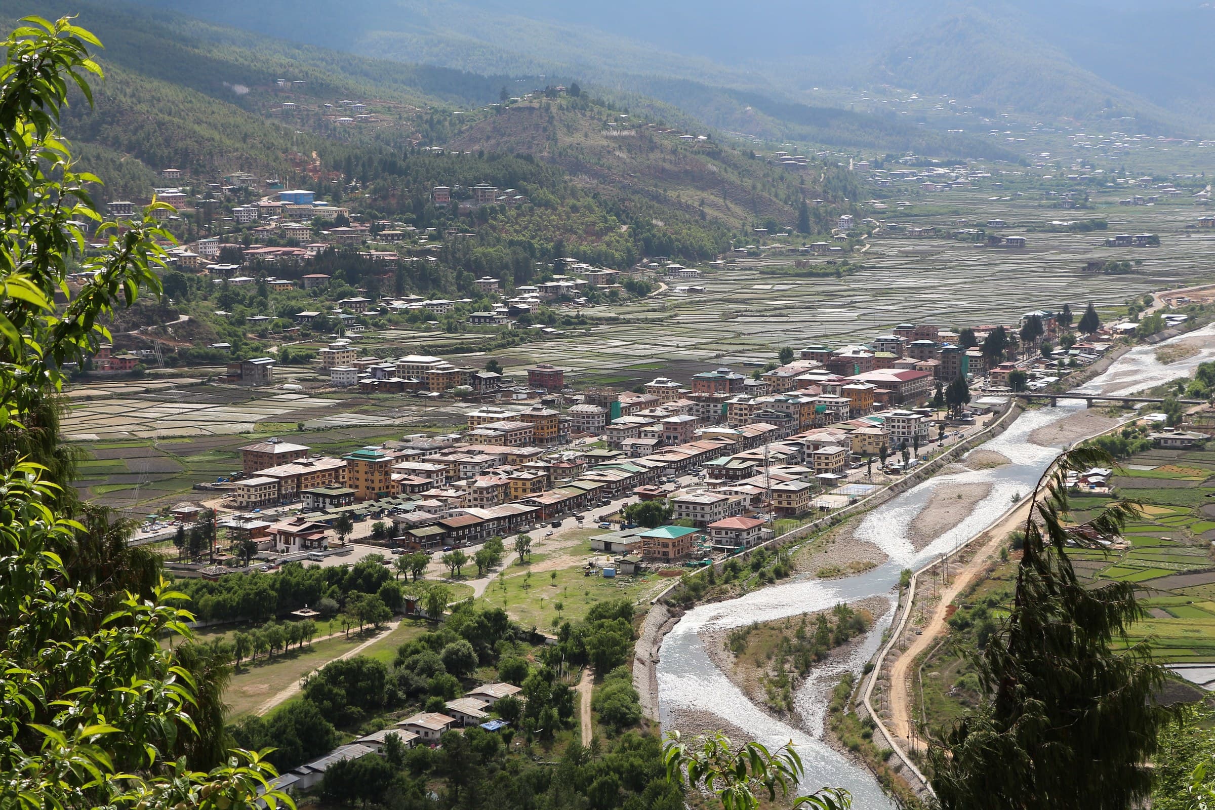
A compact walking area of cafes, restaurants, handicraft shops and traditional-style buildings, especially pleasant in the late afternoon or evening.
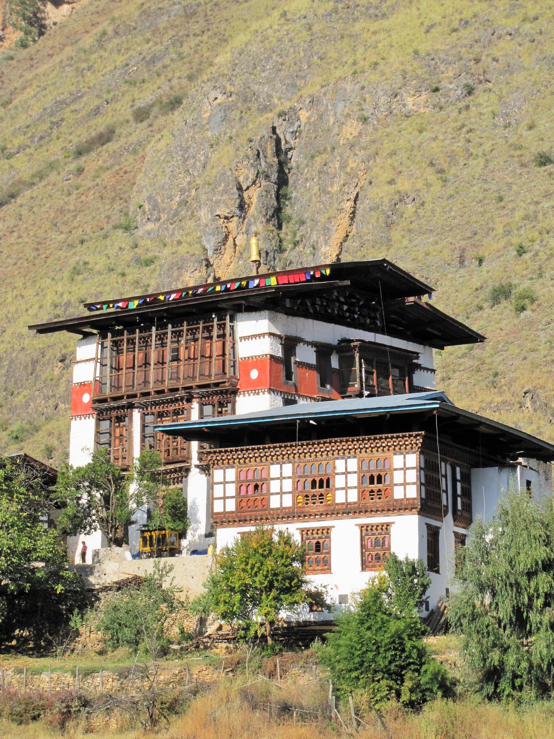 12Place
A chance to understand rural household life through architecture, local food, tea, farming routines and host interaction.
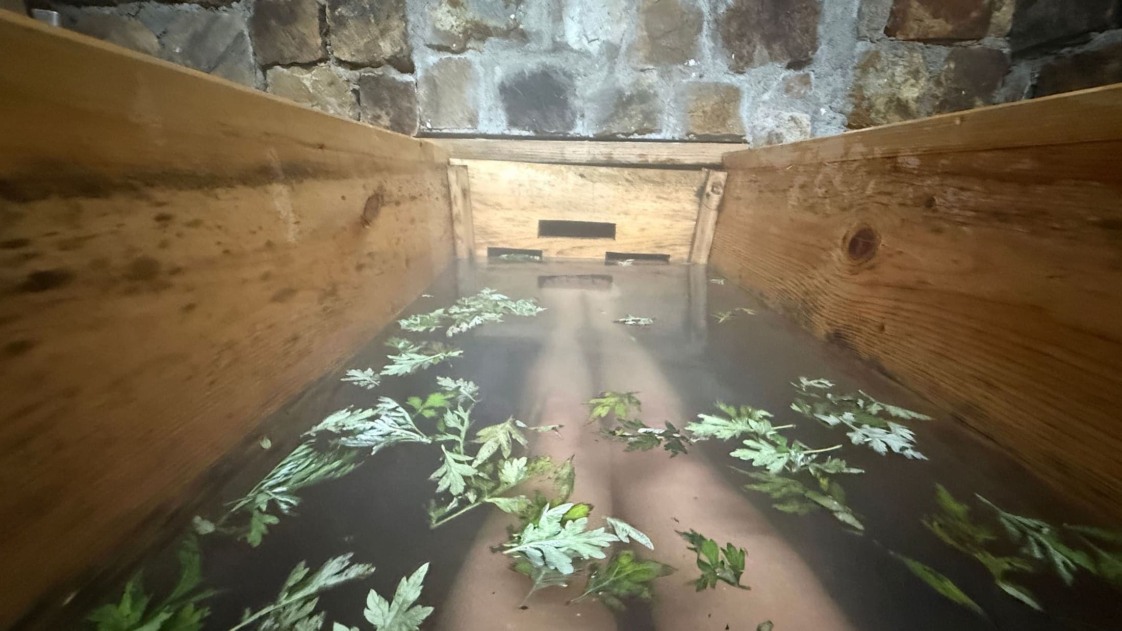 13Place
A Bhutanese bathing tradition using heated river stones, often enjoyed after the Tiger's Nest hike.
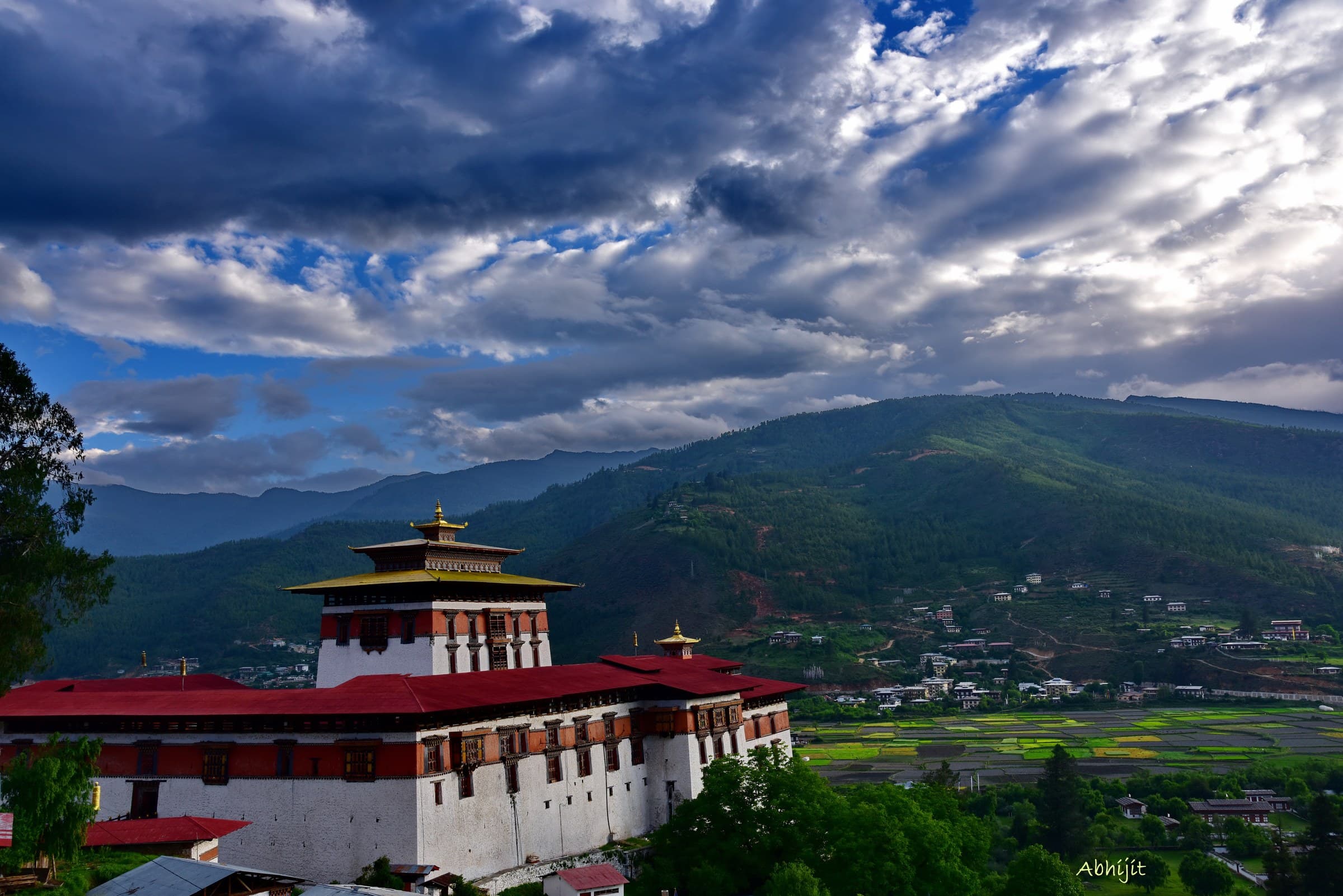 14Place
A slow walk among farmhouses, fields, irrigation channels and village lanes across the broad Paro Valley.
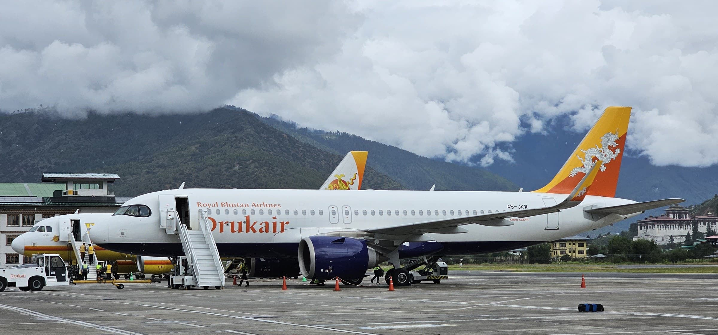 15Place
Elevated roadside views over Bhutan's international airport, the Paro Chhu and surrounding farmland.
 16Place
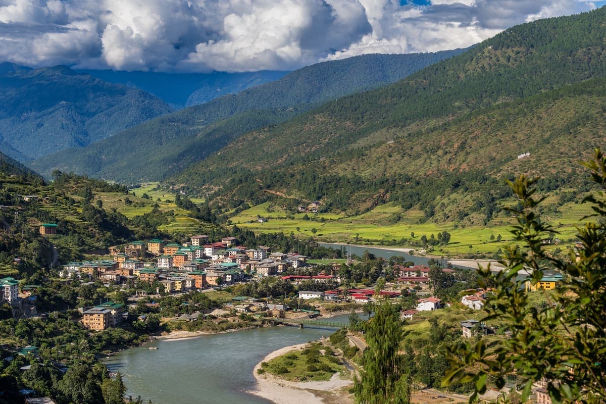
A manageable hillside walk with broad views over Paro, suitable for travellers wanting activity without a full-day climb.
 17Place
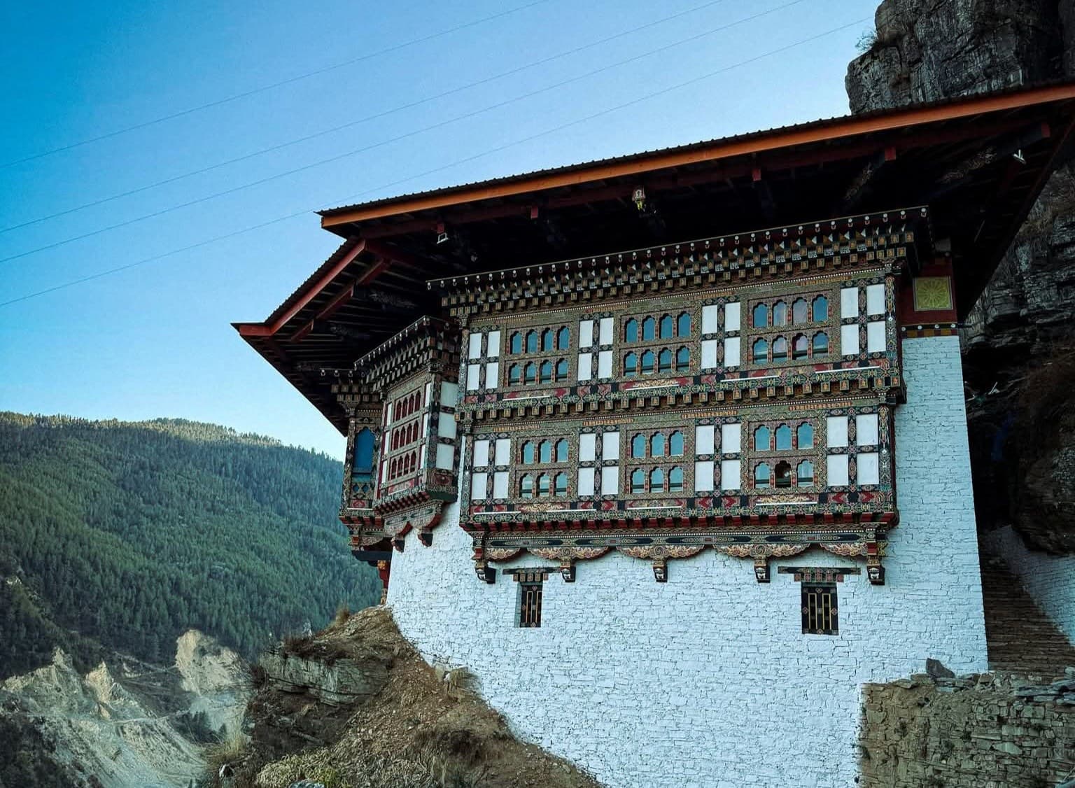
A dramatic cliffside religious complex above the Bondey area, with a long sacred history and far fewer visitors than Tiger's Nest.
 18Place
A sacred hillside area associated with Guru Rinpoche, meditation caves and religious rock formations.
 19Place
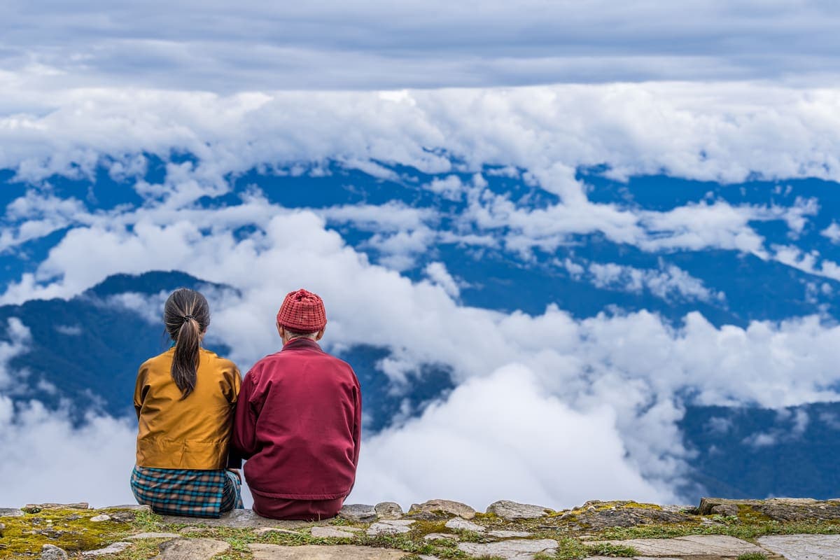
A high mountain nunnery near the Chele La area, combining forest, prayer flags and women's monastic heritage.
 20Place
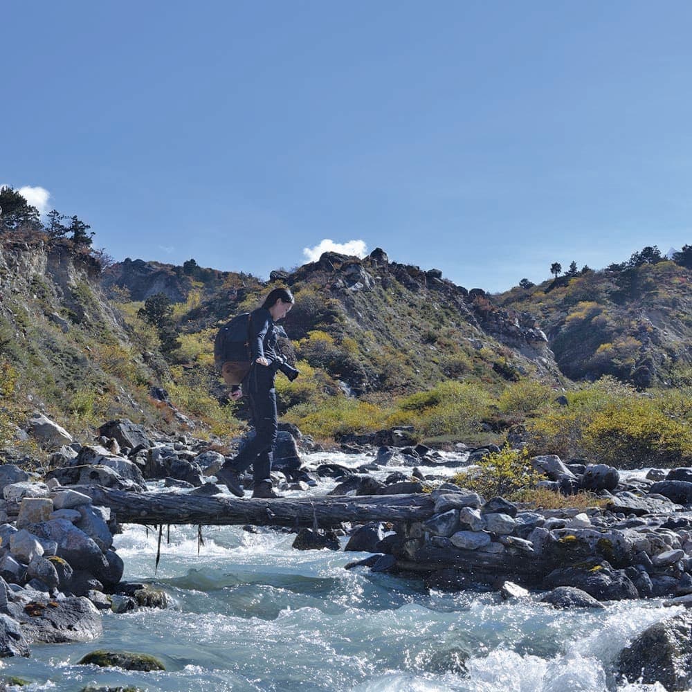
A compact high-altitude trekking experience above Tiger's Nest, often descending through the wider Taktsang sacred landscape.
 21Place
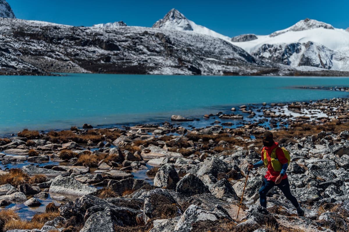
A demanding sacred hike known for caves, pilgrimage landmarks and the revered floating-statue tradition.
 22Place
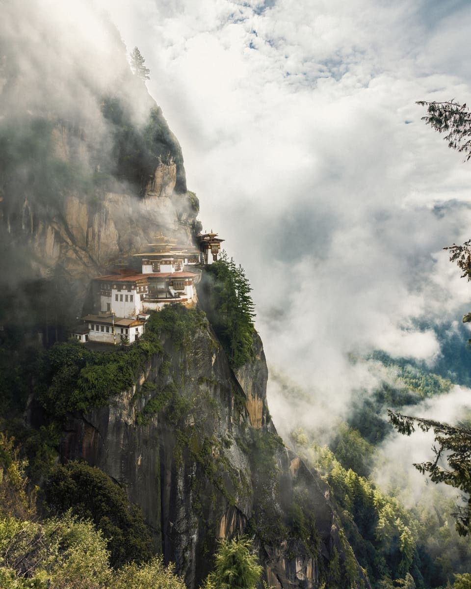
One of the lesser-visited sacred sites within the wider Taktsang mountain landscape, best for pilgrims and repeat visitors.
 23Place
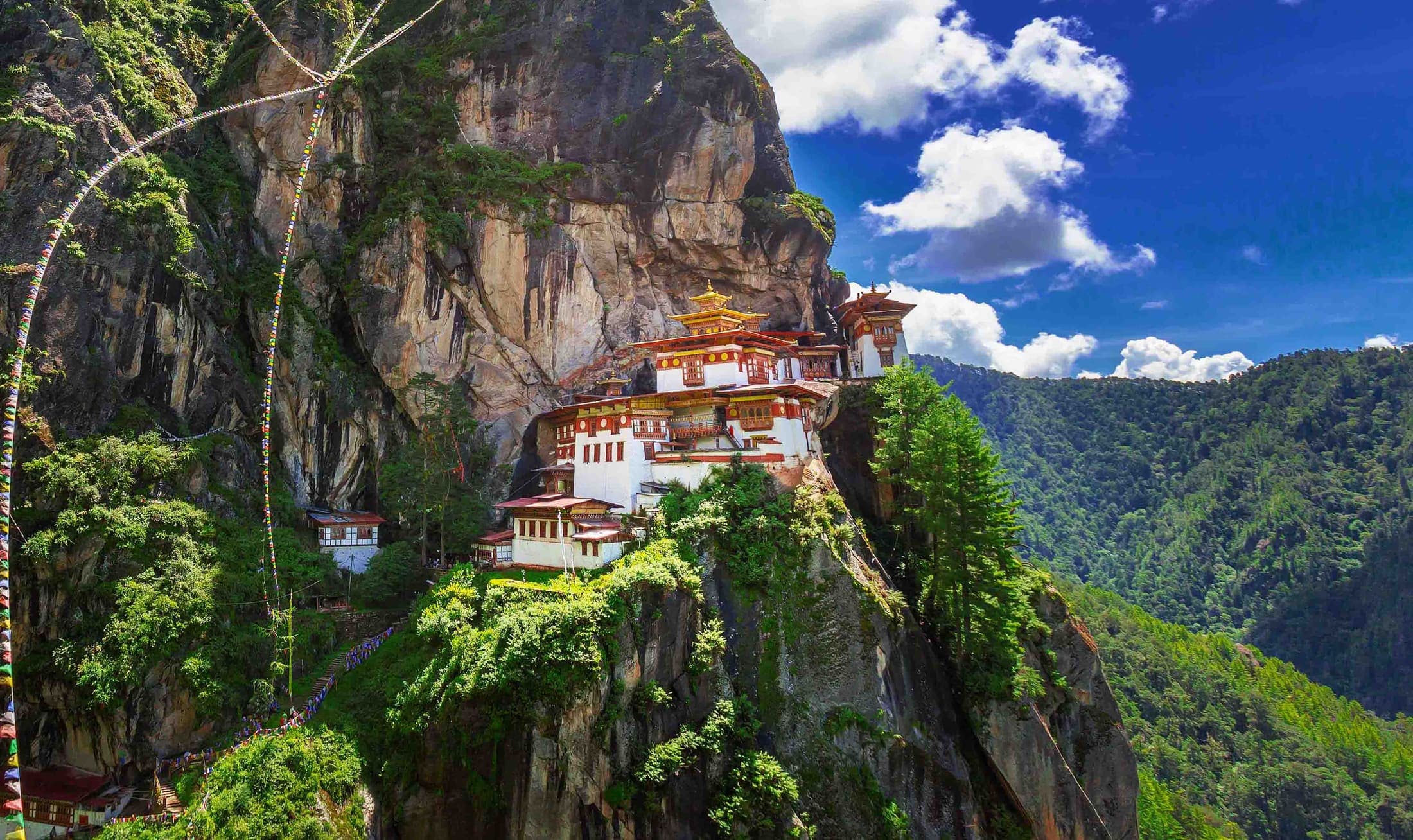
A lesser-visited monastic site within the broader Taktsang pilgrimage landscape.
 24Place
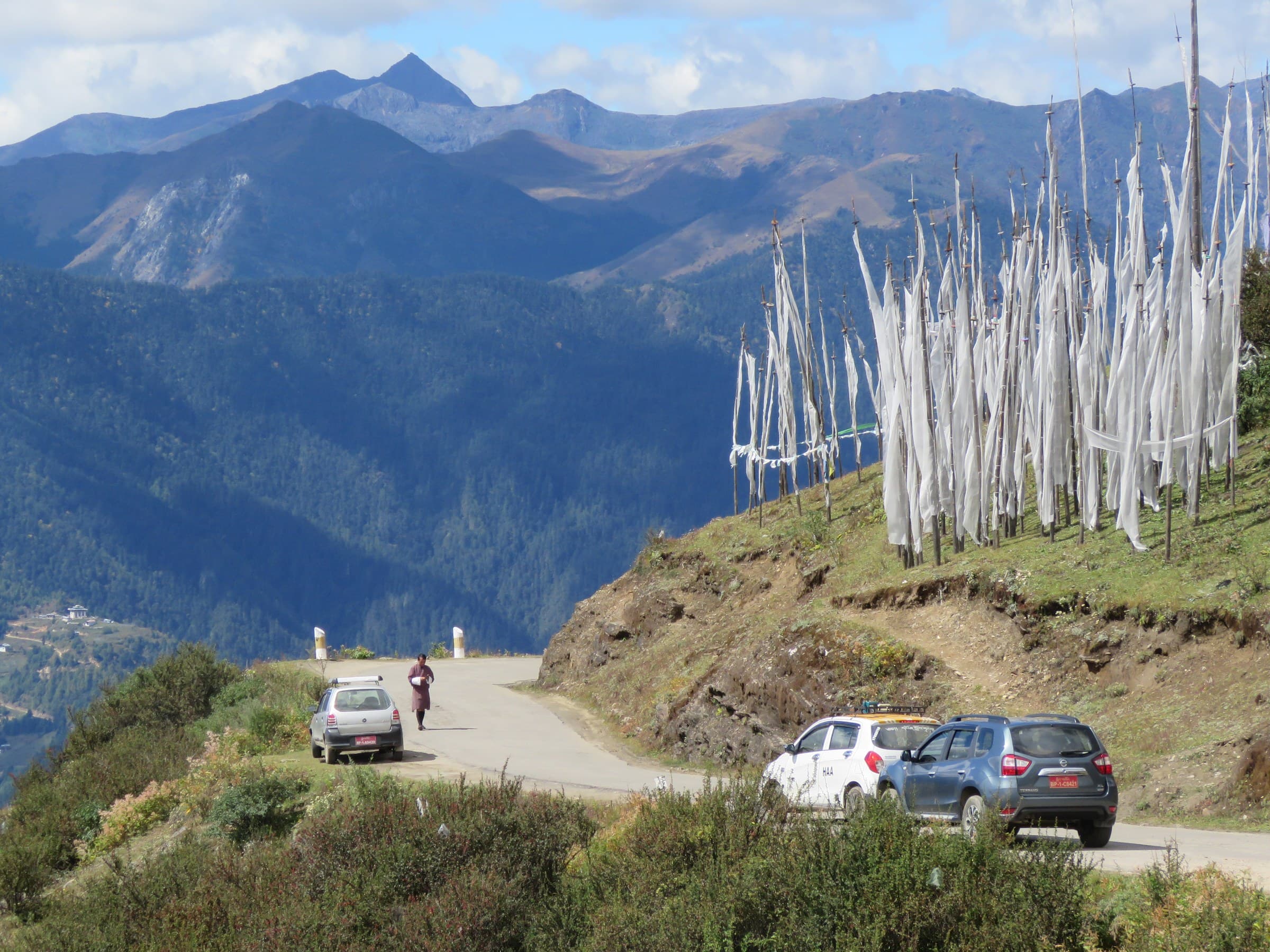
A high road pass near 4,000 metres with prayer flags, alpine scenery and possible Himalayan views.
 25Place
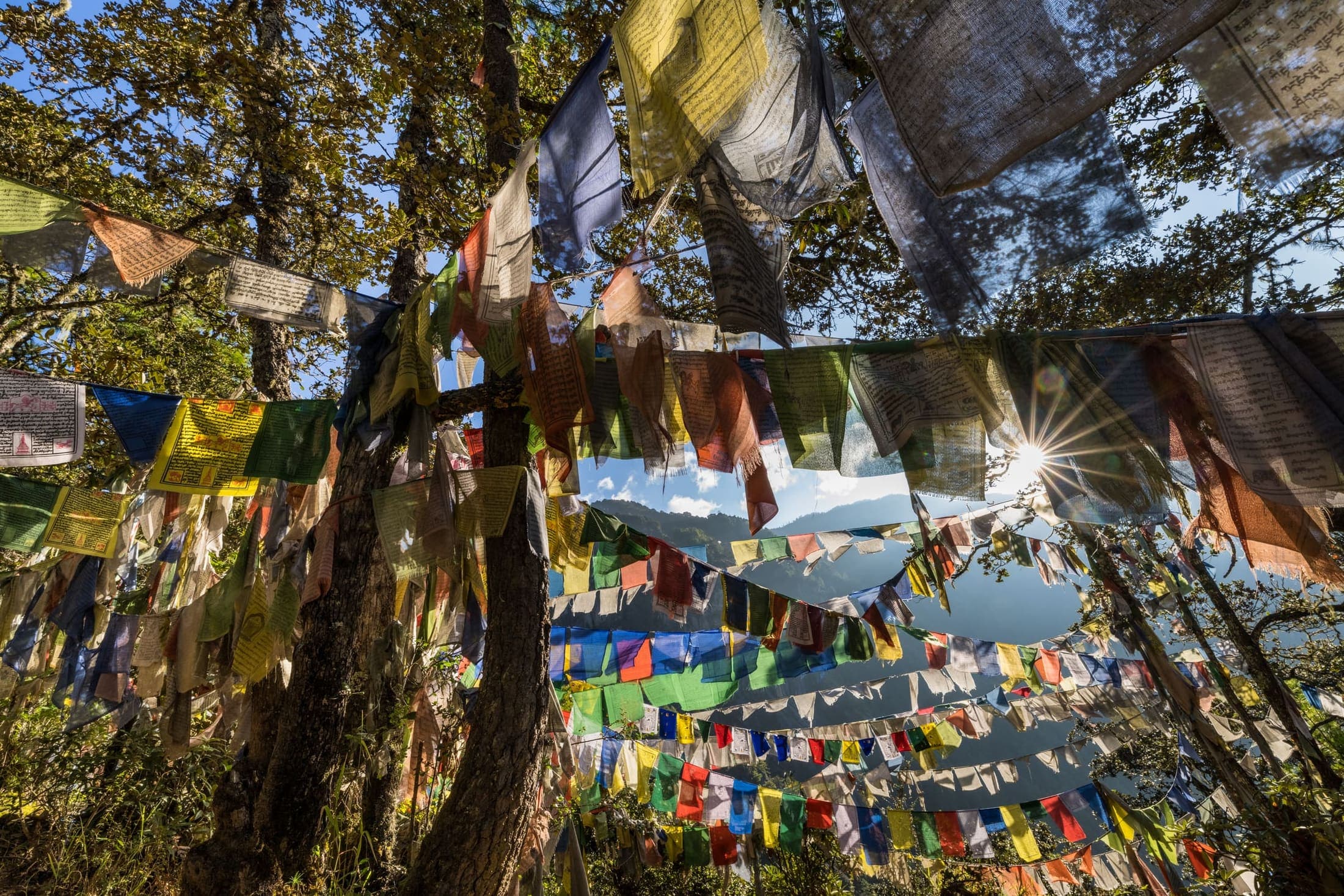
A scenic high-altitude walk that turns a Chele La drive into a fuller nature-and-culture experience.
 26Place
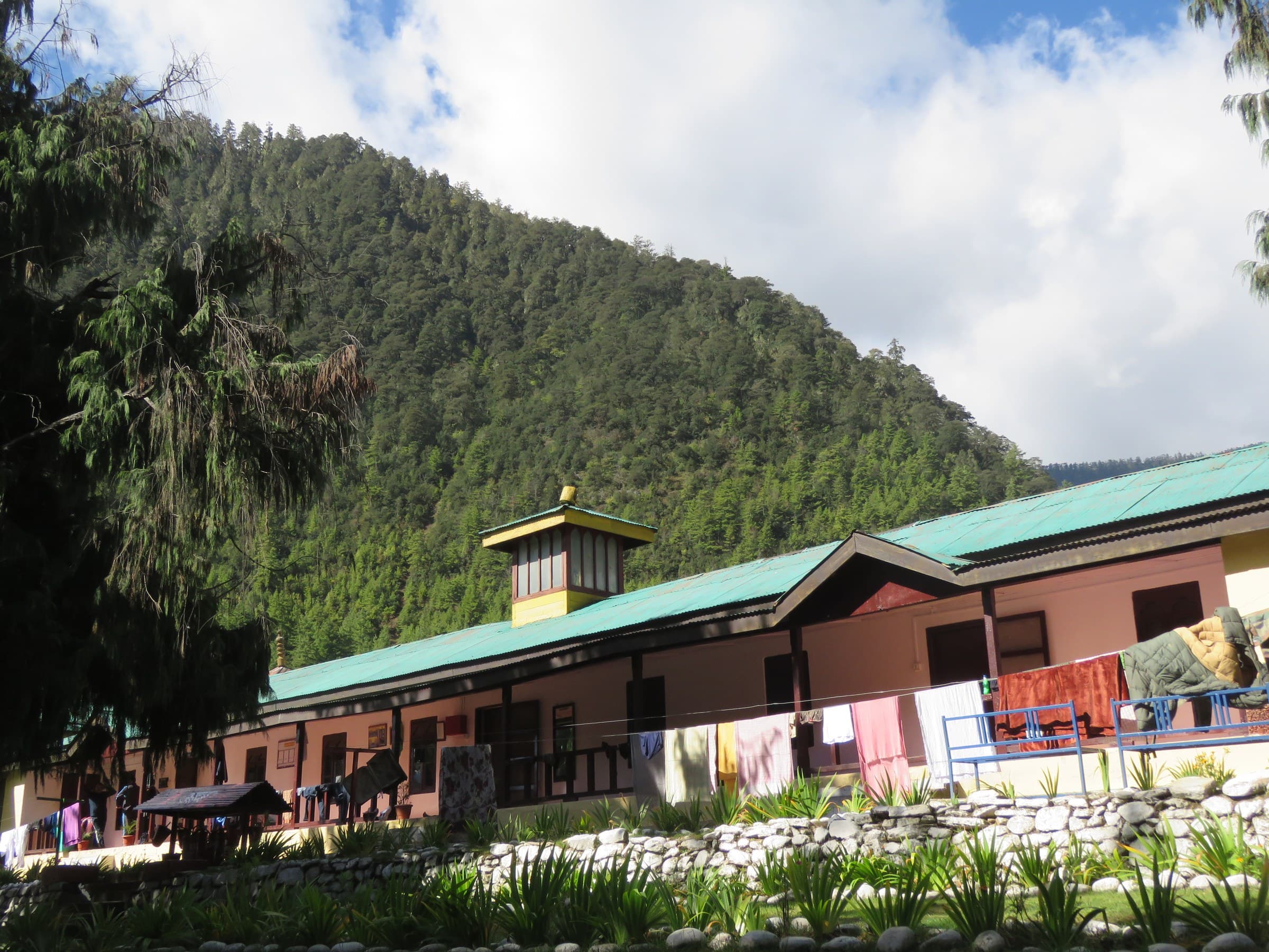
Cross Chele La into Haa for a full-day contrast to Paro's busier sightseeing circuit.
 27Place
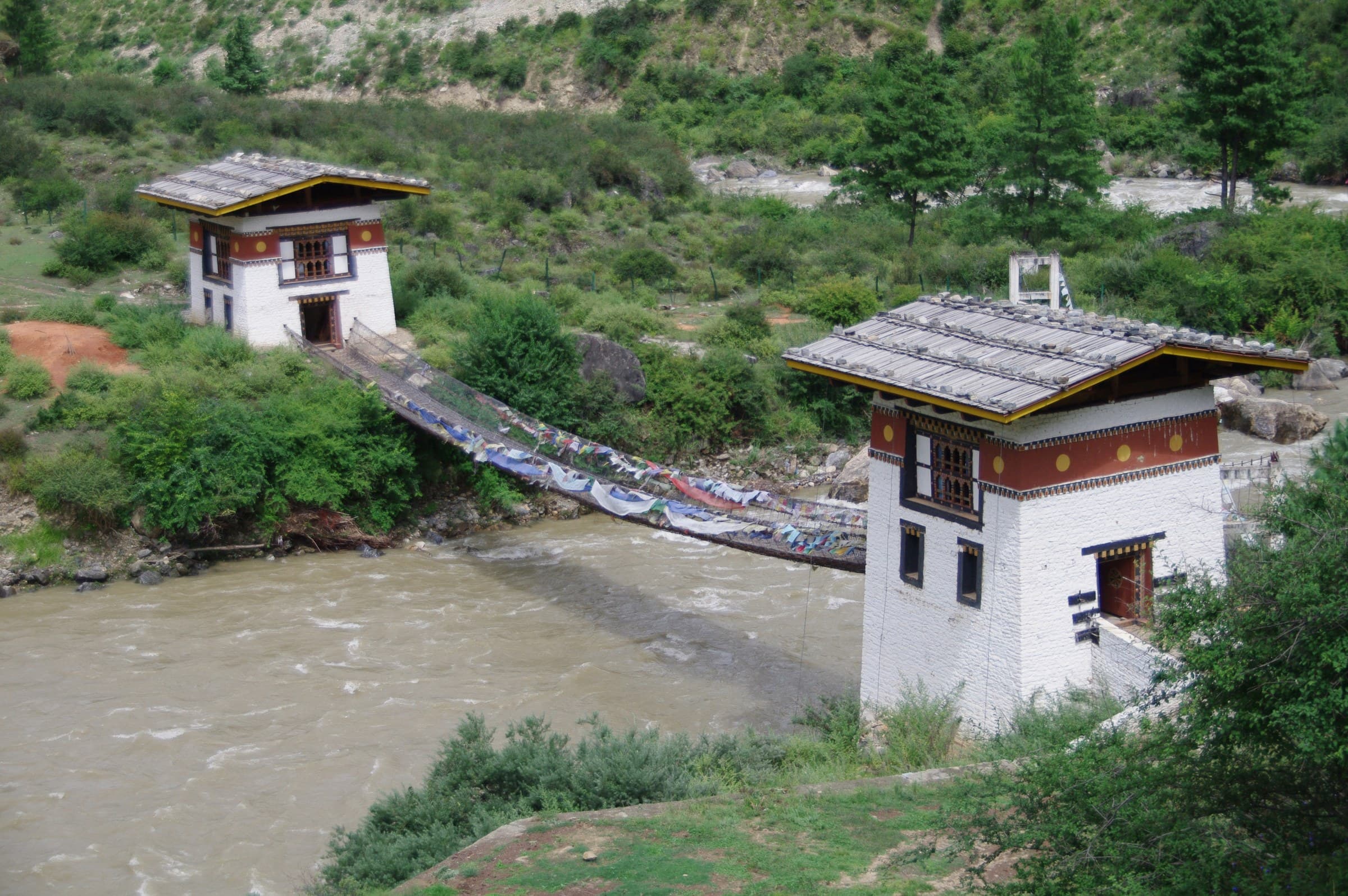
A historic temple associated with Thangtong Gyalpo and Bhutan's iron-chain bridge tradition, located between Paro and Thimphu.
Spring and autumn are excellent for hiking and festivals. Winter is cold but often clear. Summer is lush and green, though rain and cloud can extend walking times.
Plan most of the day; five to seven hours is a realistic range for many visitors including breaks and monastery time.
Two nights is the practical minimum; three nights creates a much better pace.
Official 2026 information lists 9 a.m.-5 p.m. daily except government/local holidays, with last admission at 4 p.m.
Treat it as an exterior or viewpoint feature; it is not a standard public walk-in attraction.
Rivers, royal history, fertile valleys, village walks and Bhutan's celebrated riverside dzong
Punakha is lower, warmer and more fertile than Thimphu and Paro. Punakha Dzong is the centrepiece, but the destination becomes far richer through village walks, river activities, the Khamsum hike, nunnery viewpoints, rural communities, hot springs and seasonal festivals.
Each experience includes imagery, location, tags, recommended time, difficulty, priority, summary, and visitor notes for practical route planning.
 01Place
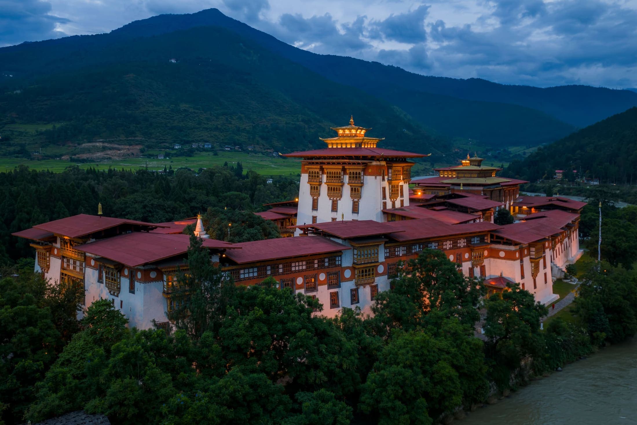
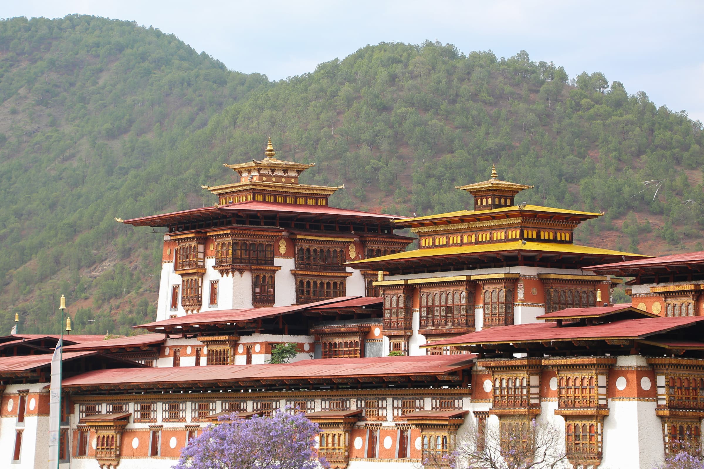
One of Bhutan's most majestic fortresses, built in 1637-38 at the confluence of the Pho Chhu and Mo Chhu rivers. It remains central to Bhutanese religious, political and royal history and is the winter residence of the Central Monastic Body.
 02Place
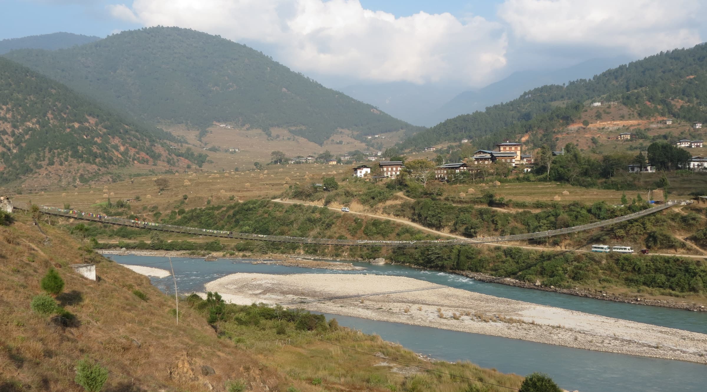
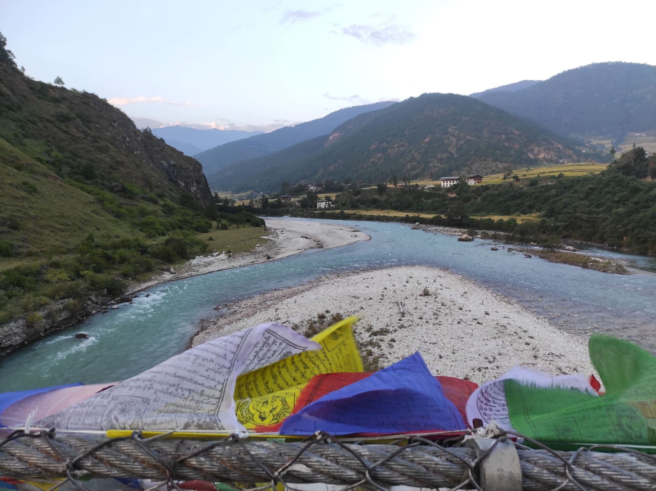
A roughly 230-metre pedestrian suspension bridge high above the Pho Chhu, lined with prayer flags and broad valley views.
 03Place
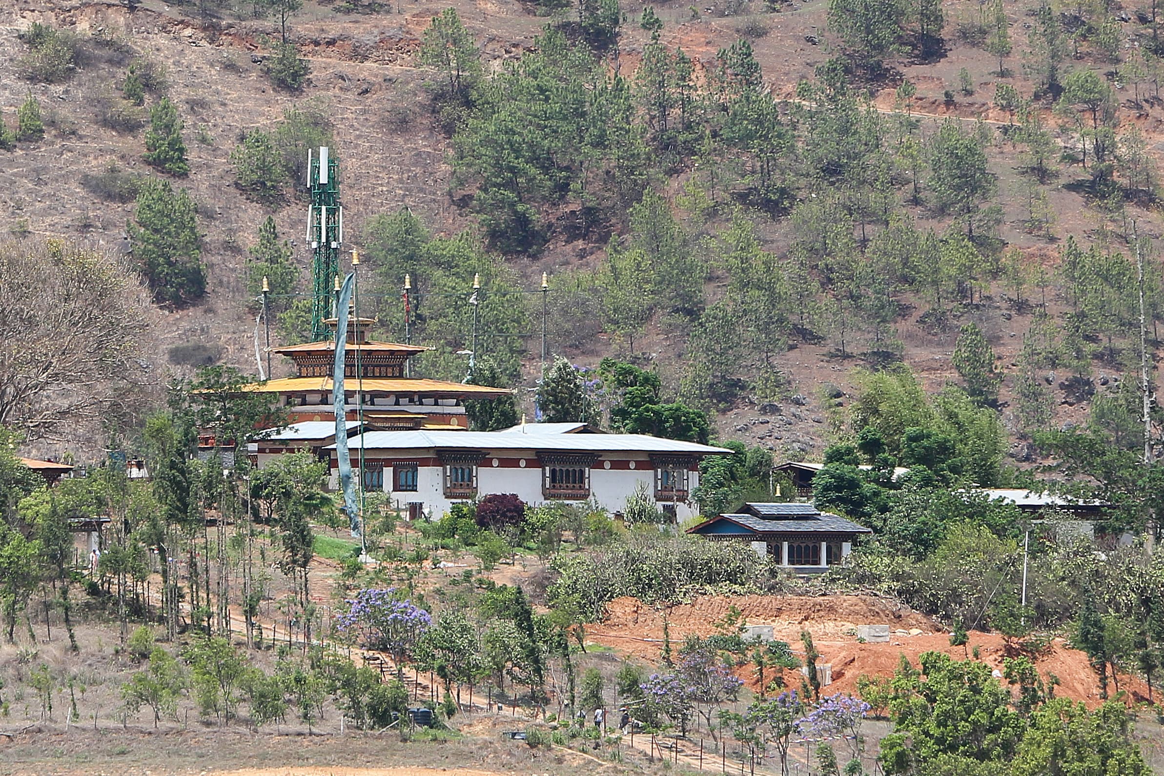
The fertility temple associated with Drukpa Kunley, reached through the fields and villages around Lobesa and Sopsokha. The walk is as valuable as the temple because it brings visitors through an active agricultural landscape.
 04Place
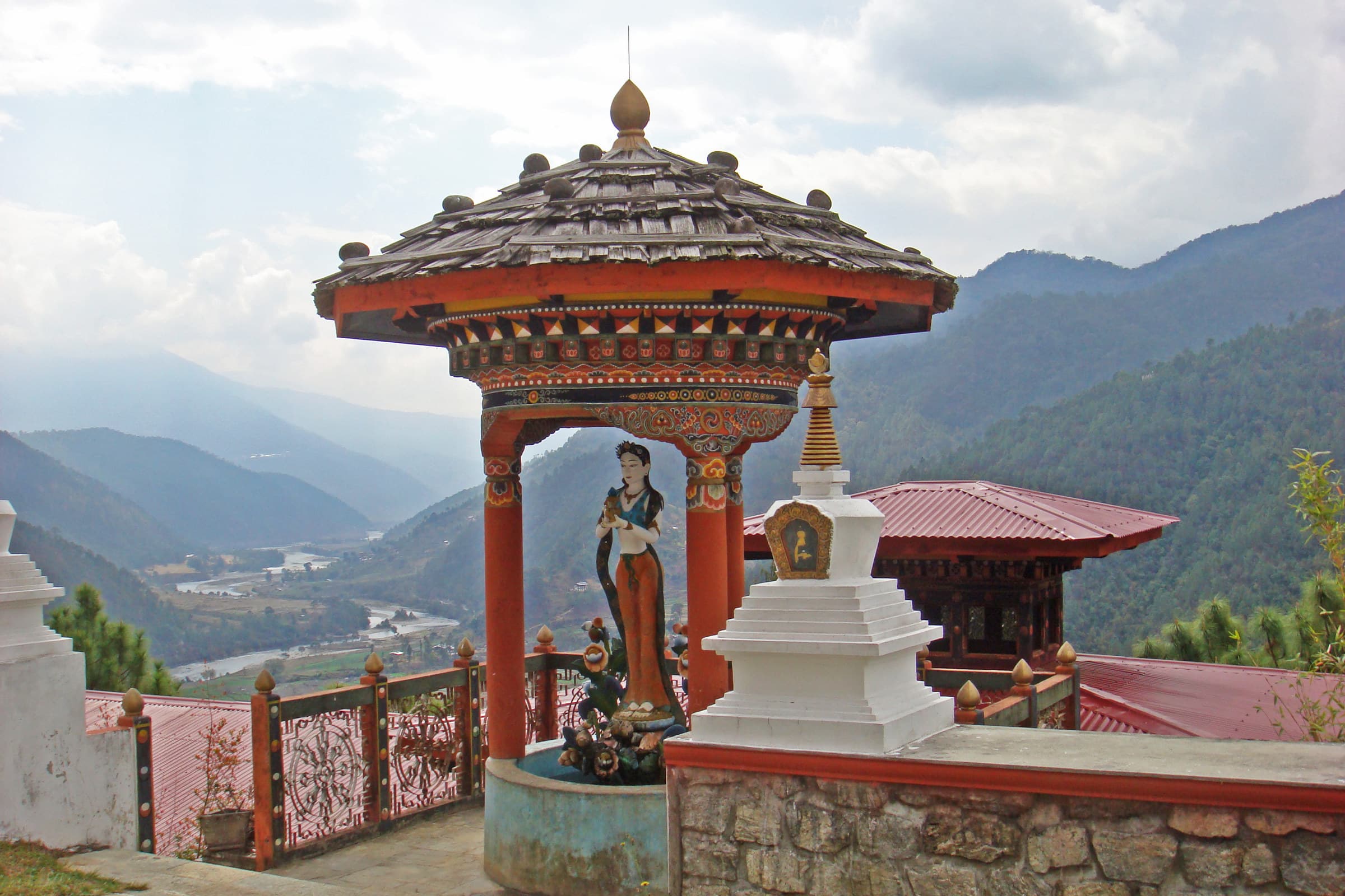
A hilltop chorten reached by crossing the Mo Chhu and climbing through fields and forest, with wide views along the valley.
 05Place
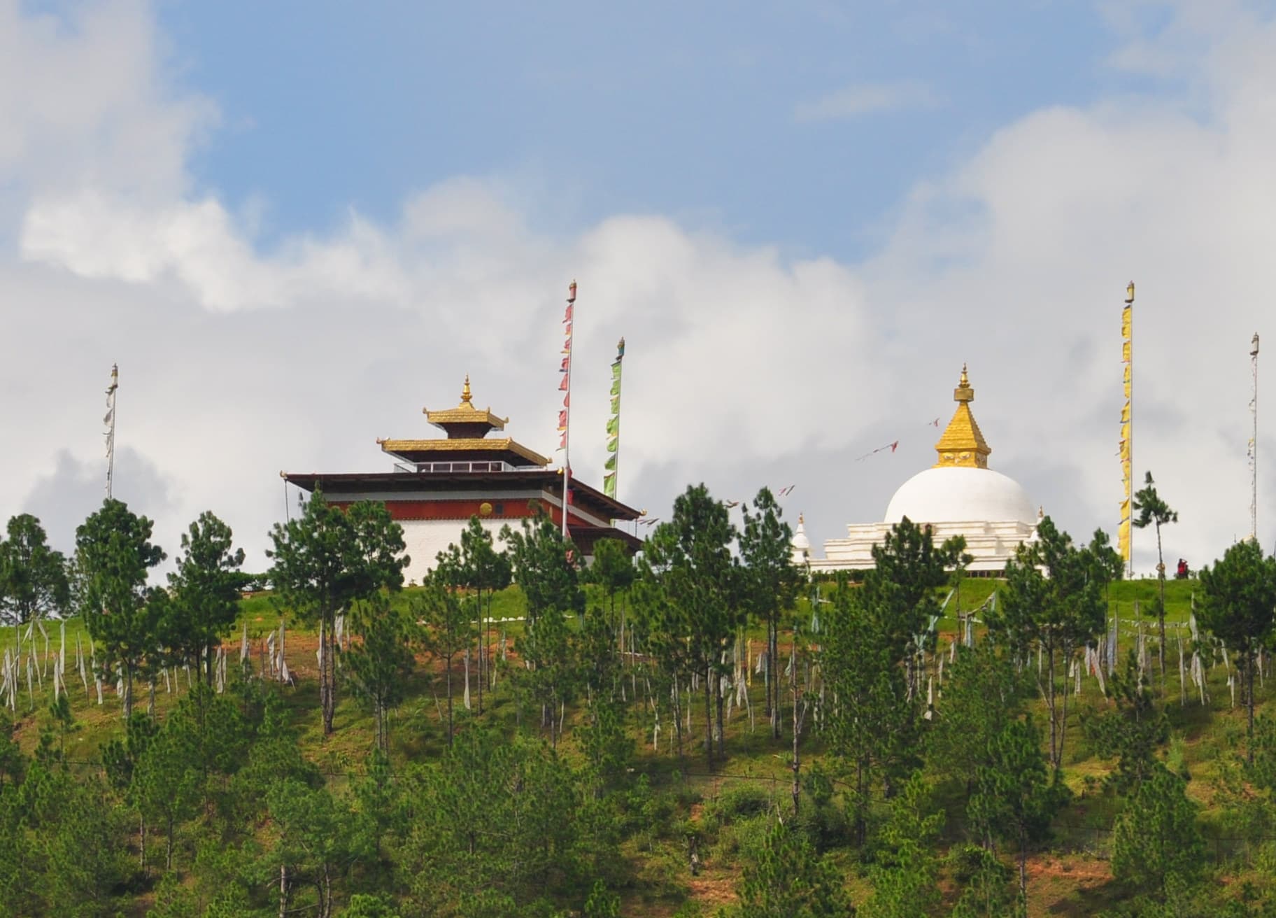
A peaceful ridge-top nunnery above the Punakha-Wangdue valley with broad views and an active women's monastic community.
 06Place
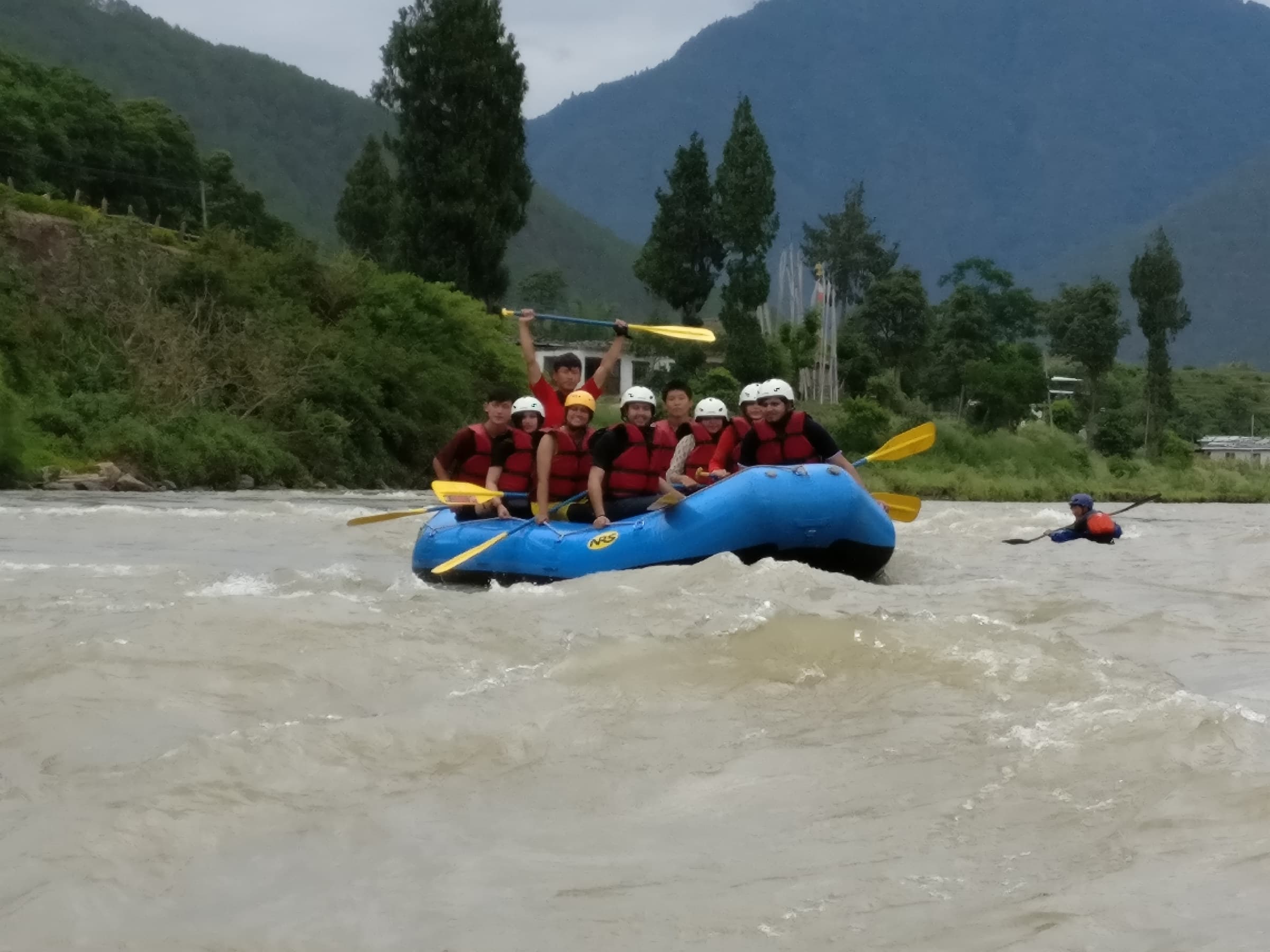
A generally gentler rafting experience through cultivated valley scenery, suitable for many first-time rafters.
 07Place
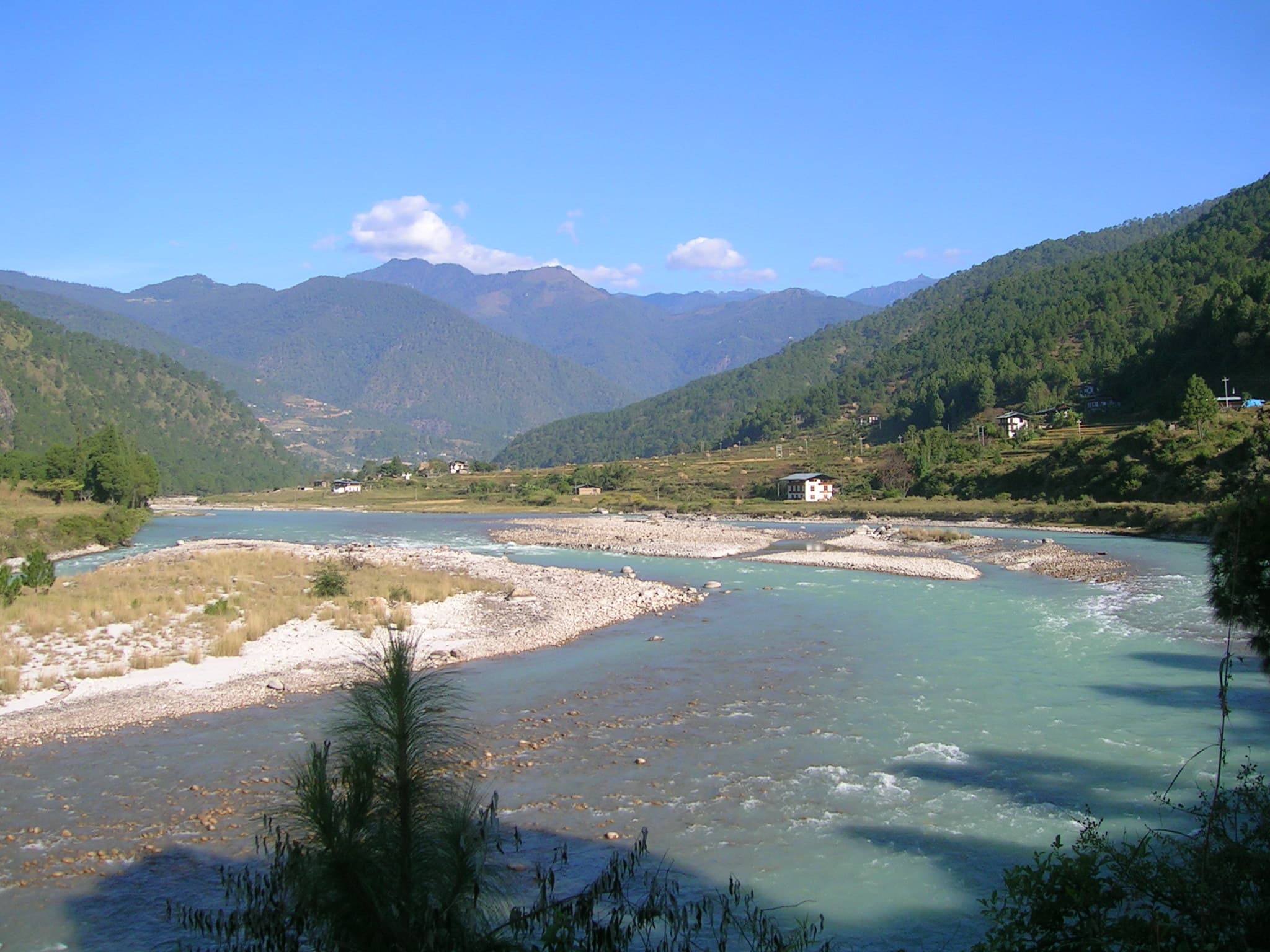
A more energetic river option with stronger rapids and excellent perspectives on Punakha's river landscape.
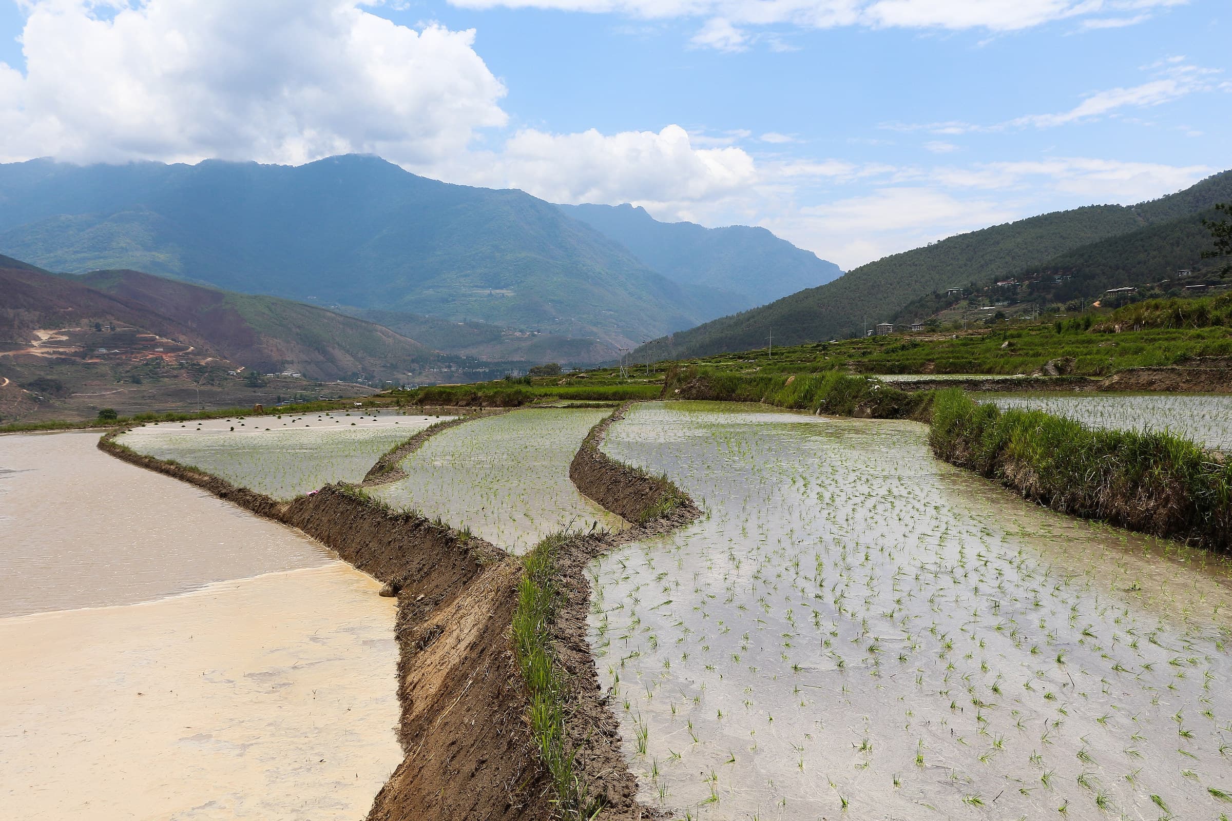 08Place
A photogenic farming landscape forming the classic approach to Chimi Lhakhang and a good place to slow down rather than rush directly to the temple.
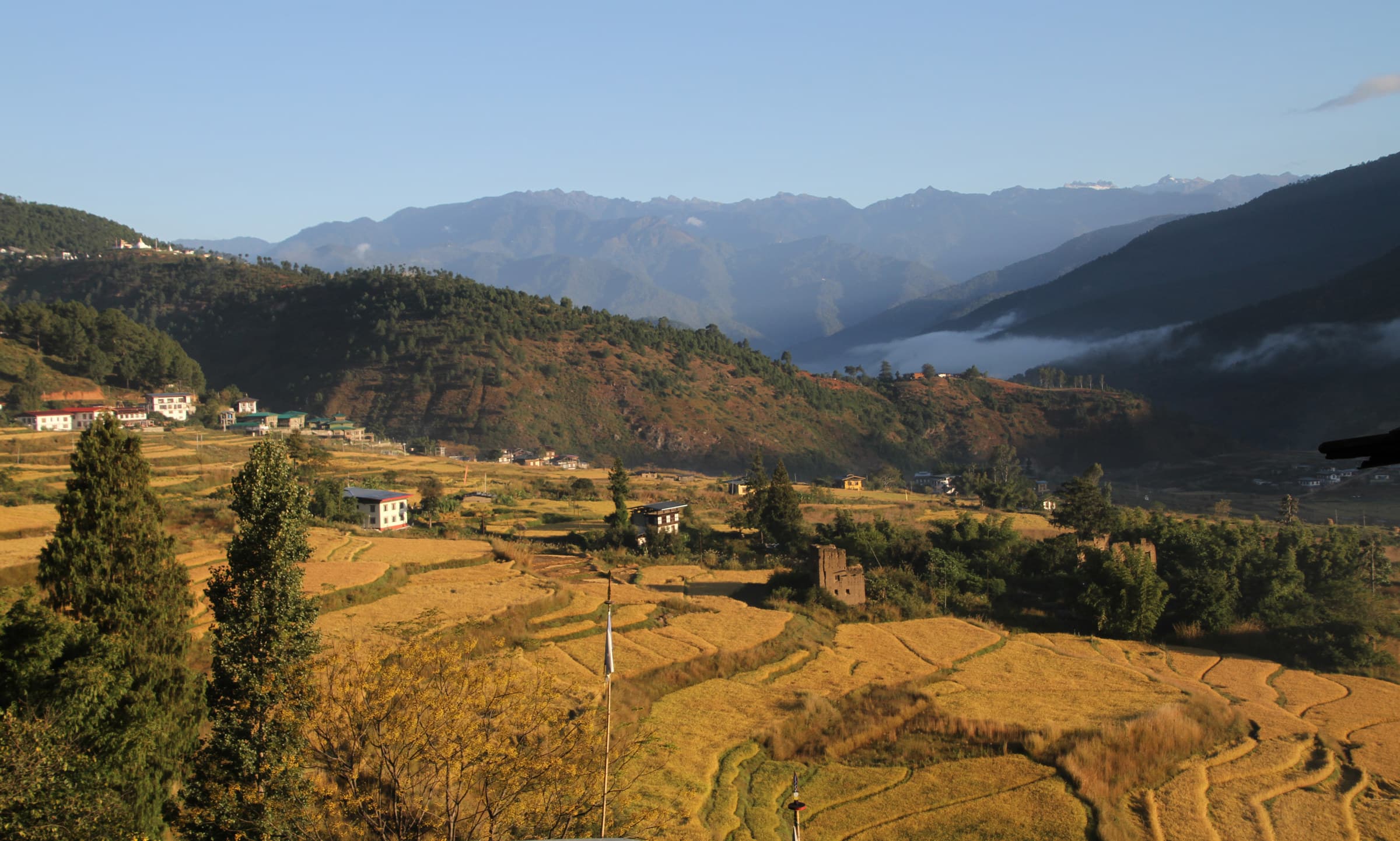 09Place
A small commercial centre near Chimi Lhakhang and the main road junction through the Punakha-Wangdue valley.
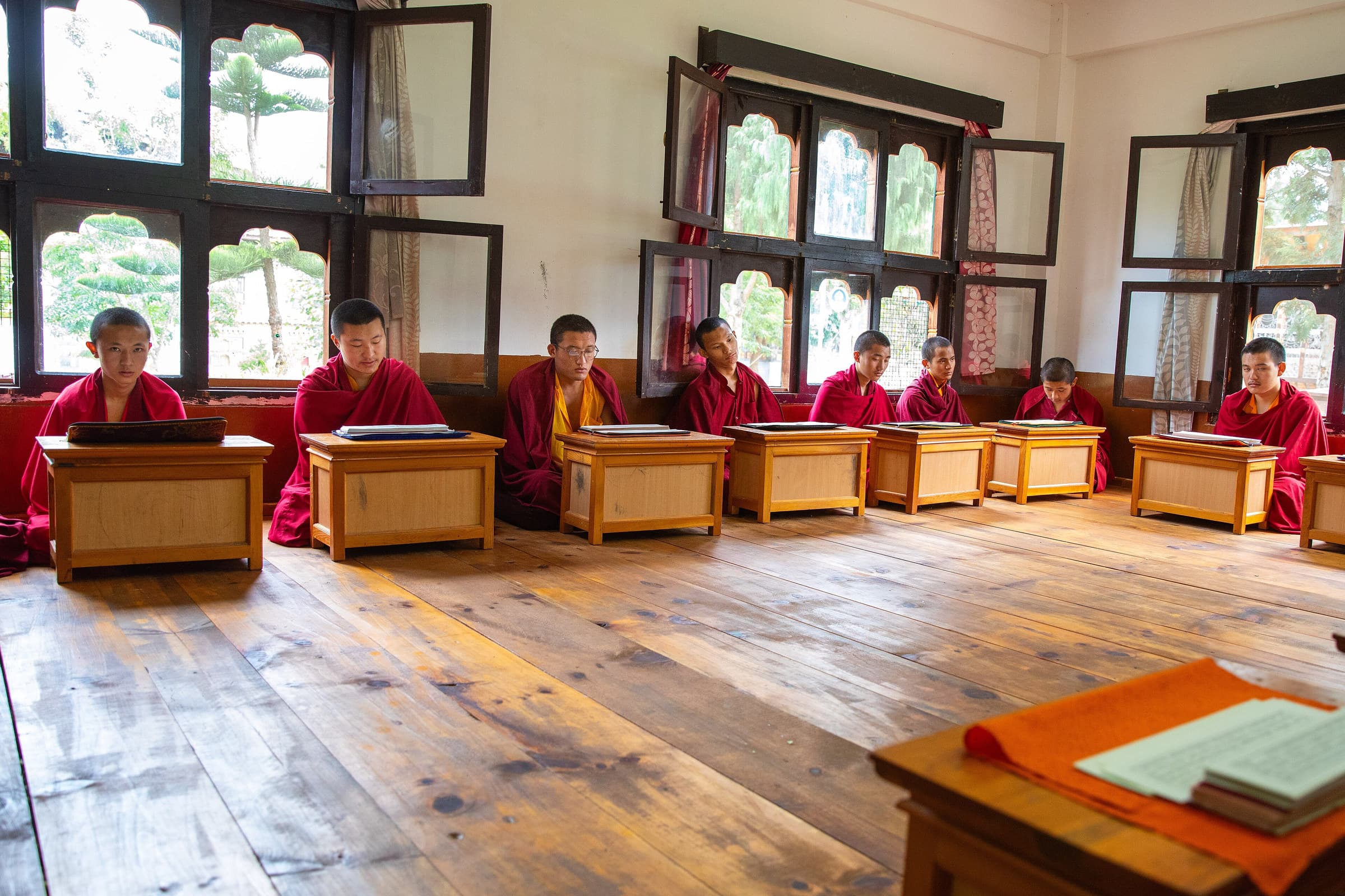 10Place
A quieter monastic educational setting above the valley, appropriate for visitors interested in Buddhist study and monastic life.
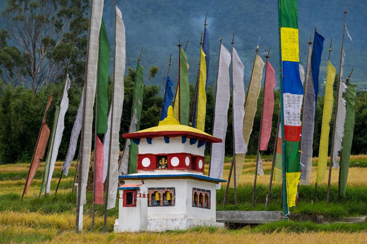 11Place
A ridge-top community known for traditional houses, gardens, religious heritage and broad views over Punakha.
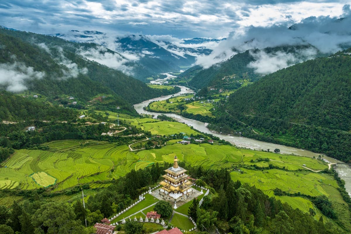 12Place
A traditional village near Talo that works well as part of a slow rural circuit and provides a different perspective on Punakha beyond its most visited monuments.
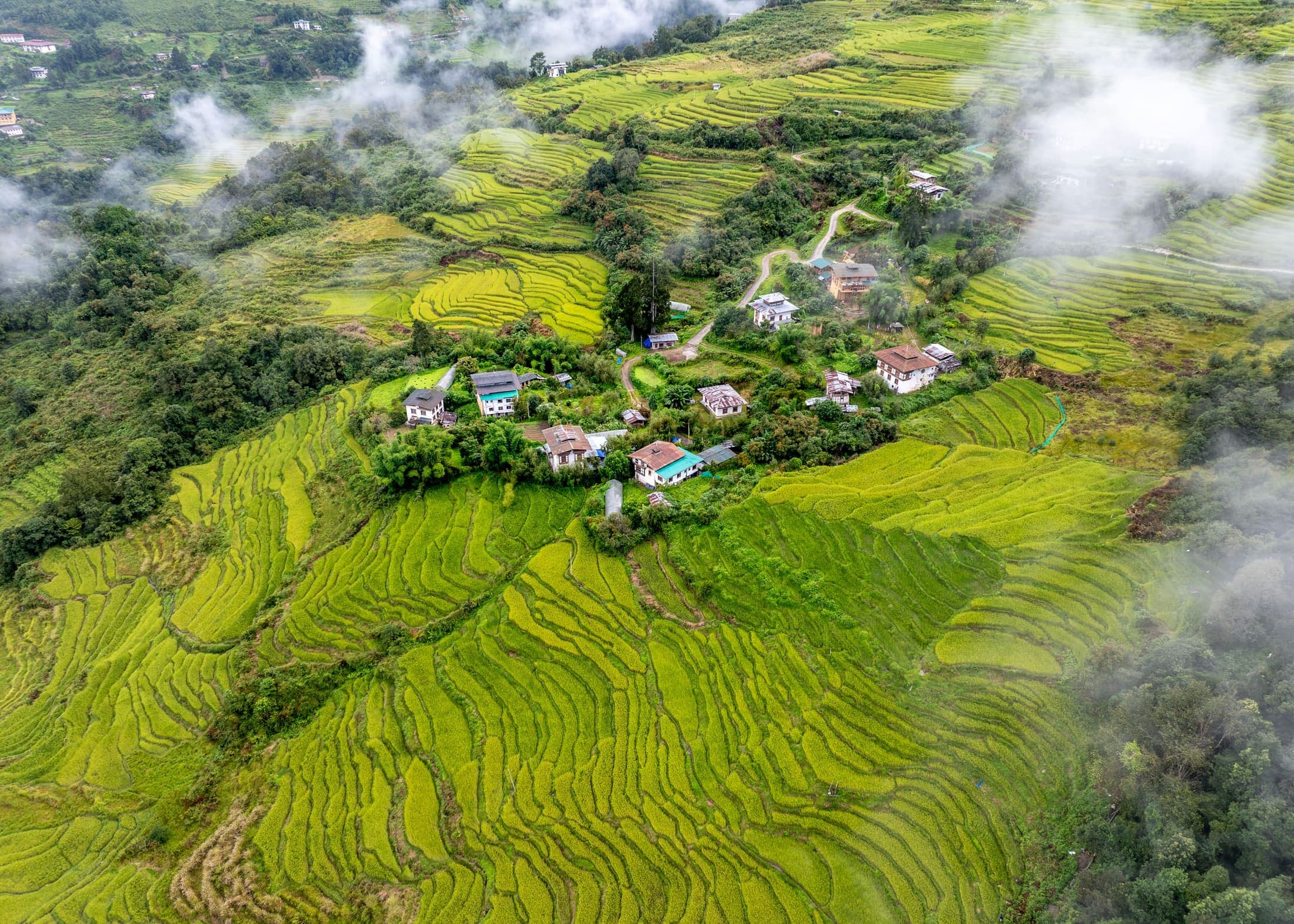 13Place
A farming landscape that helps explain Punakha's fertile rice-growing identity and seasonal agricultural life.
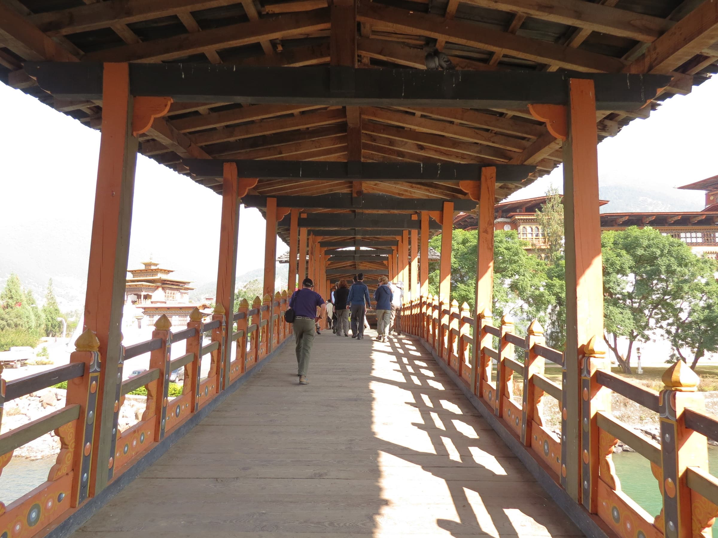 14Place
The traditional-style enclosed bridge approach creates one of the strongest visual transitions into Punakha Dzong.
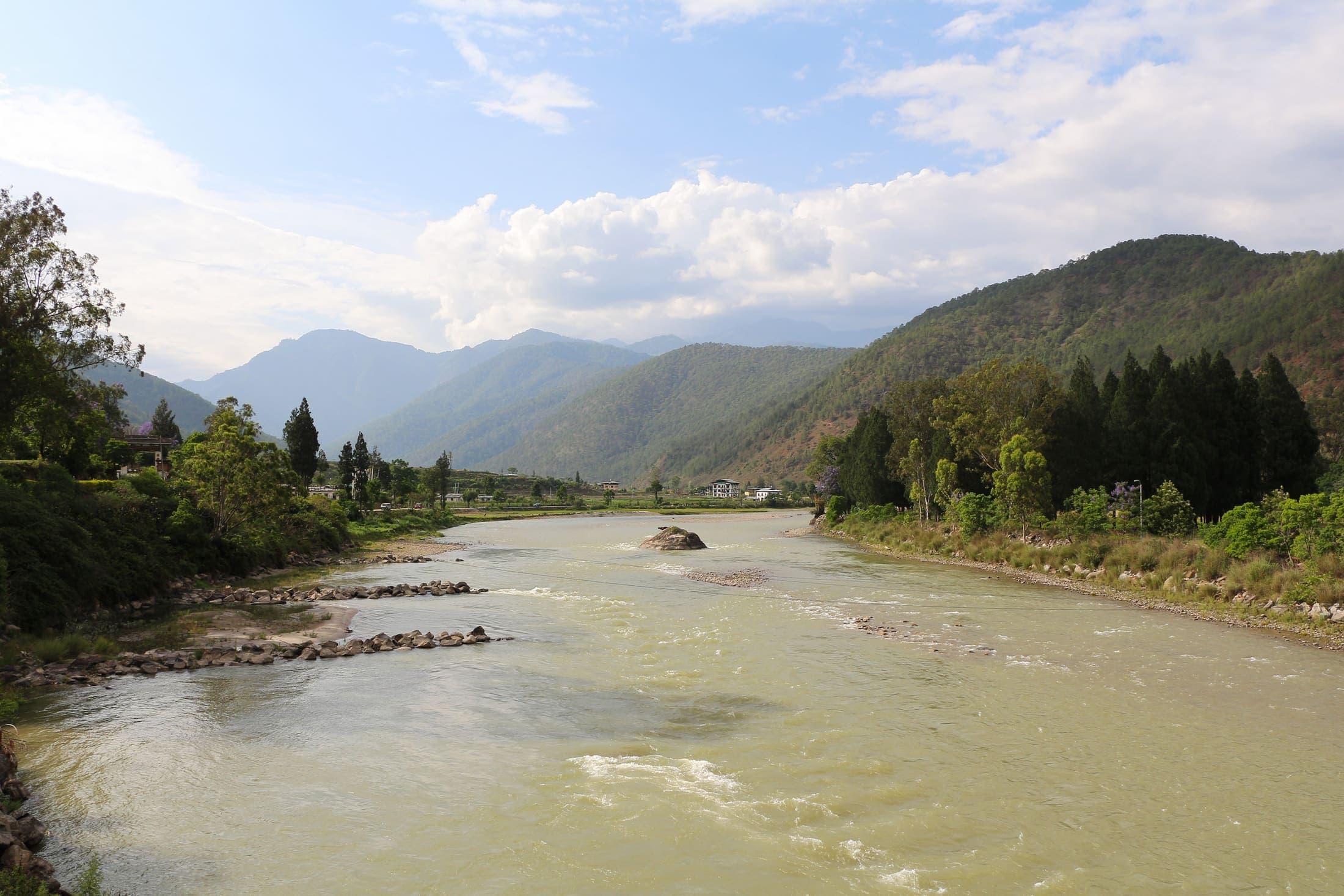 15Place
One of the hot springs identified by Punakha Dzongkhag, suited to rural wellness itineraries with enough time for variable access.
 16Place
A lesser-known traditional hot-spring area in the wider district, best for repeat visitors and slow travel.
 17Place
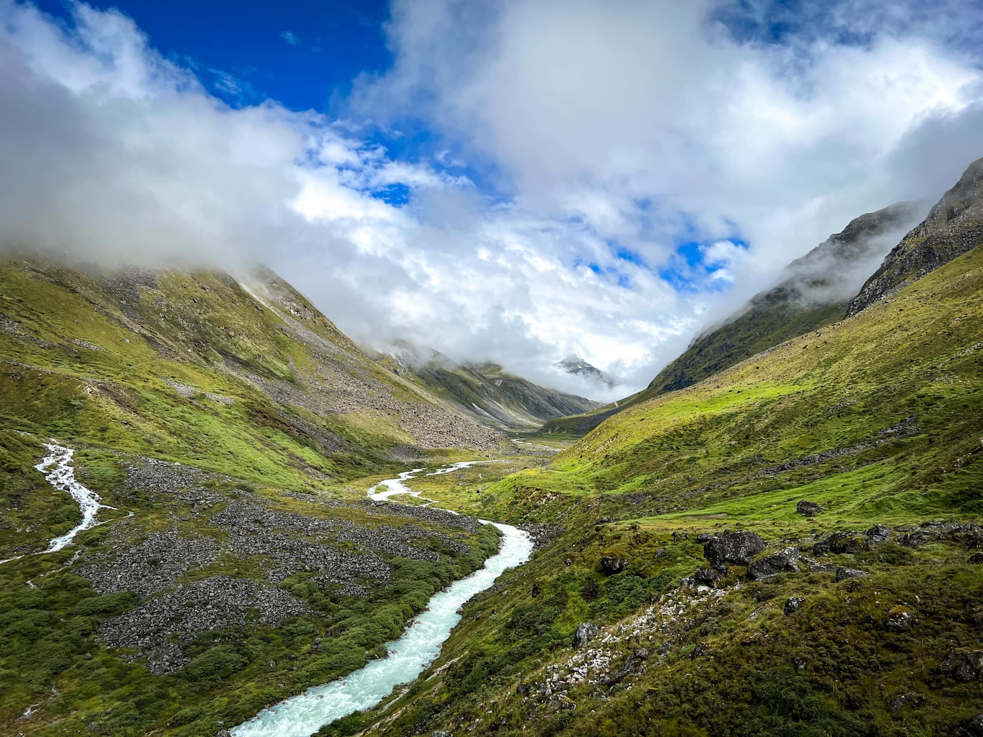
A lower-altitude multi-day trek through villages, forest and agricultural landscapes, generally suited to cooler, drier months.
 18Place
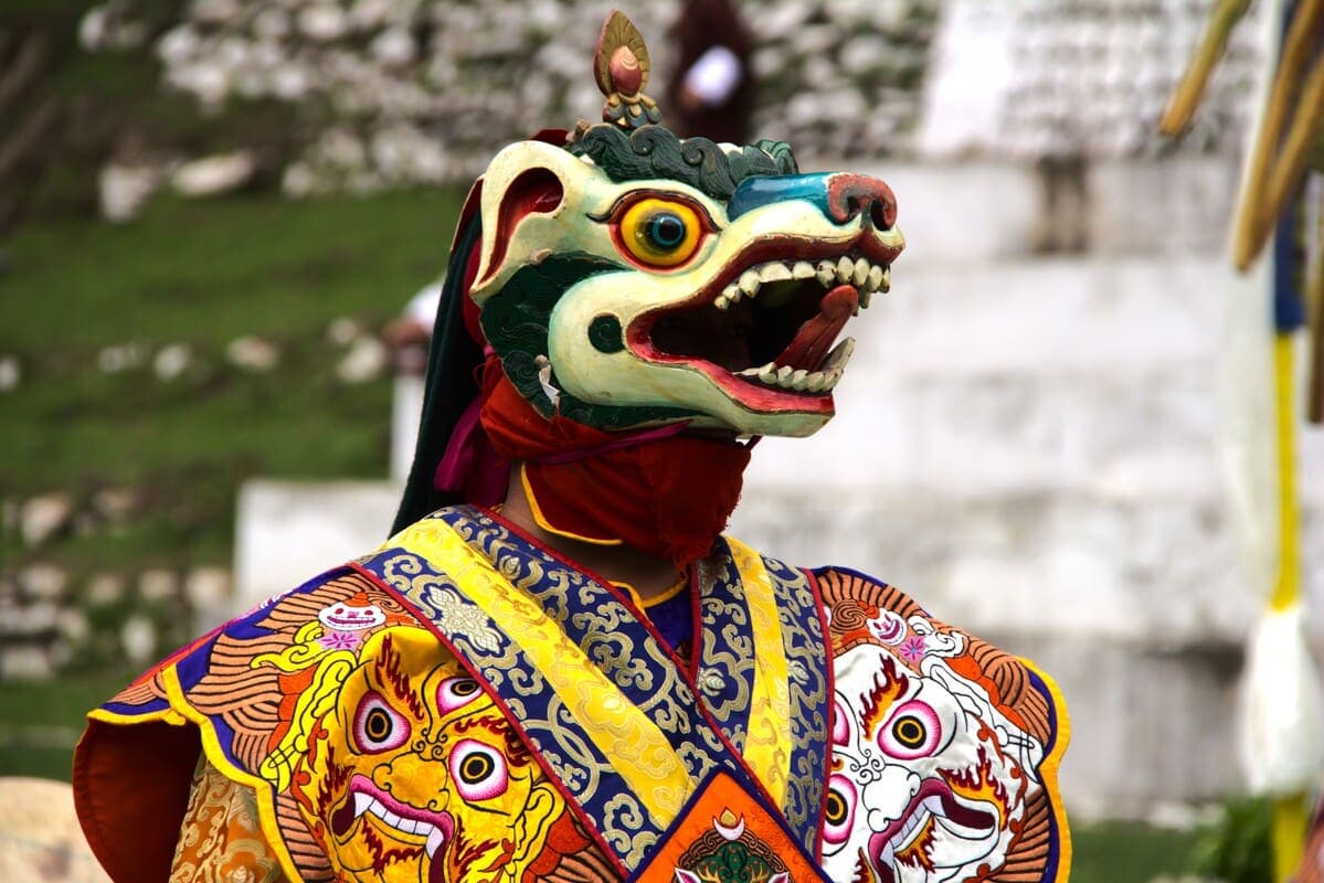
A major festival sequence at Punakha Dzong combining historic ritual, sacred dance and community gathering.
 19Place
A smaller festival at Talo Gonpa offering a more intimate village setting.
 20Place
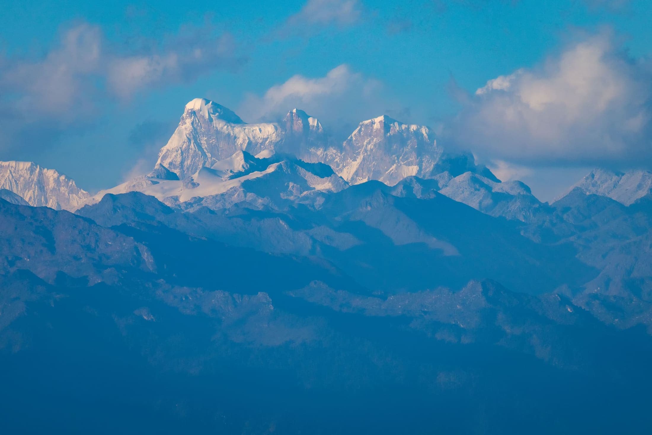
A new tourism direction highlighted by Punakha in January 2026, combining stargazing, celestial storytelling and low-light rural landscapes.
Winter is mild by Bhutanese standards. Spring brings jacaranda and warmer fields. Summer is intensely green and agricultural but wetter. Autumn is excellent for walking and harvest landscapes.
Two nights suits most first visits; three nights allows a village circuit, rafting or longer hike.
Yes. The main valley is much lower and generally warmer.
The Mo Chhu is generally promoted as gentler, while the Pho Chhu offers stronger rapids; actual conditions depend on water levels.
Spring is the period most associated with the violet jacaranda display, but exact bloom timing varies each year.
Restored fortress heritage, river valleys, rural villages and the gateway toward central Bhutan
Wangdue is often hurried through between Punakha and Phobjikha, yet the district deserves its own identity. The restored dzong anchors the main valley, Rinchengang offers a distinctive village landscape, and deeper rural areas such as Khotokha and Adha-Rukha support community, nature and low-volume travel.
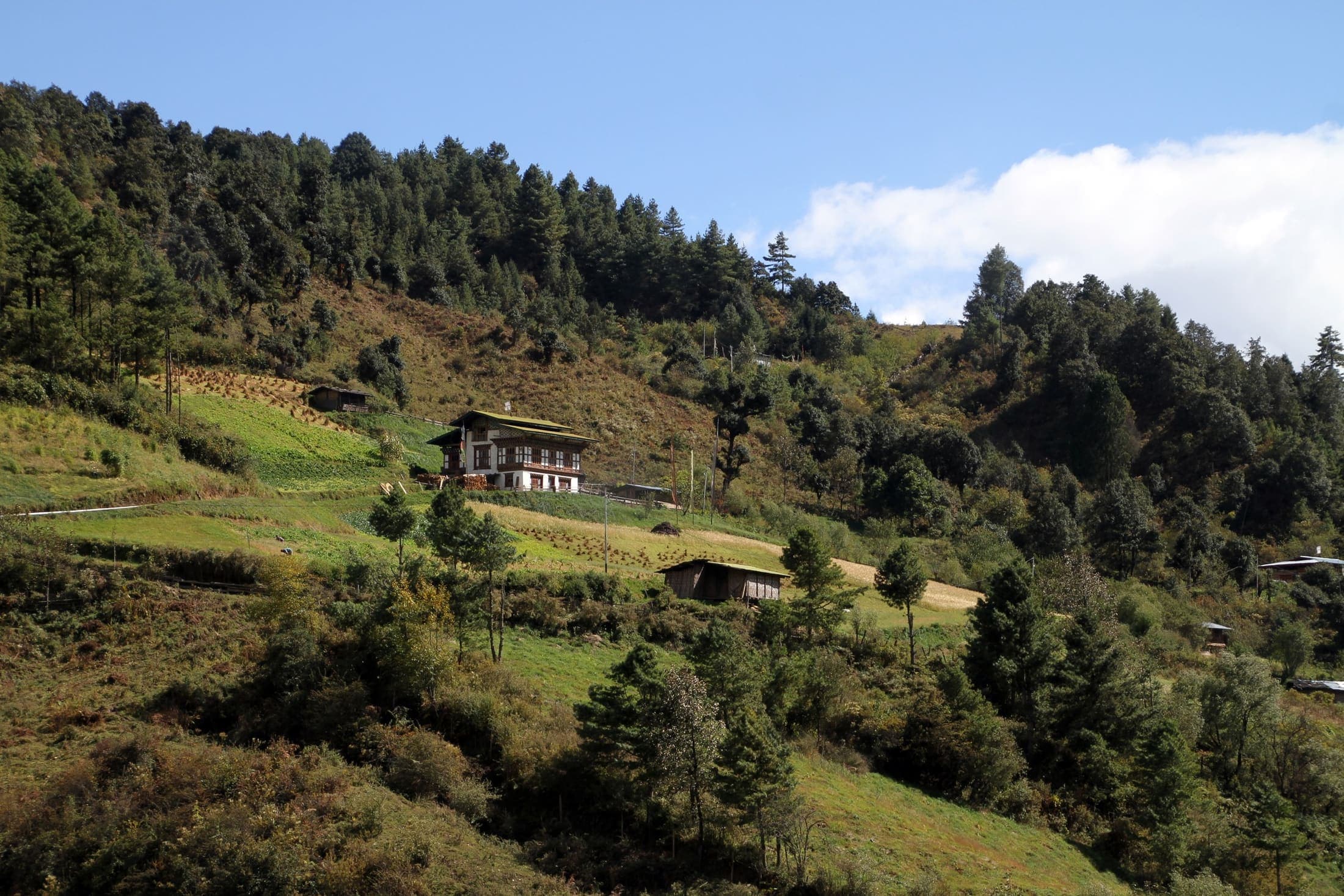
Each experience includes imagery, location, tags, recommended time, difficulty, priority, summary, and visitor notes for practical route planning.
 01Place
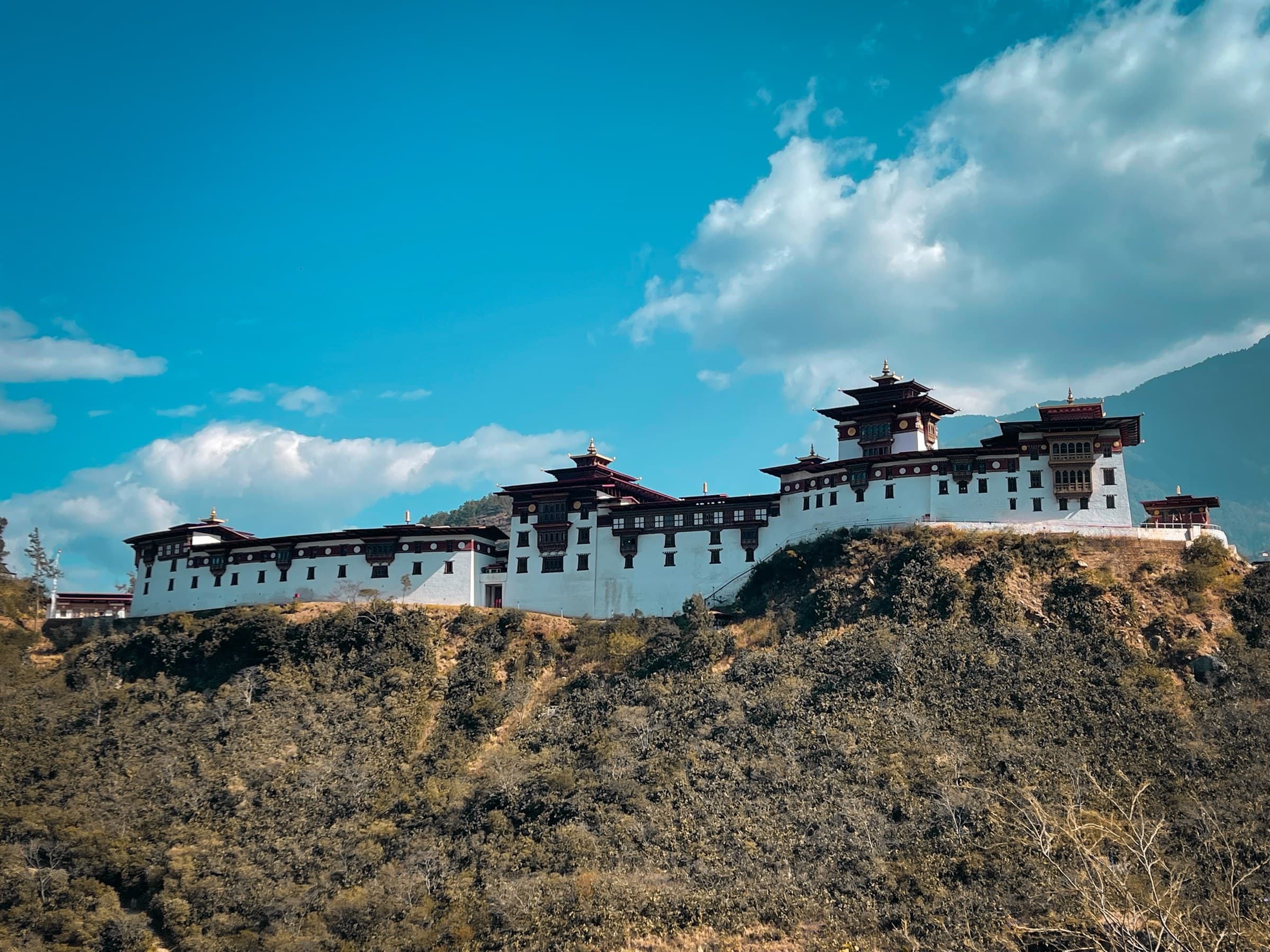
The great fortress overlooking the Punatsang Chhu corridor, reconstructed after the devastating 2012 fire. Its ridge-top position explains its historic strategic importance and makes it the architectural anchor of the district.
 02Place
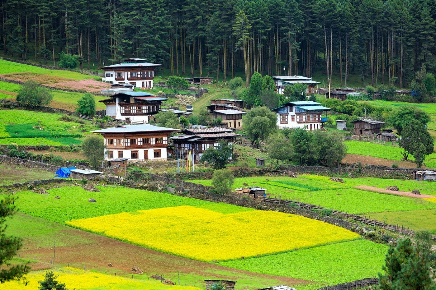
A compact traditional village facing the dzong, known for tightly clustered stone-and-timber houses and steep lanes.
 03Place
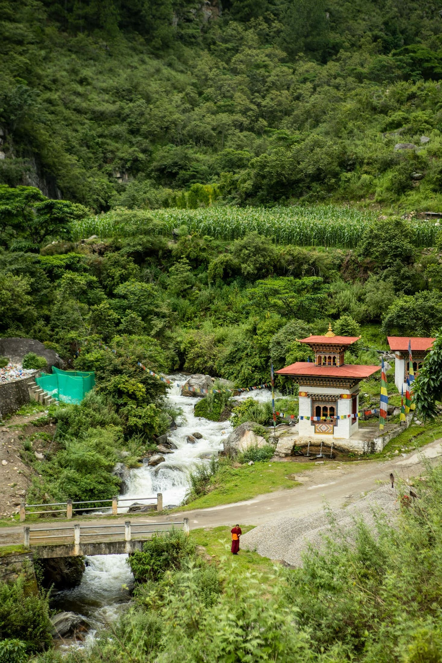
Remote farming villages promoted by the district for homestays, local stories, food and insight into rural life.
 04Place
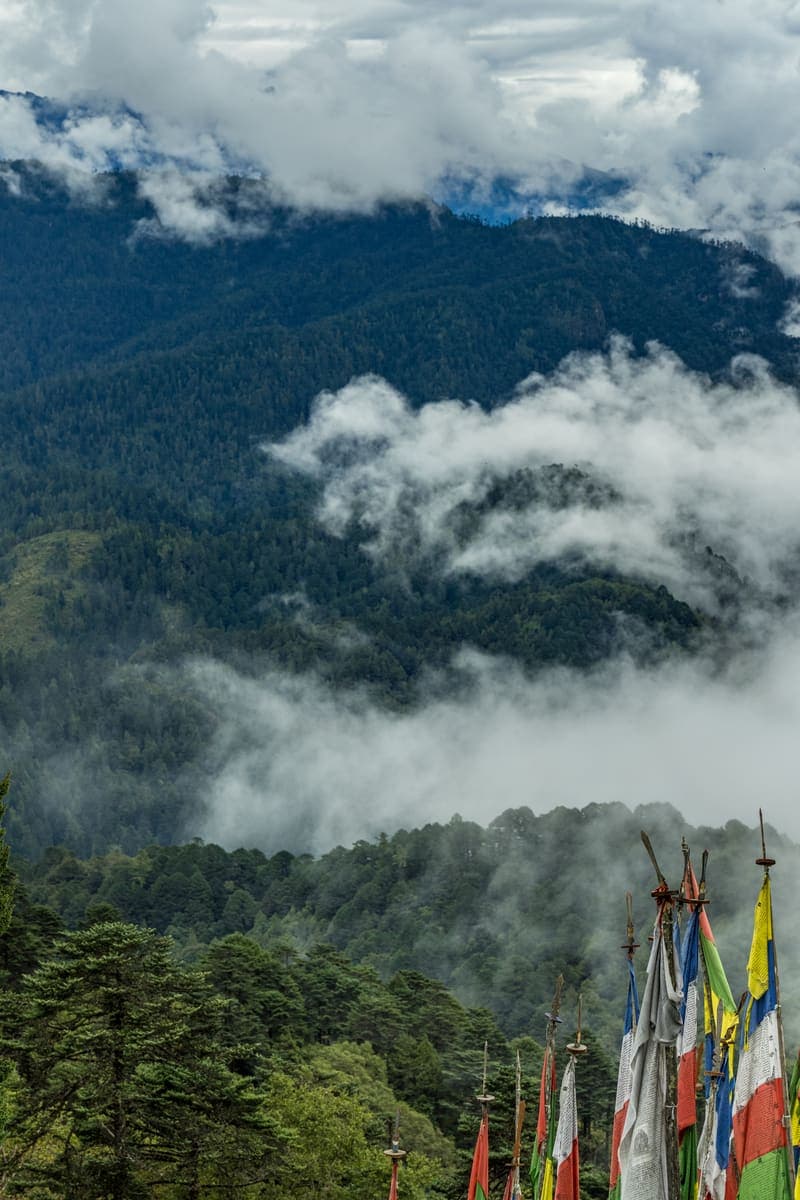
A quiet highland valley associated with rural settlements, religious sites and seasonal black-necked crane habitat.
 05Place
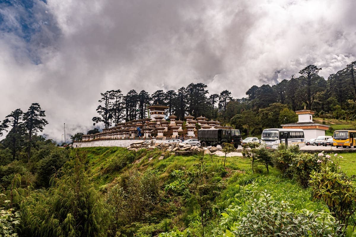
A historic monastery around 2,770 metres in the Khotokha area, associated with important religious figures and the annual Dolung Mani.
 06Place
A high road pass marking the transition toward central Bhutan, with prayer flags, alpine weather and changing mountain vegetation.
 07Place
A small settlement on the eastward highway useful for breaks and understanding the long overland journey toward central Bhutan.
 08Place
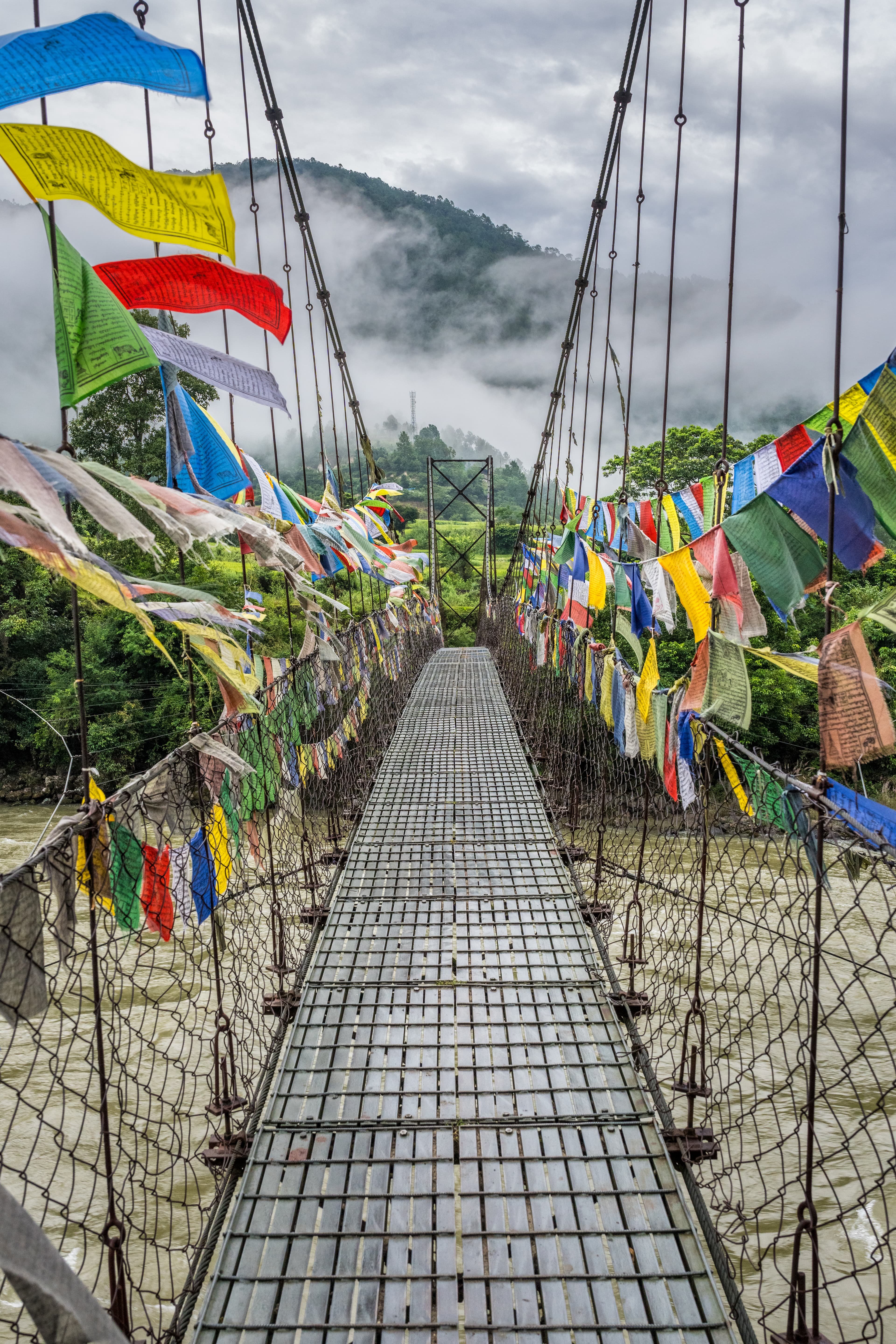
Bridges, river landscapes and road viewpoints along the Punatsang Chhu corridor provide useful scenic pauses between formal sightseeing stops.
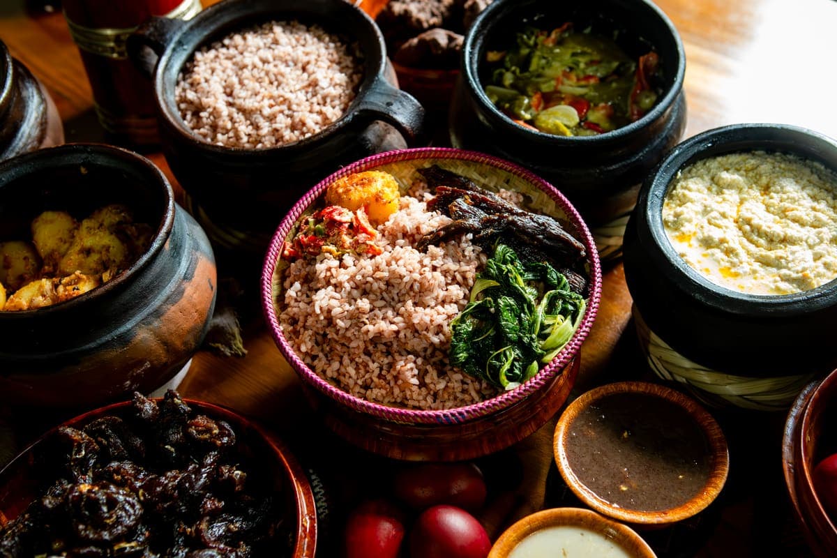 09Place
Community-led stays that help distribute tourism beyond the best-known sites and connect visitors with food, agriculture and household life.
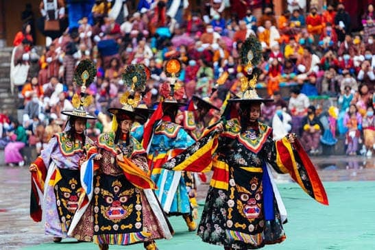 10Place
Wangdue's principal annual tshechu, with sacred dances and community gathering.
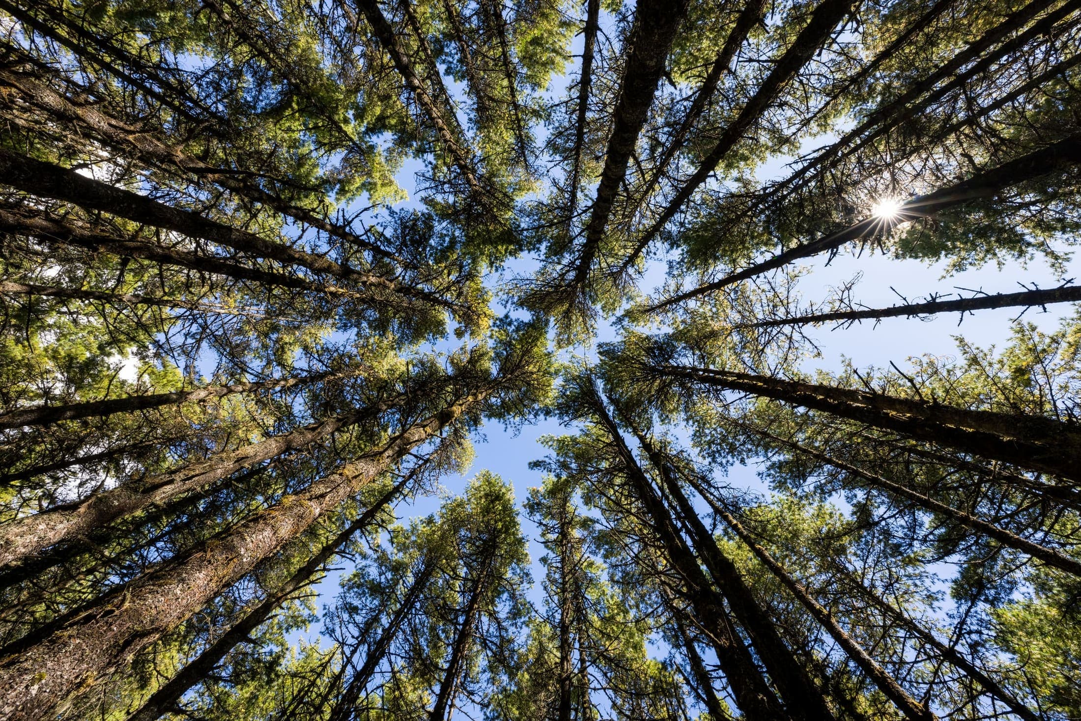 11Place
Lower-altitude trekking through forest, villages and agricultural landscapes in the Wangdue-Punakha region.
Spring and autumn are excellent for village walks and road travel. Winter is clear but colder on high passes. Summer is intensely green, with wetter rural trails.
No. They are neighbouring but separate districts with distinct sites.
No. The restored dzong, Rinchengang and rural valleys justify dedicated time.
The official tentative calendar lists 19-21 September 2026.
High-altitude wetlands, black-necked cranes, monastery heritage and an outstanding nature trail
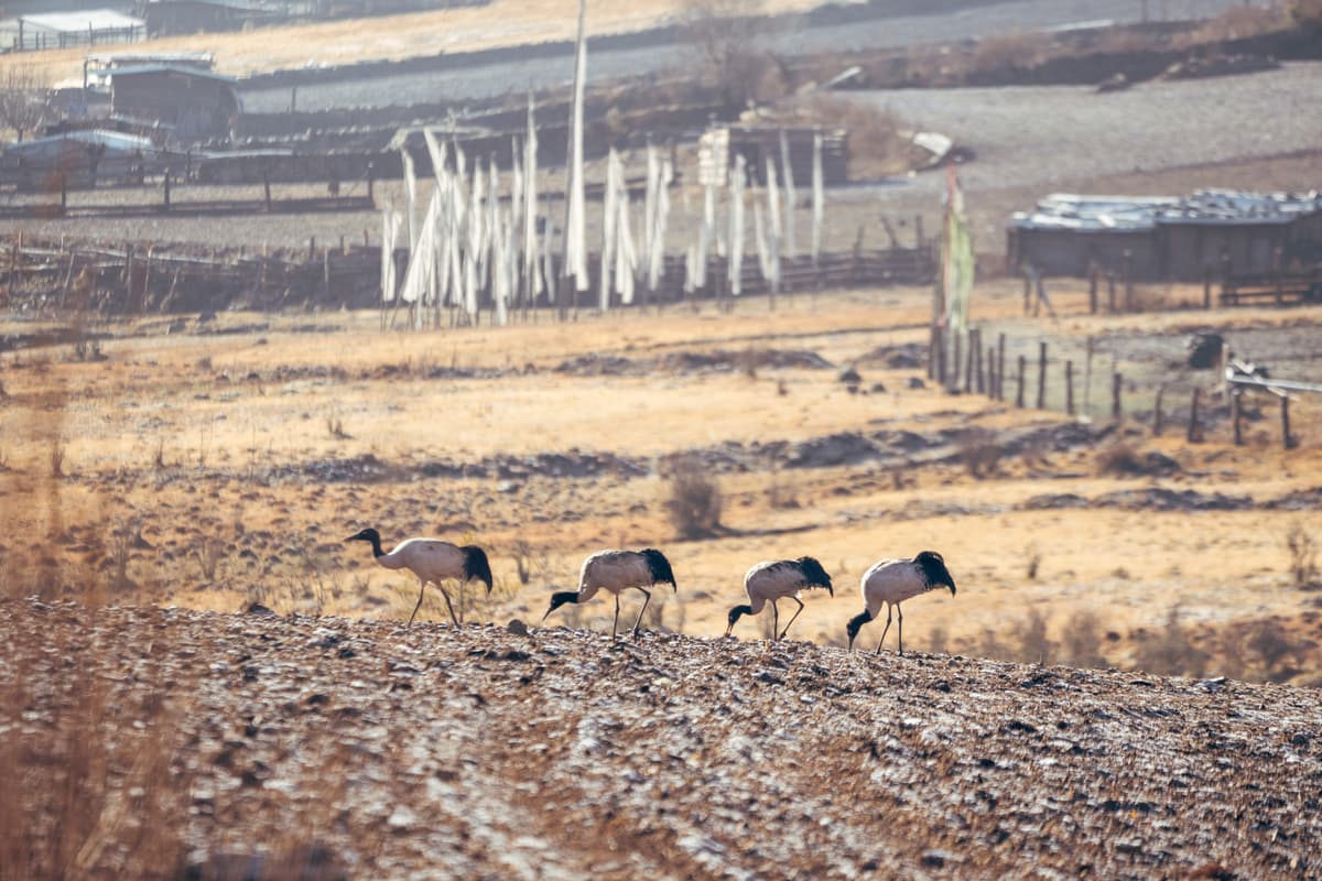
Gangtey and Phobjikha combine a monastic ridge with a broad high-altitude wetland valley. The region is one of Bhutan's strongest nature-and-culture destinations because conservation is visible in the landscape itself. Cranes dominate winter travel, but the valley remains rewarding year-round through walking, farms, monastery heritage and highland scenery.
Each experience includes imagery, location, tags, recommended time, difficulty, priority, summary, and visitor notes for practical route planning.
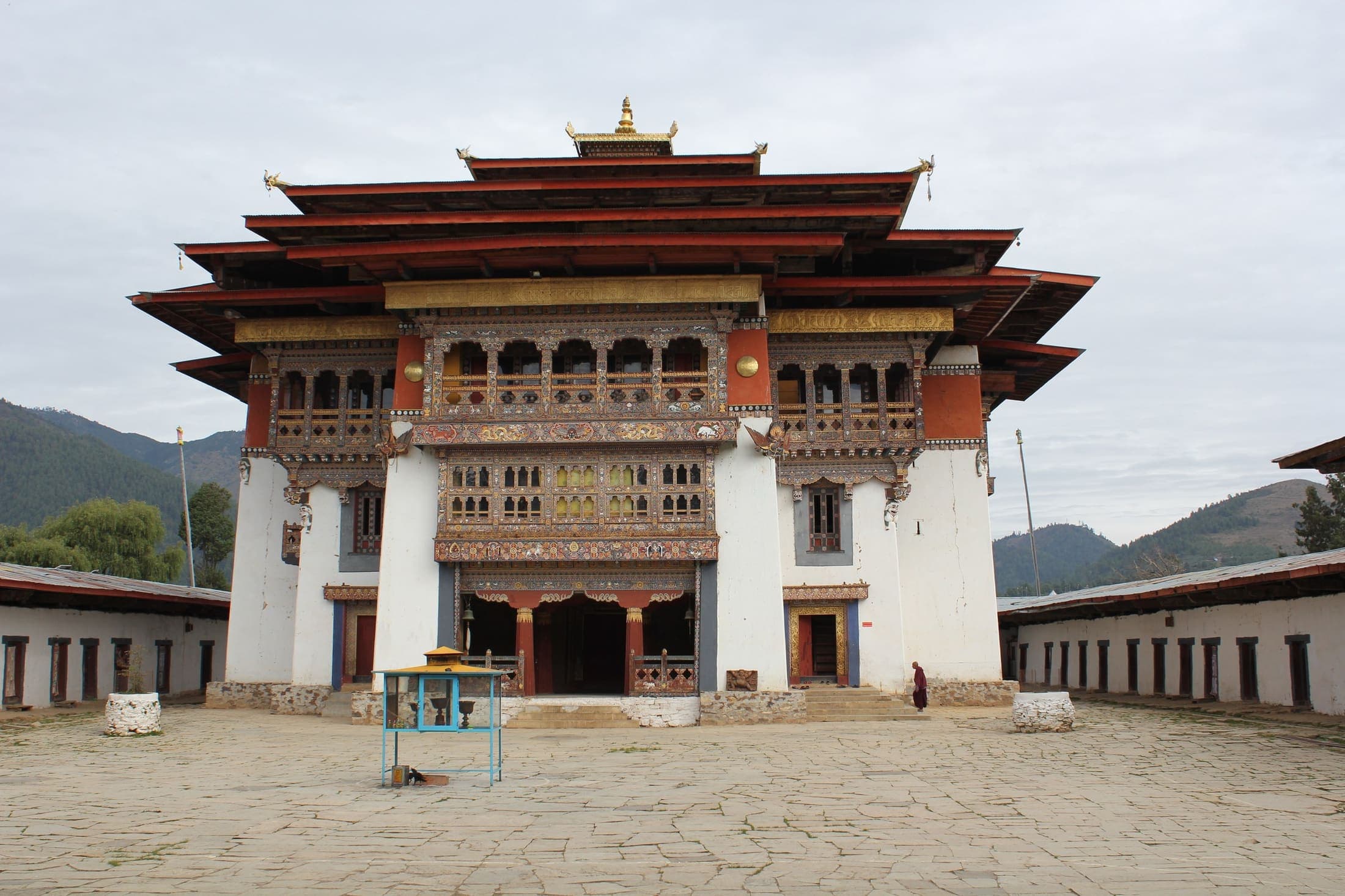 01Place
A major Nyingma monastery and principal seat of the Pema Lingpa tradition overlooking Phobjikha Valley. The ridge-top setting gives cultural context before visitors descend into the wetland landscape.
 02Place
A broad high-altitude wetland valley known for open landscapes, traditional farms and wintering black-necked cranes. Its conservation story is as important as the scenery.
 03Place
A conservation-focused visitor stop explaining crane migration, wetland habitat and the valley's ecological importance.
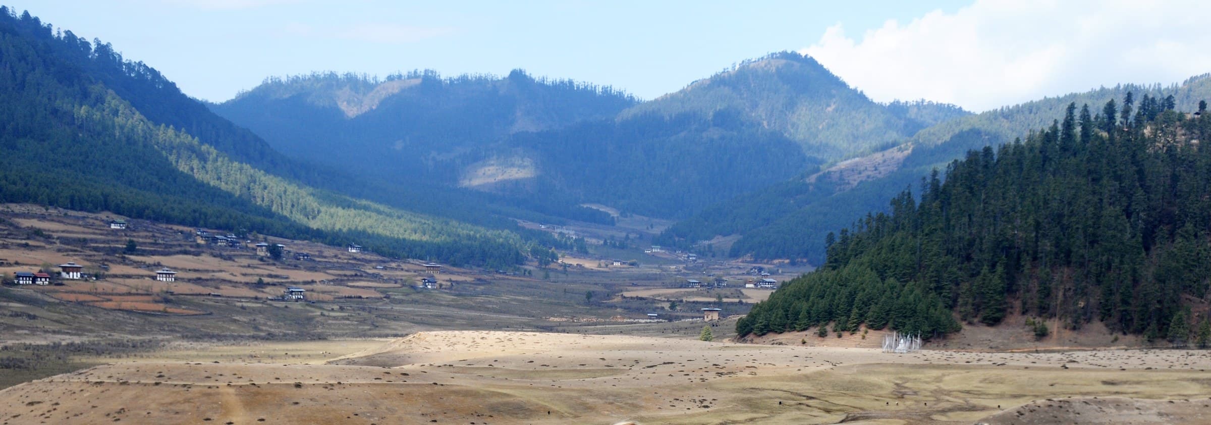 04Place
A gentle trail from the Gangtey area through blue-pine forest, meadows and village landscapes toward Khewang. It is one of the best ways to experience the valley at human pace.
 05Place
A traditional temple in the lower valley that works naturally as part of the Gangtey Nature Trail.
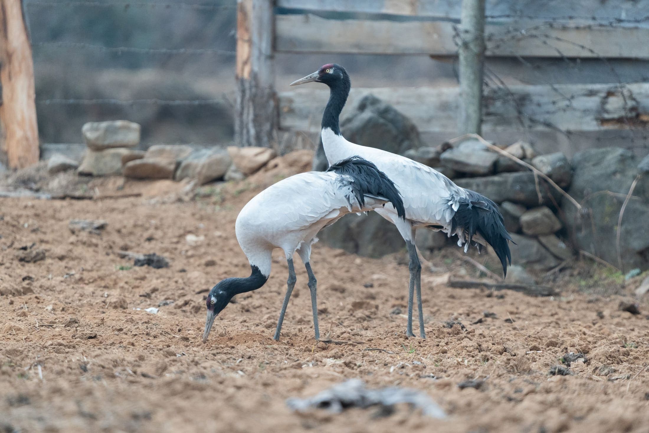 06Place
Observe black-necked cranes in their winter habitat, generally from around mid-October into February.
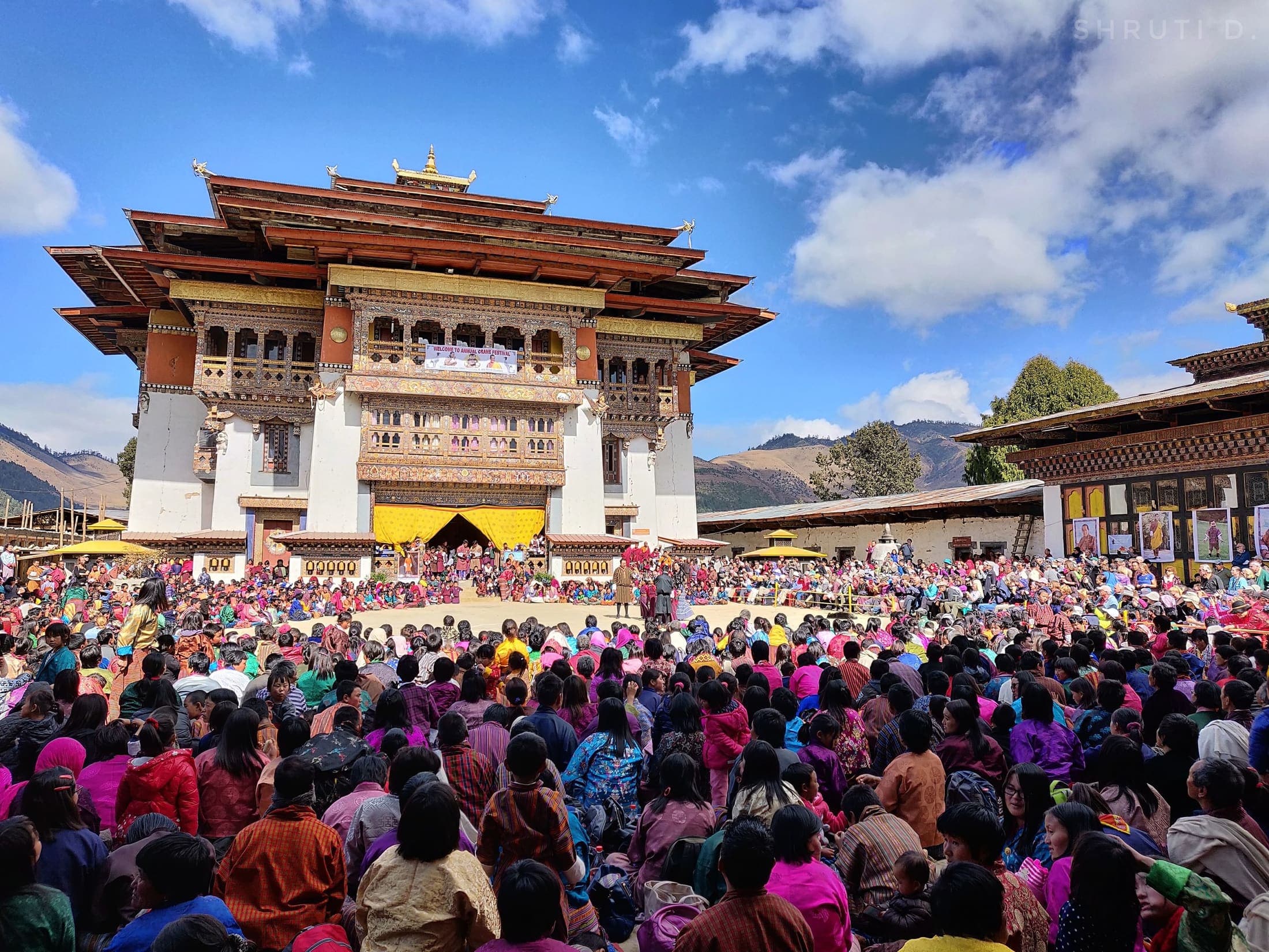 07Place
An annual community festival at Gangtey Gonpa celebrating the arrival and conservation of the cranes.
 08Place
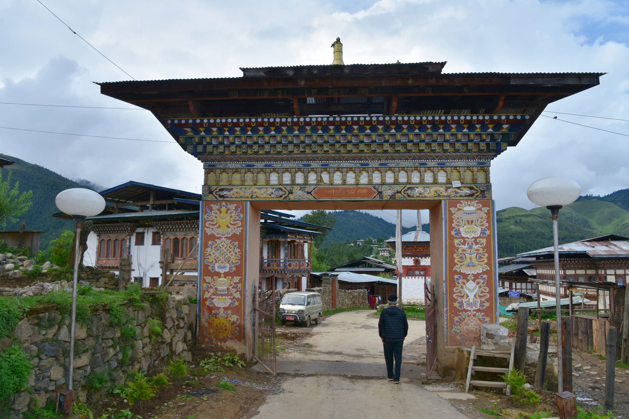
A host-led way to experience highland food, farms, homes and the slower rhythm of the valley.
 09Place
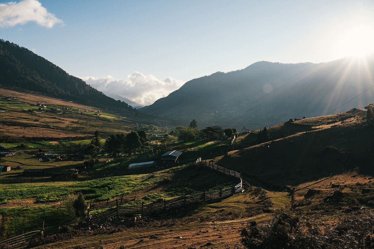
A scenic forest and highland hike with elevated views across the Gangtey-Phobjikha landscape.
 10Place
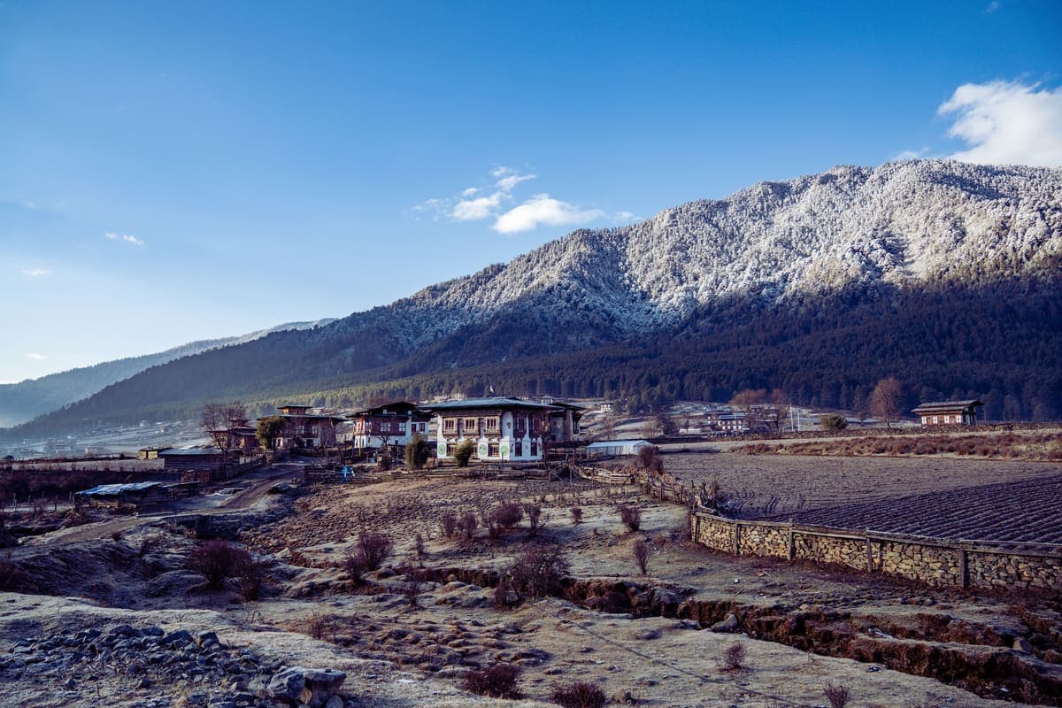
An established multi-day route through the wider region, focusing on forest and cultural landscapes rather than extreme altitude.
 11Place
High-road viewpoints and prayer-flagged approaches that create a strong sense of transition into the valley.
 12Place
The ecological heart of the valley, supporting crane habitat, grazing systems and a distinctive high-altitude landscape.
 13Place
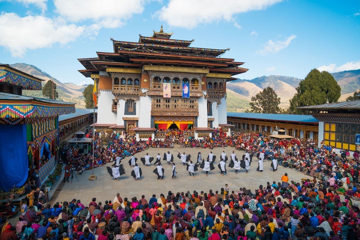
A major monastic festival at Gangtey Gonpa, with a Thongdrel scheduled on the final day in the tentative 2026 calendar.
 14Place
A quieter, colder version of the valley with cranes, frost, possible snow and an austere highland atmosphere.
Autumn is crisp and beautiful and cranes begin arriving around mid-October. Winter is the main crane season and may bring snow. Spring is good for walking. Summer is vivid green but wetter.
The district states they generally arrive around mid-October and remain into February, though timing varies.
Two nights is ideal for a balanced experience.
Yes, especially in winter; it is high, open and substantially colder than Punakha.
The official tentative calendar lists 11 November 2026.
A quieter western valley of sacred temples, villages, high passes and community-based experiences
Haa is one of the best choices for travellers seeking western Bhutan with fewer visitors. Lhakhang Karpo and Nagpo anchor the valley's sacred identity, while village walks, local food, homestays, cycling and highland traditions give the destination its strongest personality.
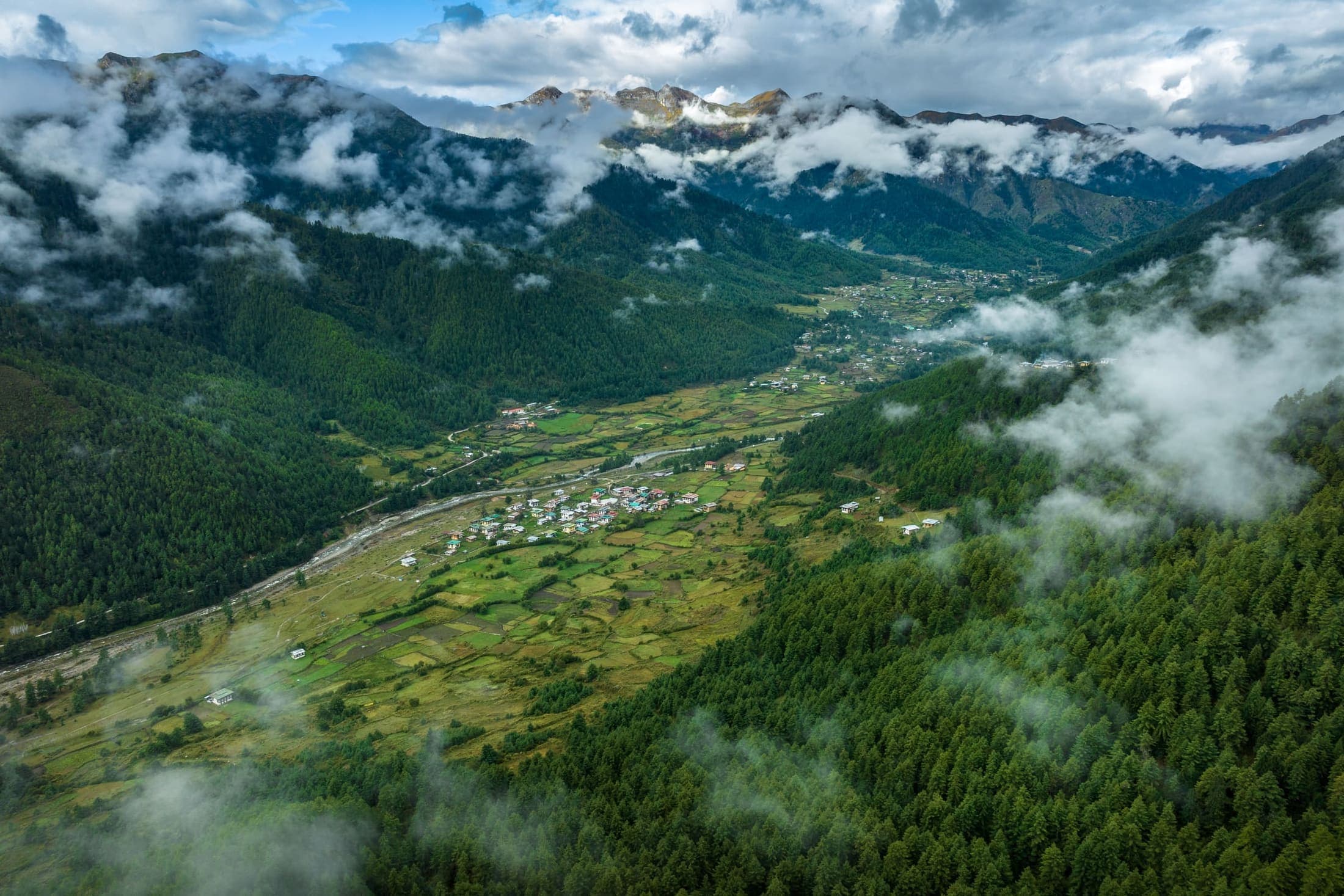
Each experience includes imagery, location, tags, recommended time, difficulty, priority, summary, and visitor notes for practical route planning.
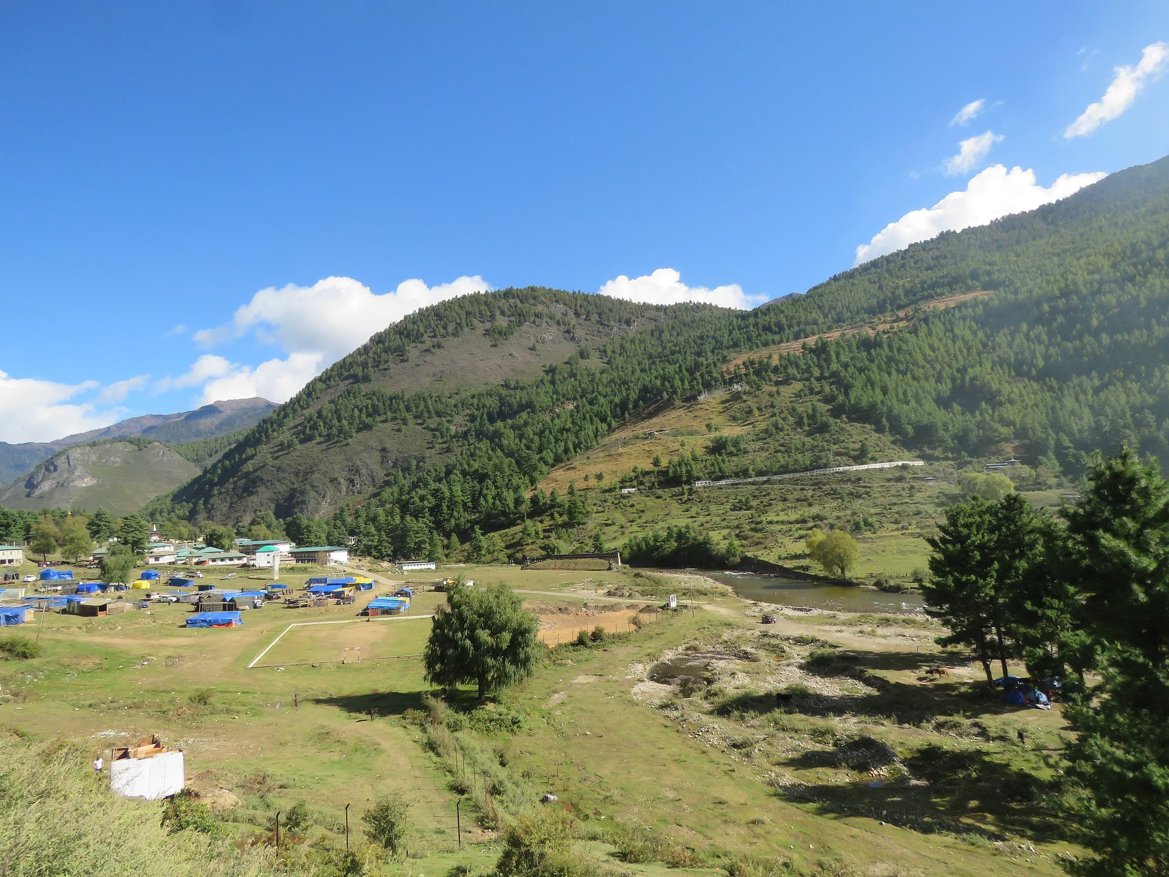 01Place
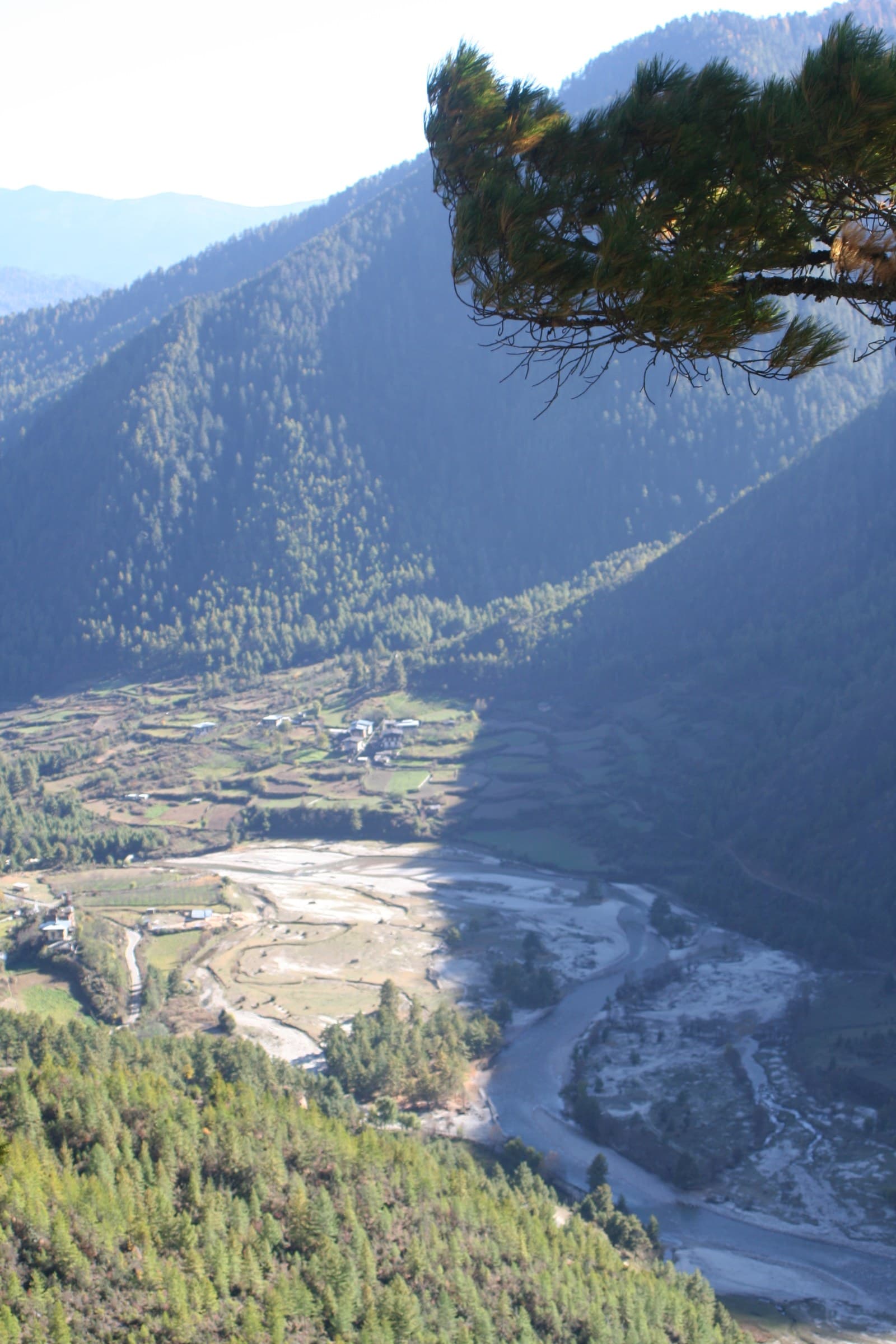
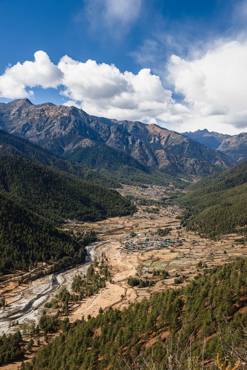
One of western Bhutan's quieter valleys, combining traditional settlements, fields, sacred sites and forested highlands. Its strength is the slower rhythm rather than a single blockbuster attraction.
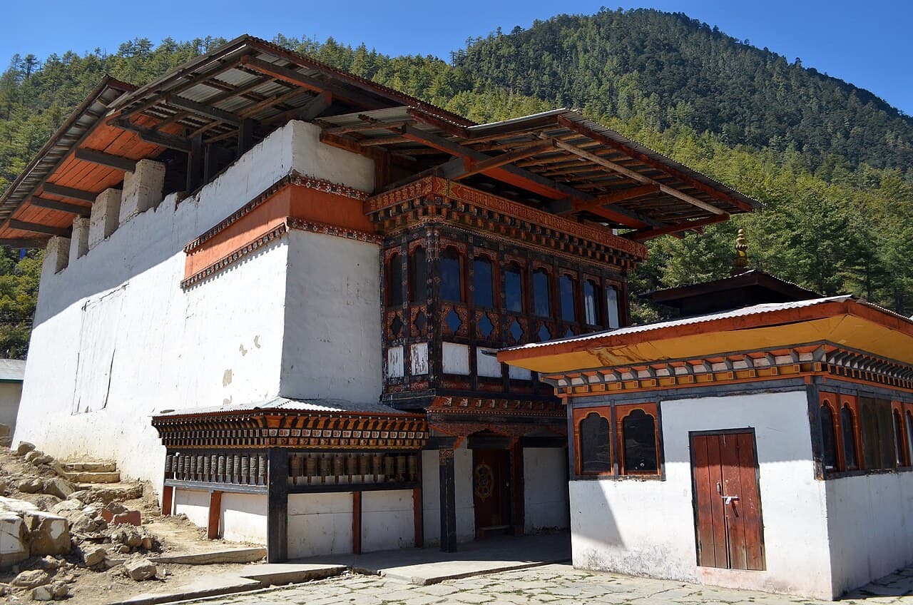 02Place
Haa's iconic White Temple and one of the valley's principal sacred landmarks, deeply embedded in local religious identity.
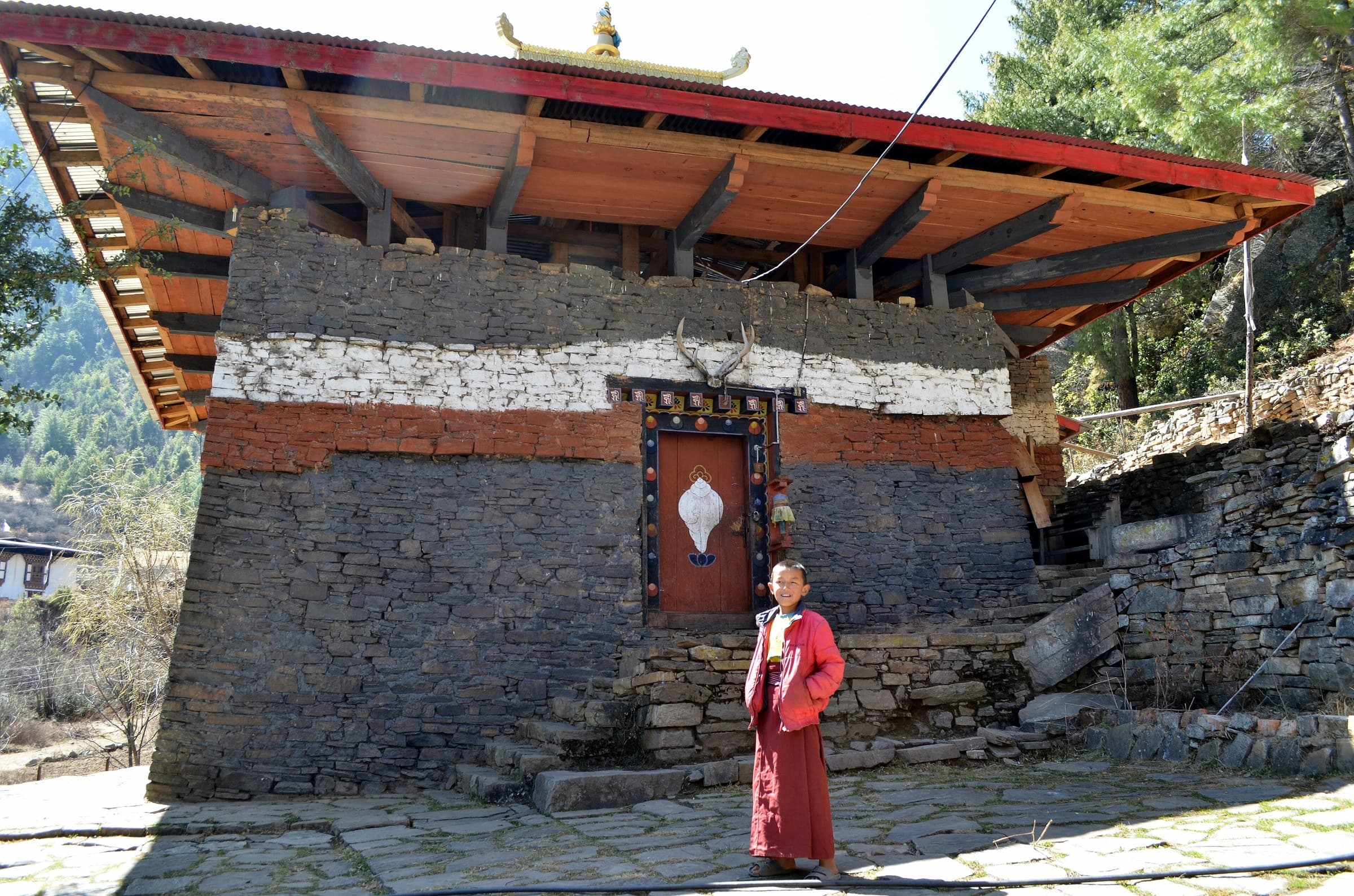 03Place
The Black Temple, paired in local tradition with Lhakhang Karpo and deeply embedded in Haa's sacred landscape.
 04Place
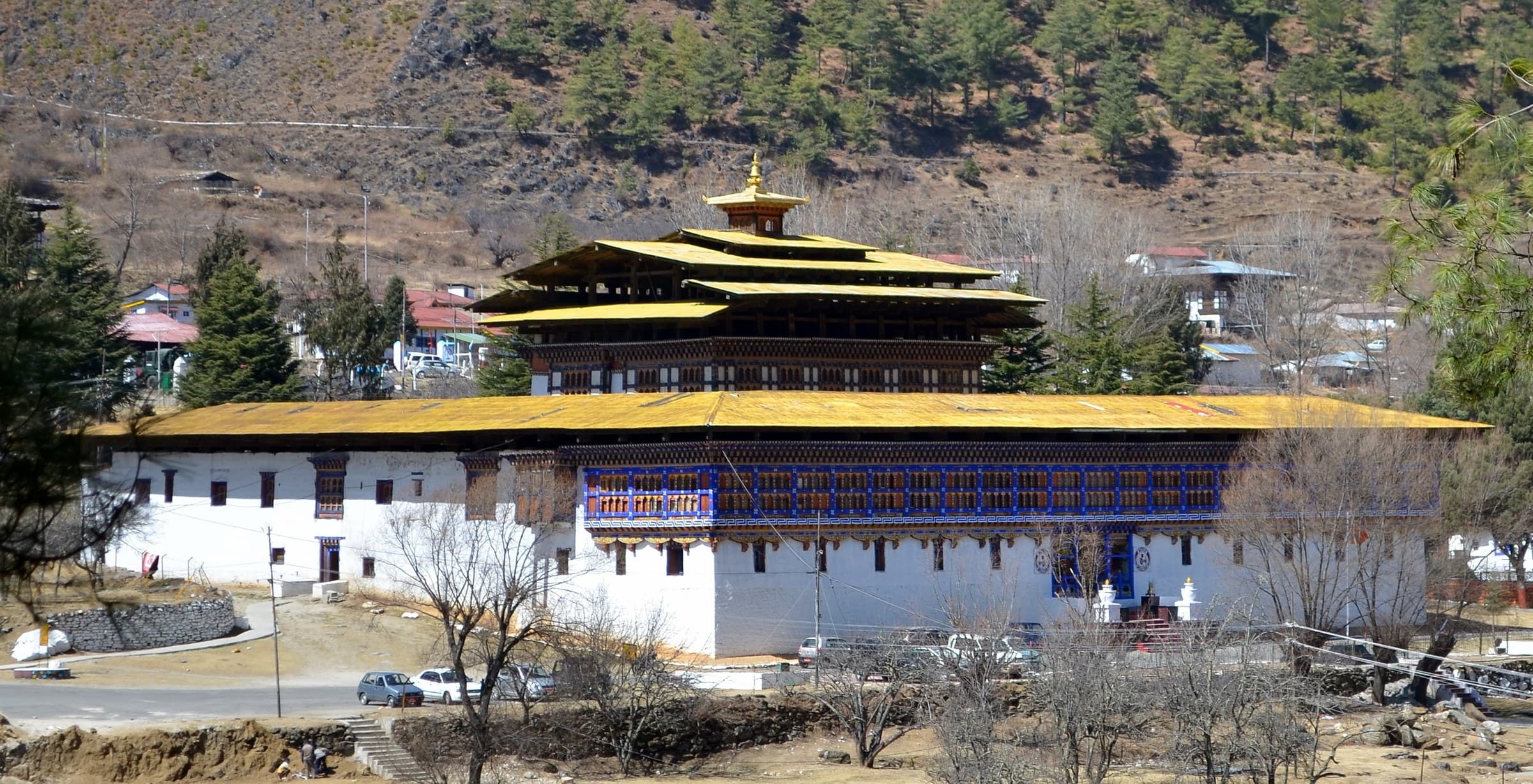
A historic dzong complex whose current functions mean it should be presented primarily through exterior and historical context.
 05Place
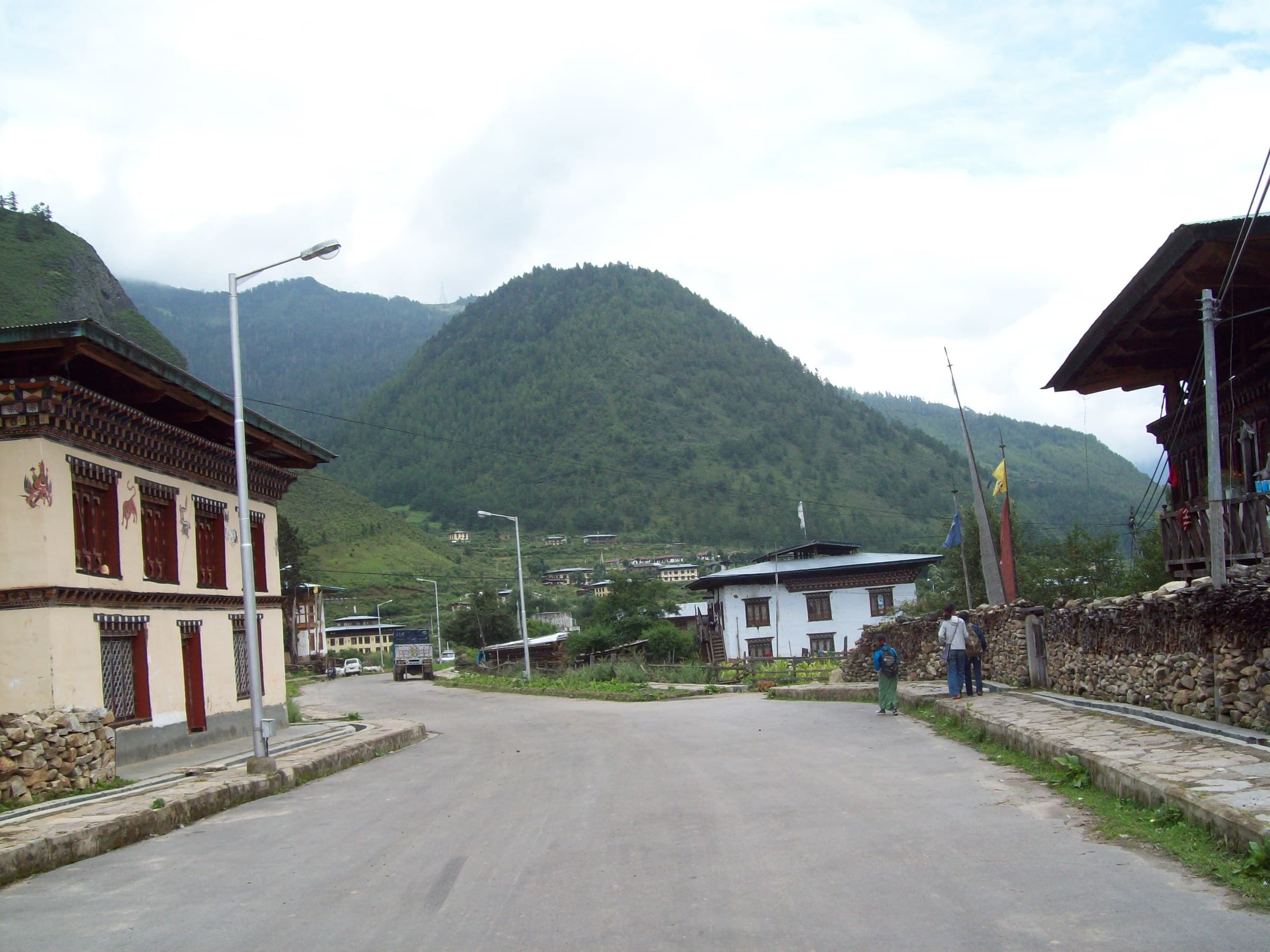
A small valley town where walking, cafes, shops and traditional buildings provide a slower local experience.
 06Place
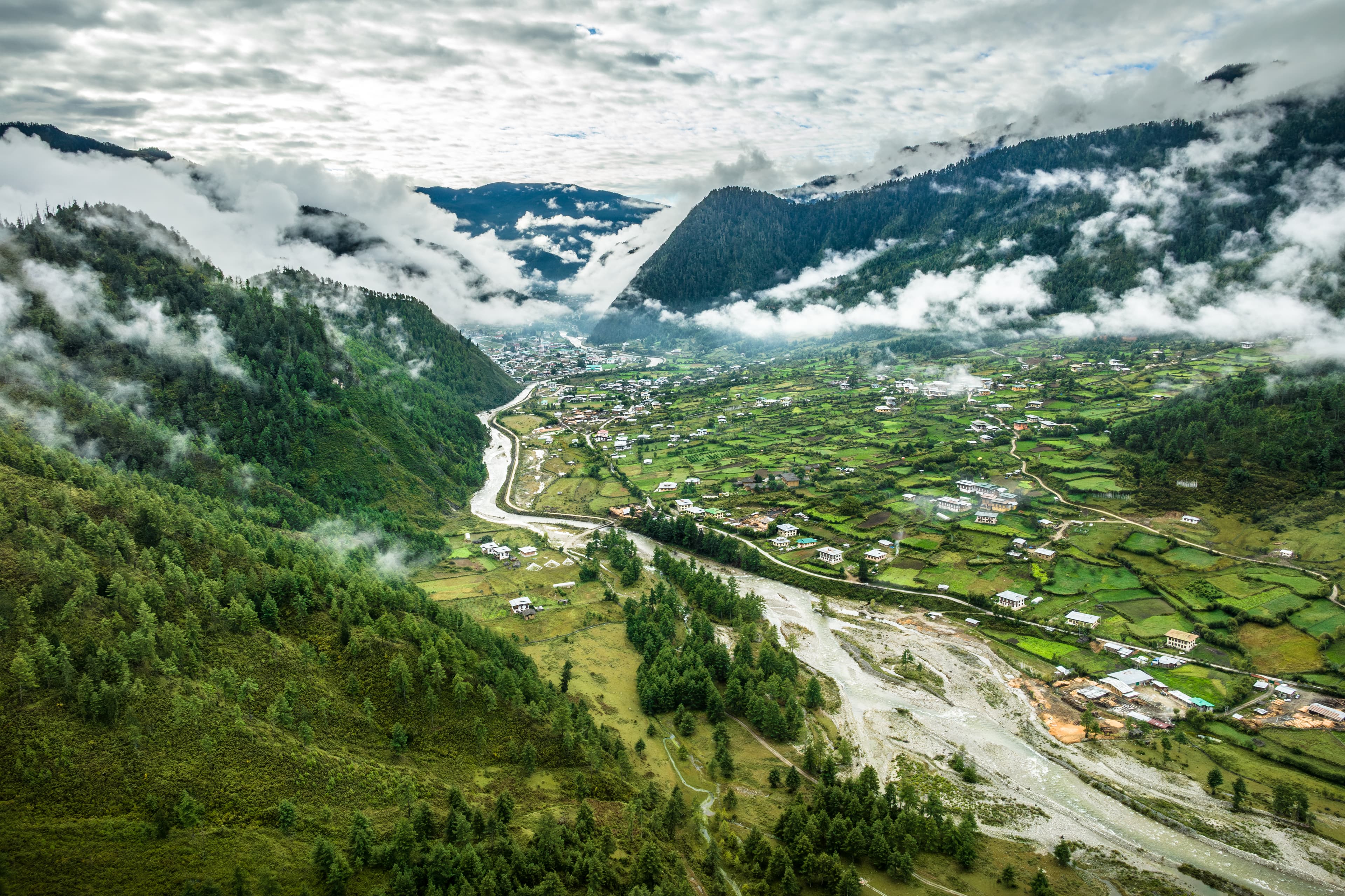
A traditional village landscape near Haa's sacred sites, suitable for slow walks and architectural photography.
 07Place
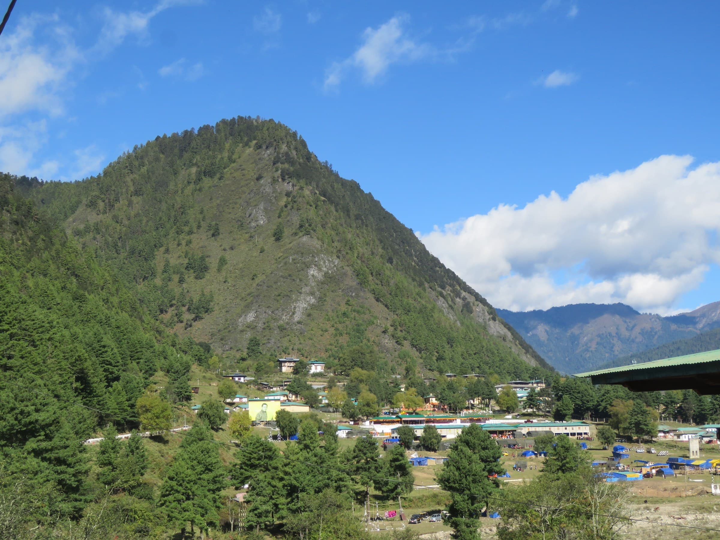
A quiet rural experience of farmhouses, cultivated land and local life beyond the standard Haa landmarks.
 08Place
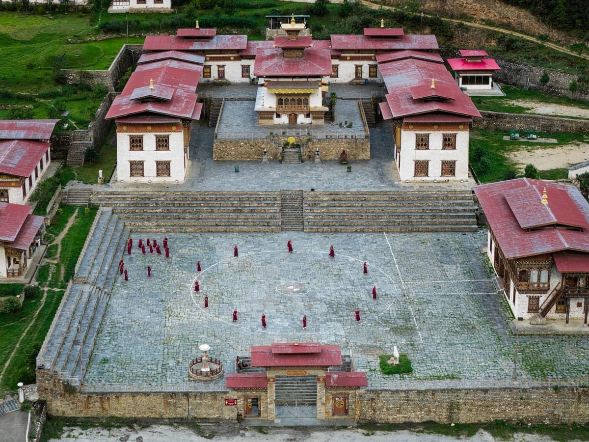
A community temple whose local history is associated with the early spread of Buddhism and a revered Maitreya image.
 09Place
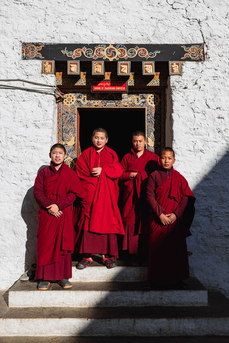
A small local temple described by Haa Dzongkhag as more than two centuries old, with history preserved through community tradition.
 10Place
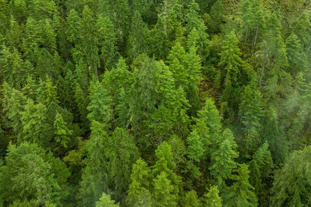
A secluded hillside religious experience combining forest walking and a quieter atmosphere.
 11Place
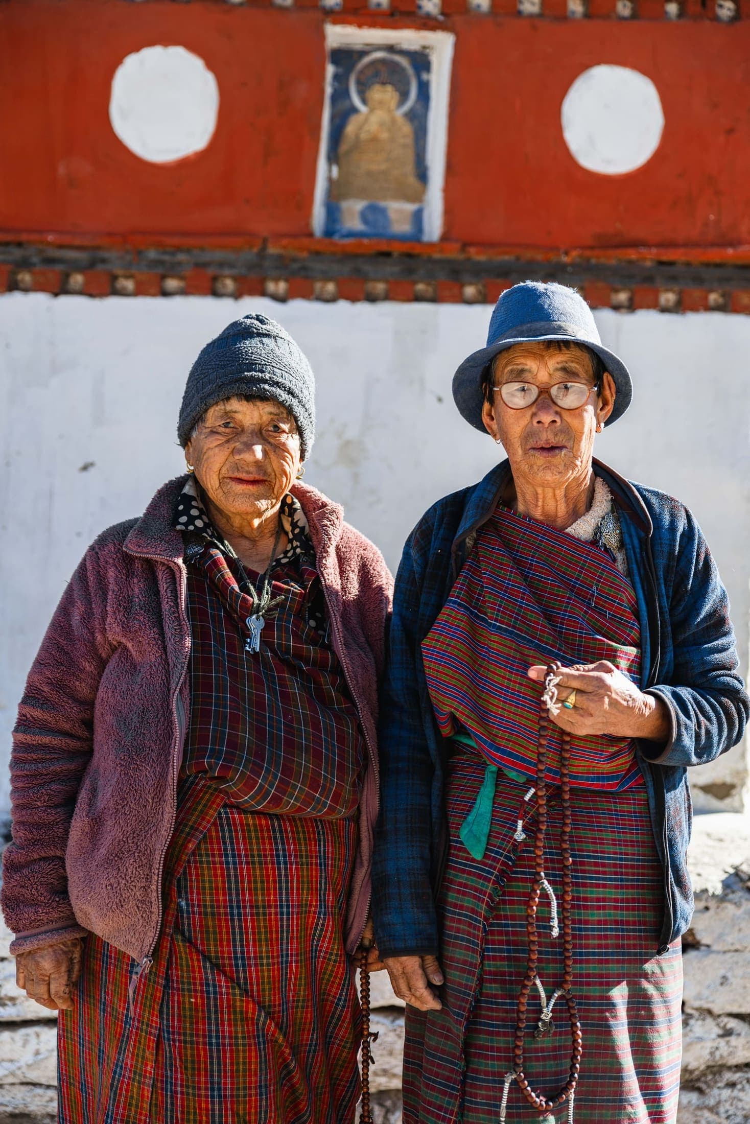
A local stay combining home-cooked food, traditional architecture and insight into agricultural routines.
 12Place
Gentle walks linking town, fields, bridges, river sections and villages, ideal for low-impact exploration.
 13Place
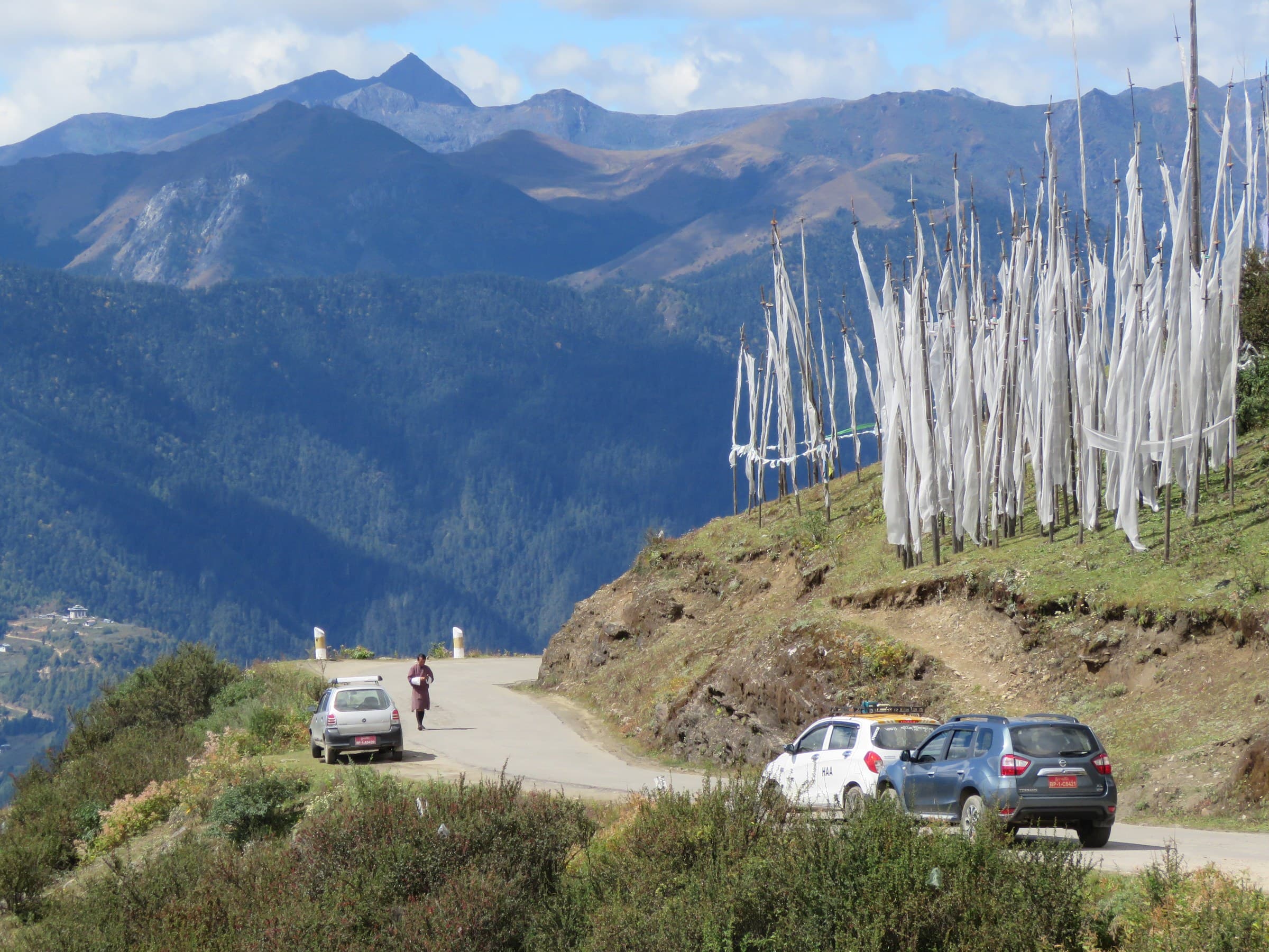
The dramatic high pass linking Haa and Paro, with prayer flags and alpine scenery near 4,000 metres.
 14Place
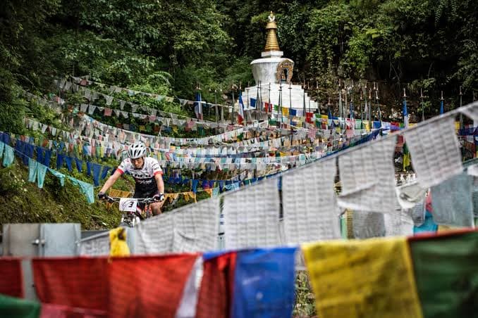
Quiet roads, fields and villages make Haa one of Bhutan's attractive areas for recreational cycling.
 15Place
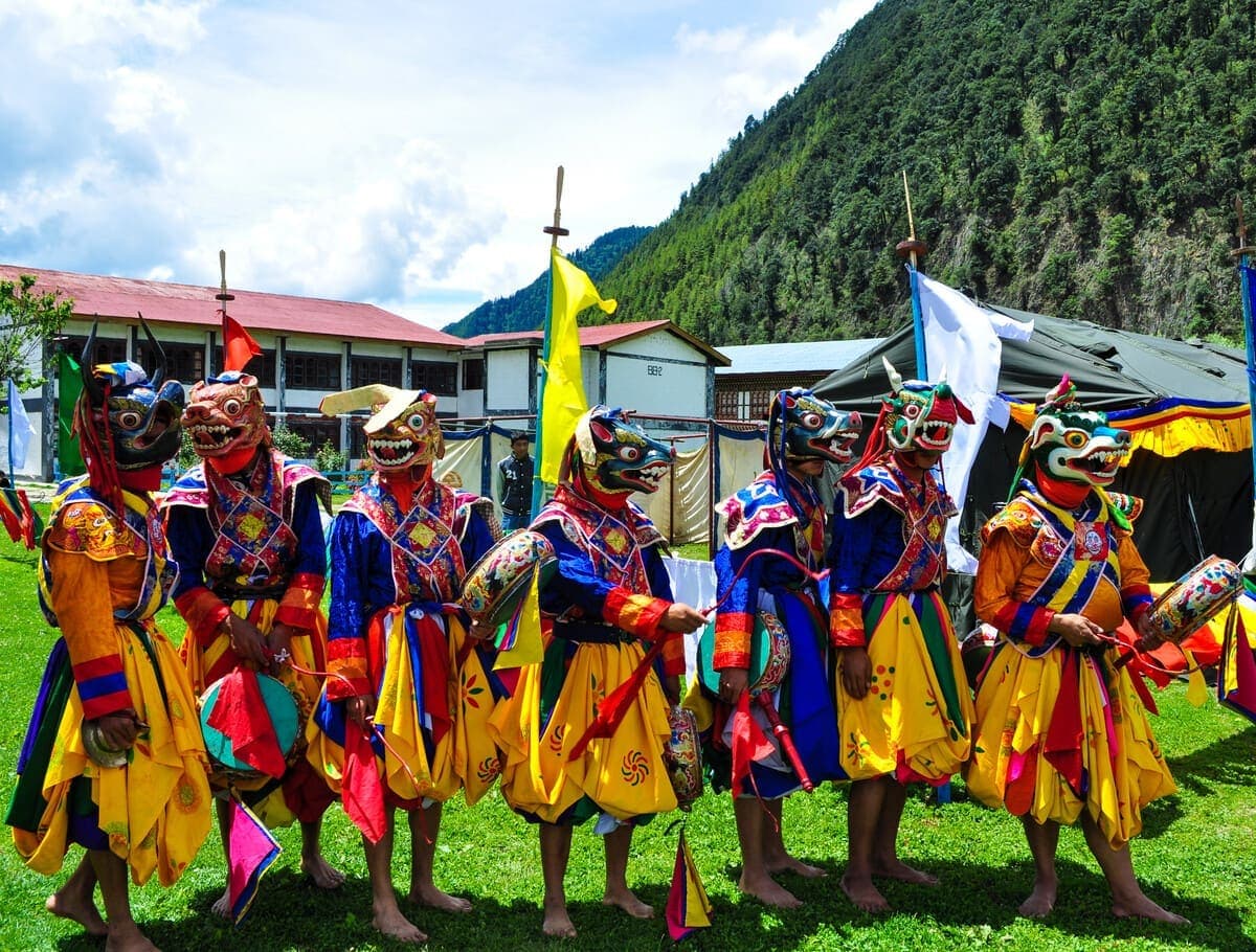
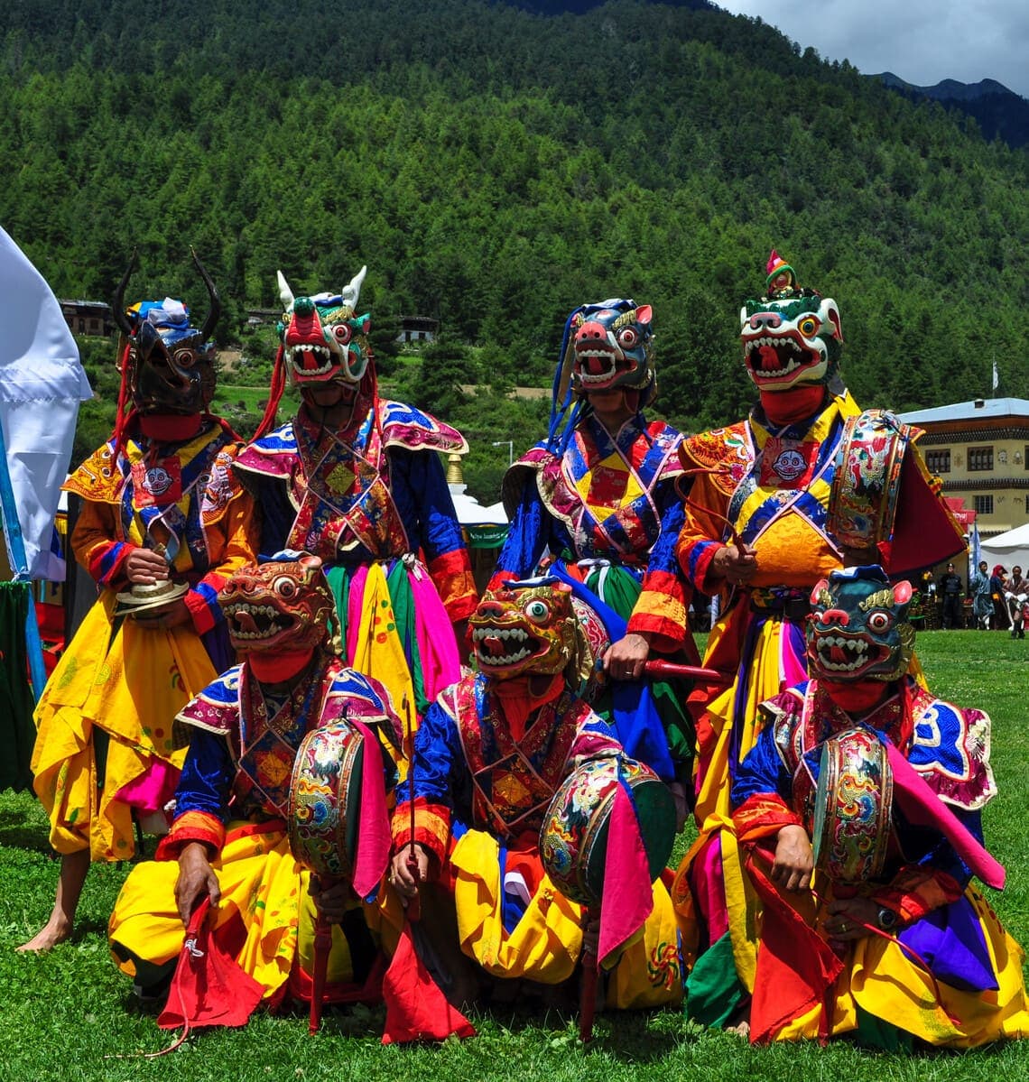
Haa's main tshechu at Lhakhang Karpo, offering sacred dance and community gathering in a smaller valley setting.
 16Place
A seasonal celebration of Haa's food, culture and highland lifestyle when scheduled.
 17Place
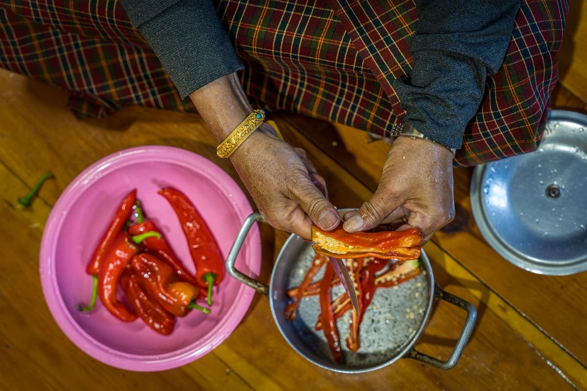
Taste Haa's distinctive buckwheat dumplings and other local dishes through a farmhouse meal or cooking experience.
 18Place
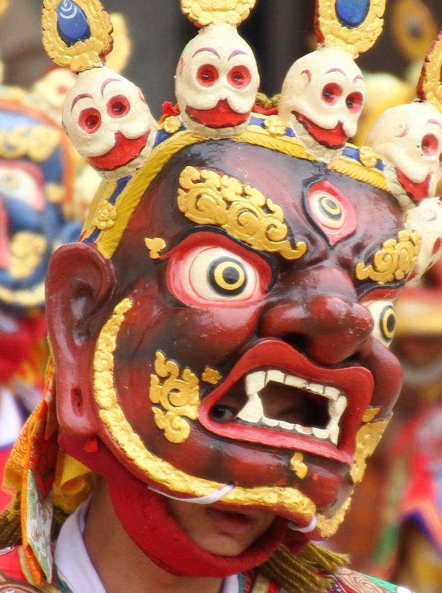
Community-led interpretation of Haa's strong traditions associated with Ap Chundu and the relationship between sacred landscape and local identity.
 19Place
An emerging tourism theme around herding, highland routes, food and seasonal livelihoods, best delivered through real local hosts.
 20Place
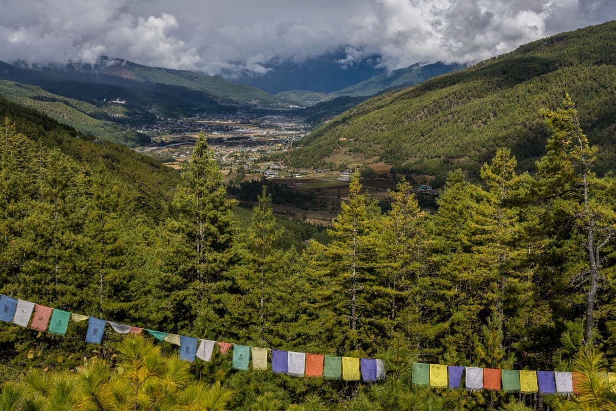
Short trekking routes connecting the Haa and Paro mountain landscapes through forest and high passes.
Spring and autumn are comfortable for walking and valley views. Summer is lush but wetter. Winter is quiet and atmospheric, while Chele La can receive snow or ice.
Yes. A day trip shows the main temples, but an overnight stay allows food, villages and the quiet evening atmosphere.
The classic scenic route crosses Chele La, weather permitting.
The official tentative calendar lists 19-21 October 2026 at Lhakhang Karpo.
Haapi Hoentoe, a buckwheat dumpling associated with Haa, is one of the valley's signature dishes.
Tell us your travel dates, pace, interests, and hotel style. We will suggest the right mix of icons, hidden gems, hikes, cultural sites, and downtime.
Custom itineraries
Hotel assistance
Private and group tours
Private transportation
Private guide